Tasmania - Traverse of the King William Range, Spires and Prince of
Wales Range - Jan - Feb 1977
All images © David Noble. No image can be used for any purpose
without permission.
Section 3 - Prince of Wales Range - Northern Section
We had now been out 12 days. We had started from the Lyell Highway and
traversed the King William Range and
then traversed the Spires.
After that we headed down to the Denison River to camp before making
our way onto the northern peaks of the Prince of Wales Range.
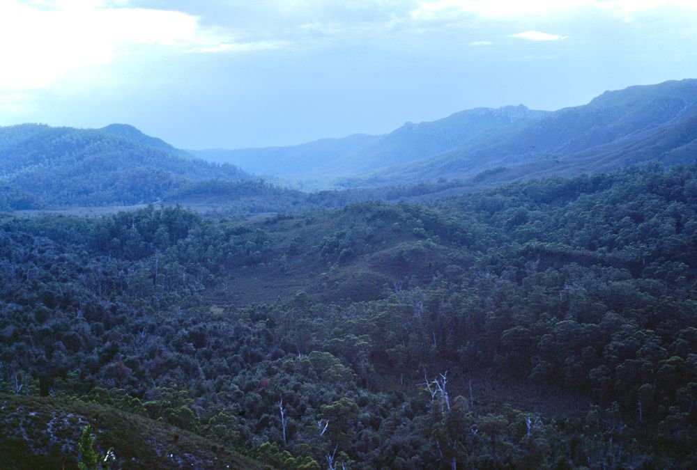
Above - We climbed out of the rainforest and were able to follow open
buttongrass leads most of the way onto the Prince of Wales Range. Here
- not far after setting off - looking back down to the Denison Valley.
You can see the weather is stormy. We could see a bushfire, probably
started by lightning - burning far to the south in the Prince of Wales
Range. We were worried that it may have burnt our next airdrop of food.
But the fire was soon put out by rain.
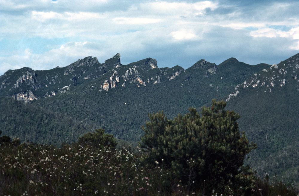
Above - Our first close view of Diamond Peak
Above - On the way up the spur - we met a party of four other
bushwalkers from UNSW Bushwalking Club. They had started from the
Denisons and were heading out via Mt Algonkian.
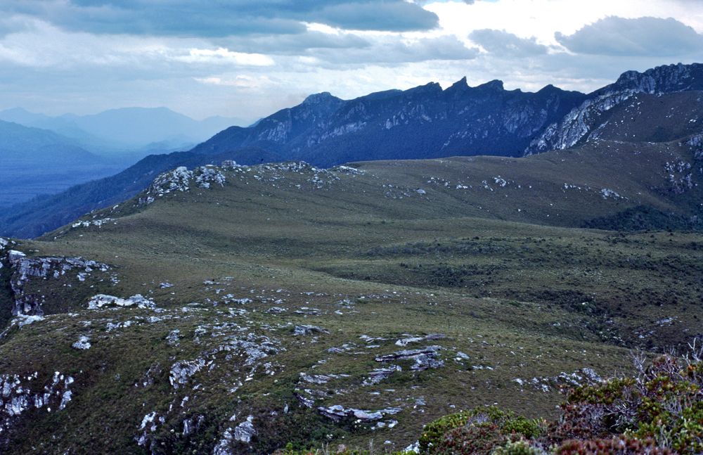
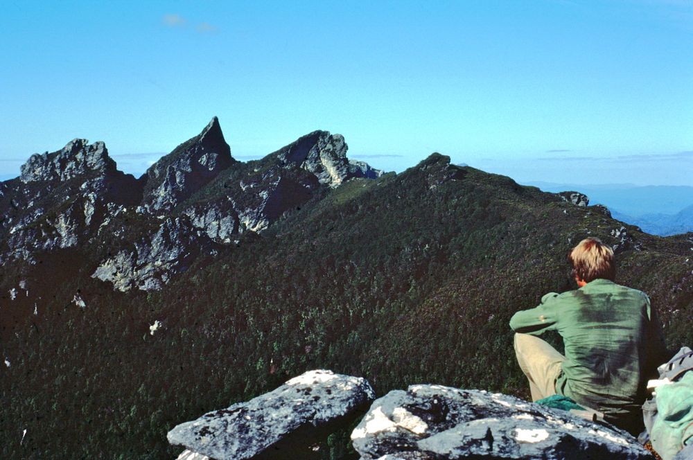
Above - That aftrenoon - Ian and myself headed out to climb the very
northern peak of the range. Looking south to Diamond Peak.
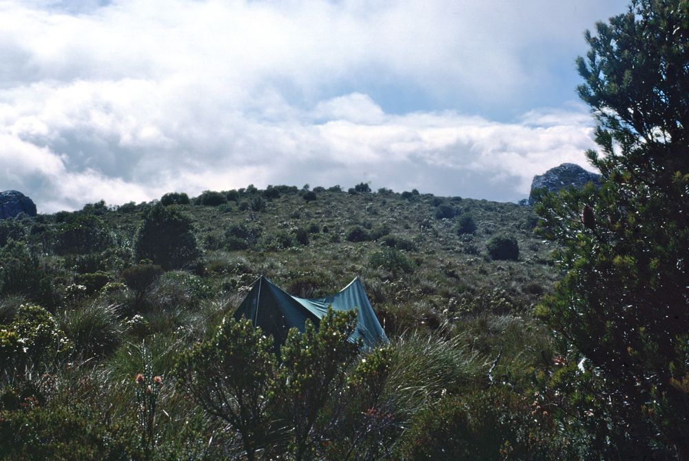
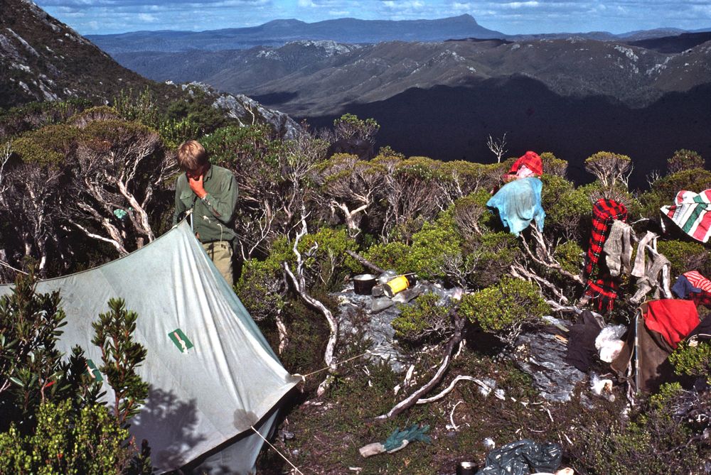
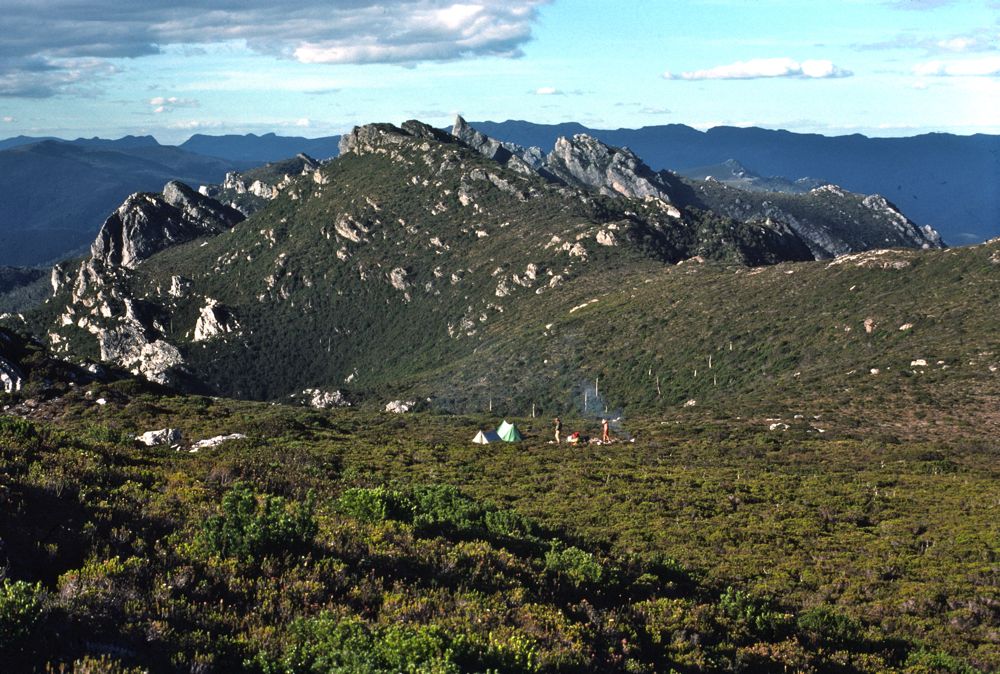
Above - Our campsite
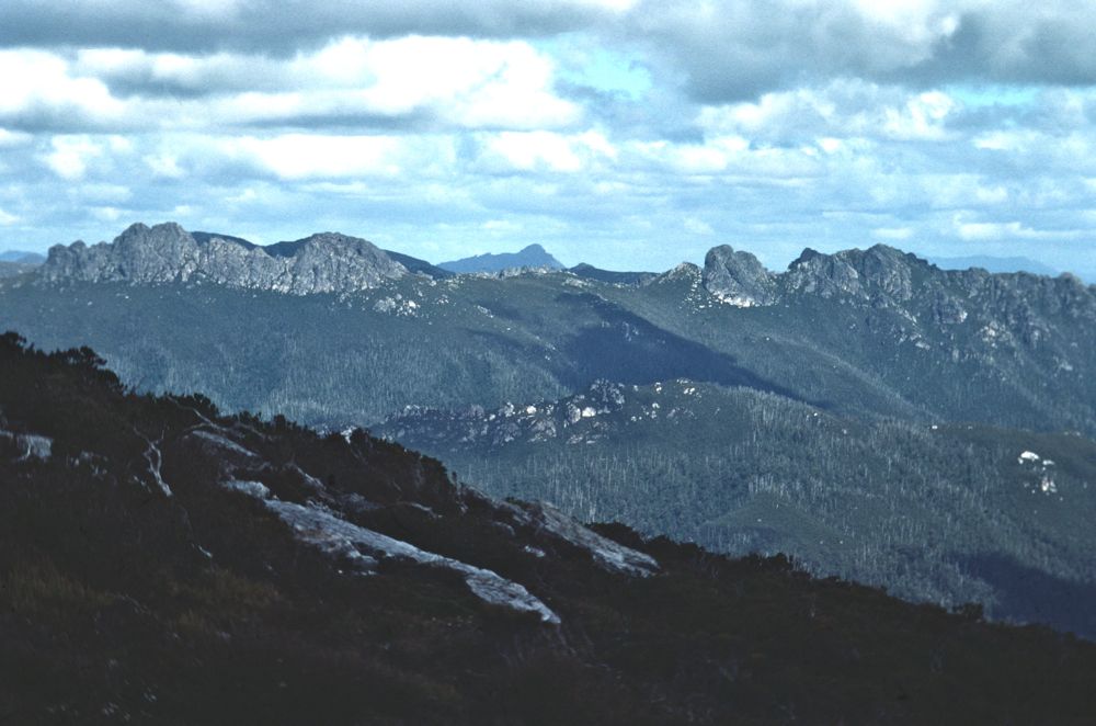
Above - The next day the weather was bad in the morning - and we didn't
leave till after lunch. As we walked the weather improved a lot. Here
is a view towards the Spires.
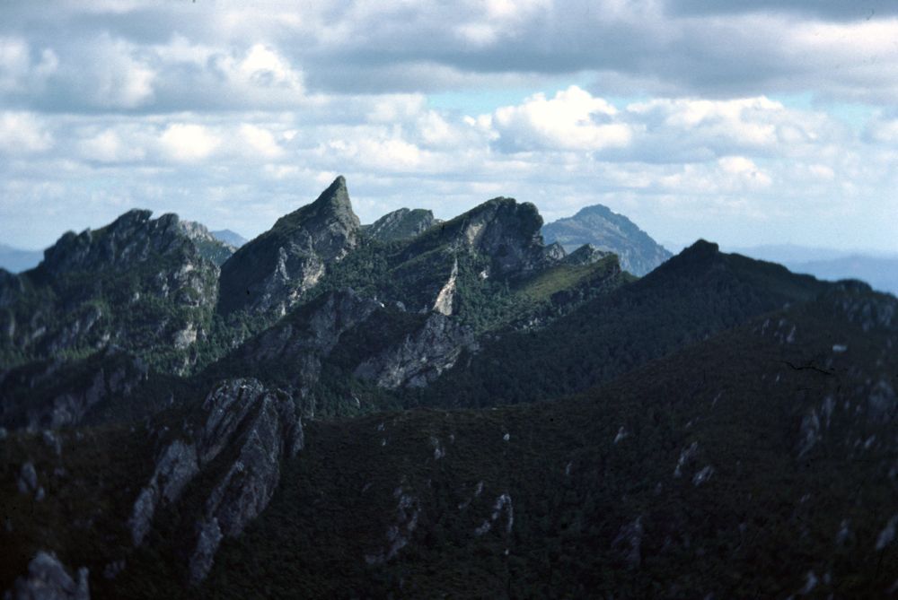
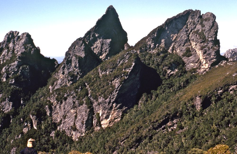
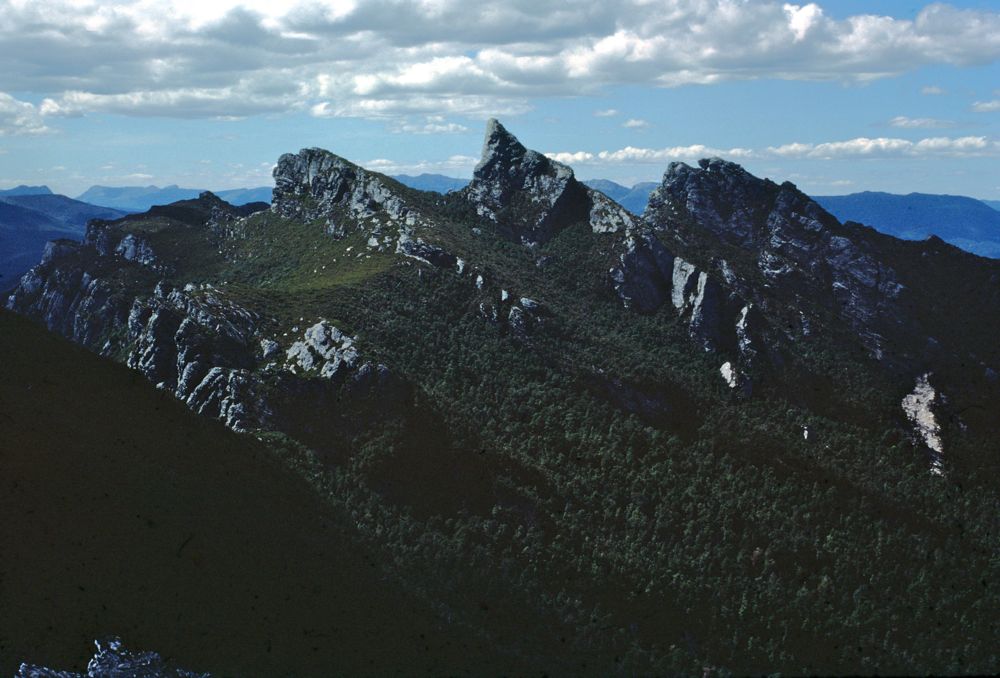
Above - Approaching Diamond Peak - the "jewel" of the south west. The
walking was quite reasonable through light scrub.
Above - Our next campsite. This one had been cut out of the scrub by
another party many years before.
At that campsite we had to syphon water out of yabbie holes. For the
remainder of the trip - finding water would be a major problem.
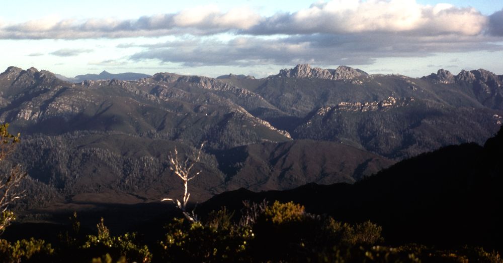
Above - Looking to the Spires
Above - The next day - Ian looking towards our next objective - Diamond
Peak. The peak is actually overhanging on three sides - which makes the
summit routefinding easy - as there is only one more way to try.
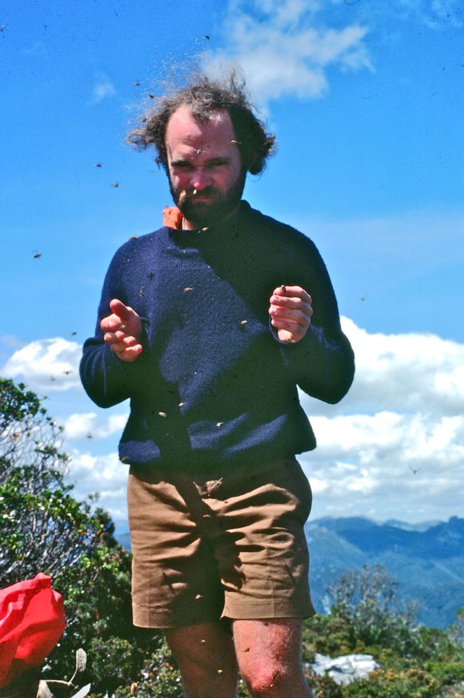
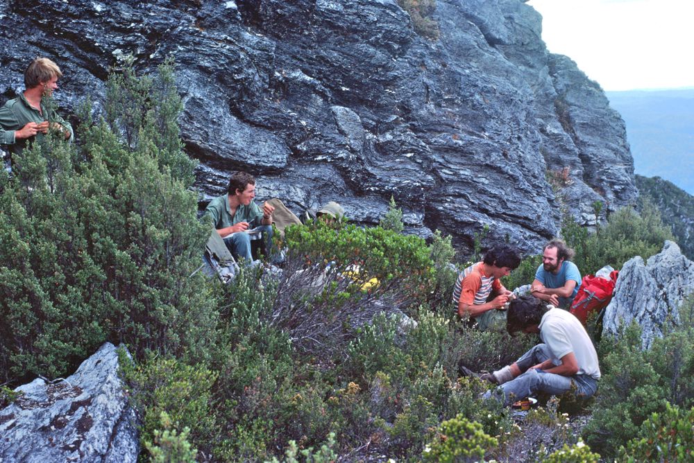
Above - Fine weather brought out the March flies. Here they are
bothering Peter. Later on - on the very dry, scrubby section further
south - Peter extracted "liquid" from them to ease his thirst.
After climbing Diamond Peak - the range was more broken - and we had to
negotiate a chasm.
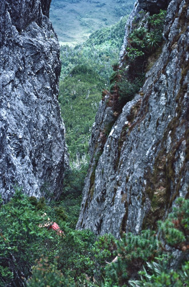
Above - Peter in the chasm
Above - looking back to Diamond Peak
Late in the aftrenoon - we reached a summit with a large stone stone
survey trig on top. Nearby was an expired airdrop - so we camped on the
open tops nearby.
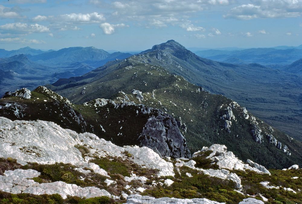
Above - Looking south from the trig towards Mt Humbolt.
Except for the descent from this peak - the going the next day was
quite easy - mainly through buttongrass.
Above - Looking back to Diamond Peak and our campsite
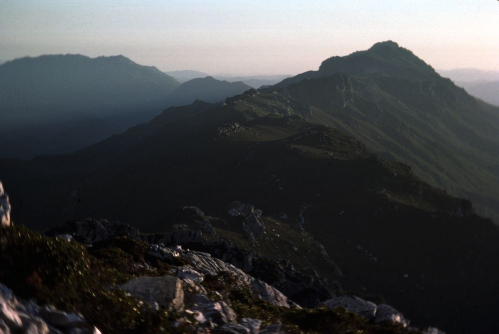
Above - Dusk - Mt Humbolt and the Hamilton Range on the far left
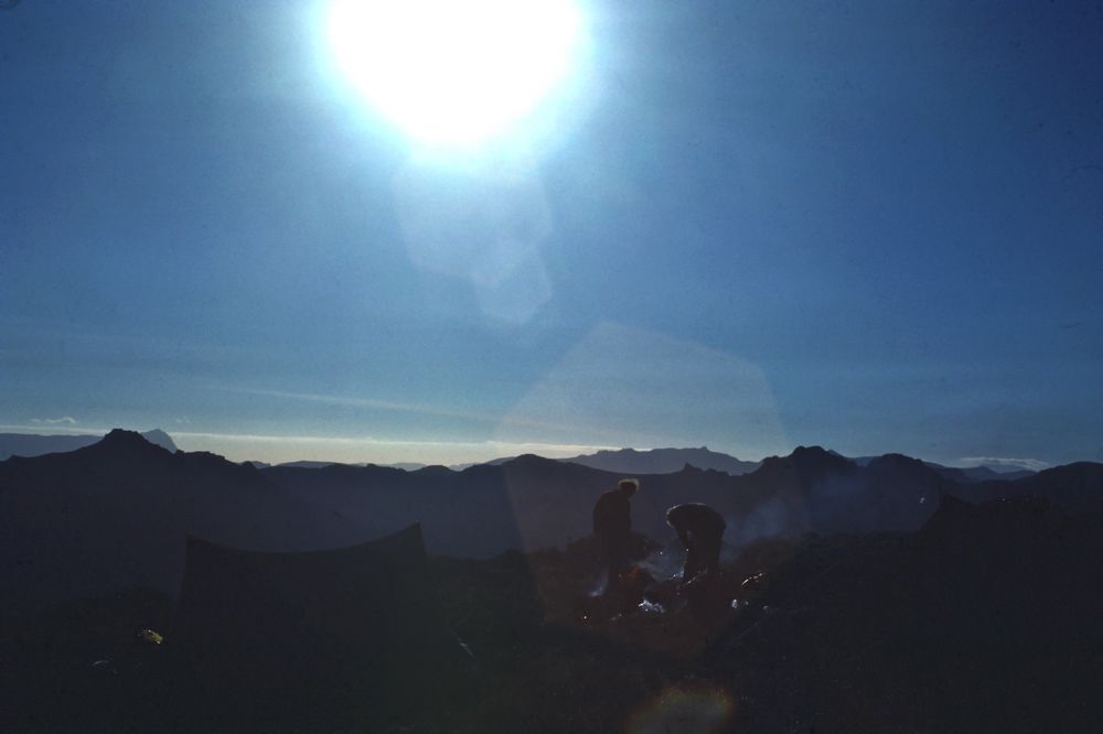
Above - Ian and Peter cooking at the campsite
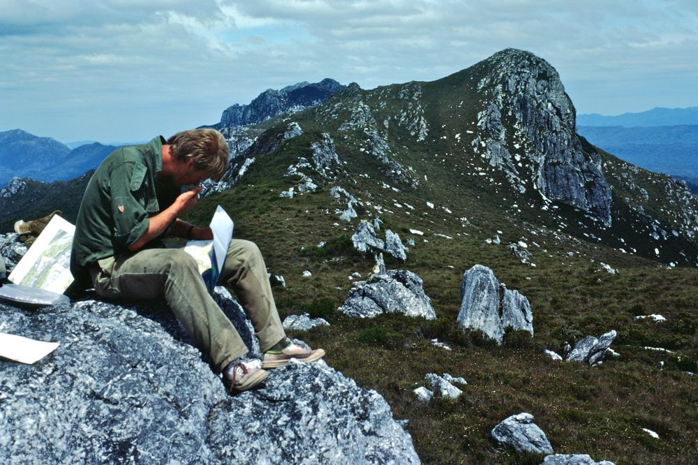
Above - The next day - Ian checking the maps on the way to Mt Humbolt
Continue to next section - the southern
Prince of Wales Range
Return to menu
Return to david-noble.net