Tasmania - Traverse of the King William Range, Spires and Prince of
Wales Range - Jan - Feb 1977
All images © David Noble. No image can be used for any purpose
without permission.
Section 1 - King William Range Traverse - Gell River
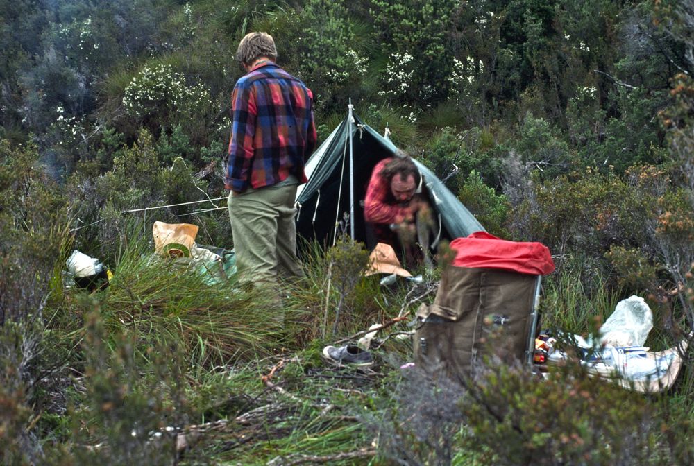
We hitched
up the Lyell Highway from Hobart to the base of the King William Range
- where we camped. The next morning the weather was bad - so we waited
till after lunch before climbing onto the range.
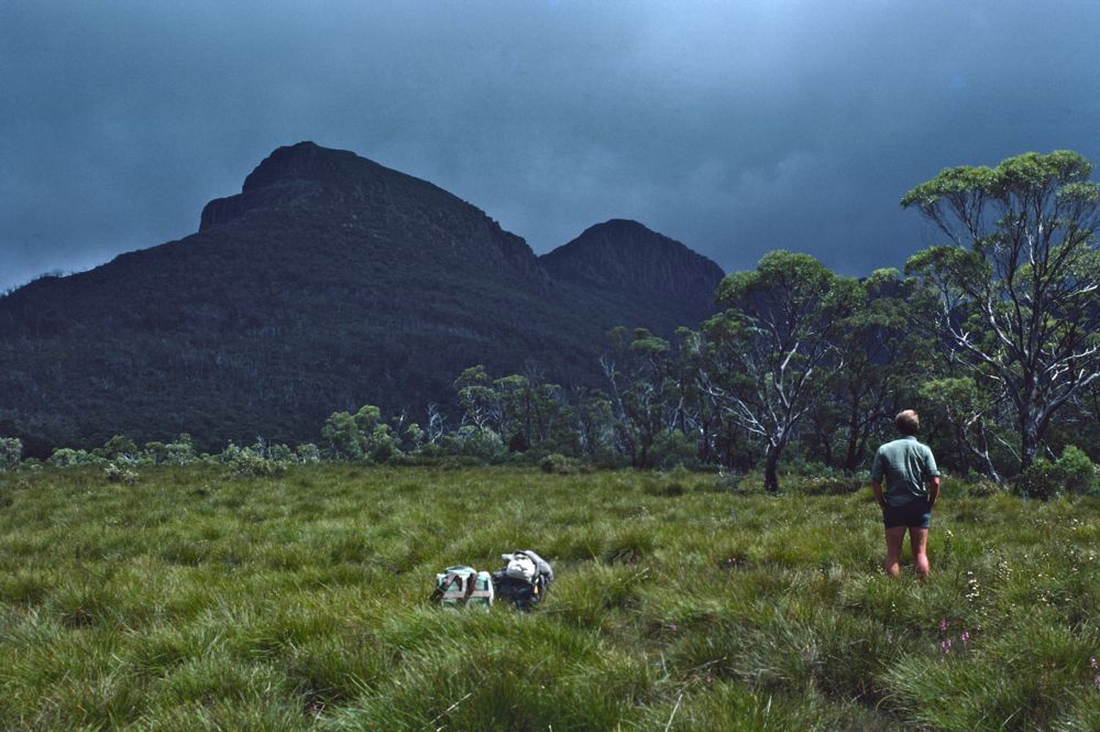
Above - Ian looking up to the range
Above - Once on the tops, after climbing King William I - Ian and
myself also climbed Mts Pitt and Milligan
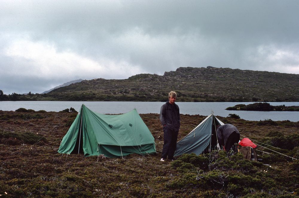
Above - Ian and Peter at the tents of our first campsite in the range
The next day - the weather was bad that morning - and again we didn't
set off till after lunch.
Above - We camped in a big saddle on the range
Above - Then it was an easy climb up to near Mt King William II
Above - Again on the tops - looking towards King William II
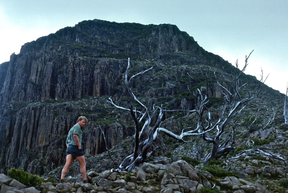
Above - Ian walking on the tops. Behind you can see Mt King William I
and Mt Olympus
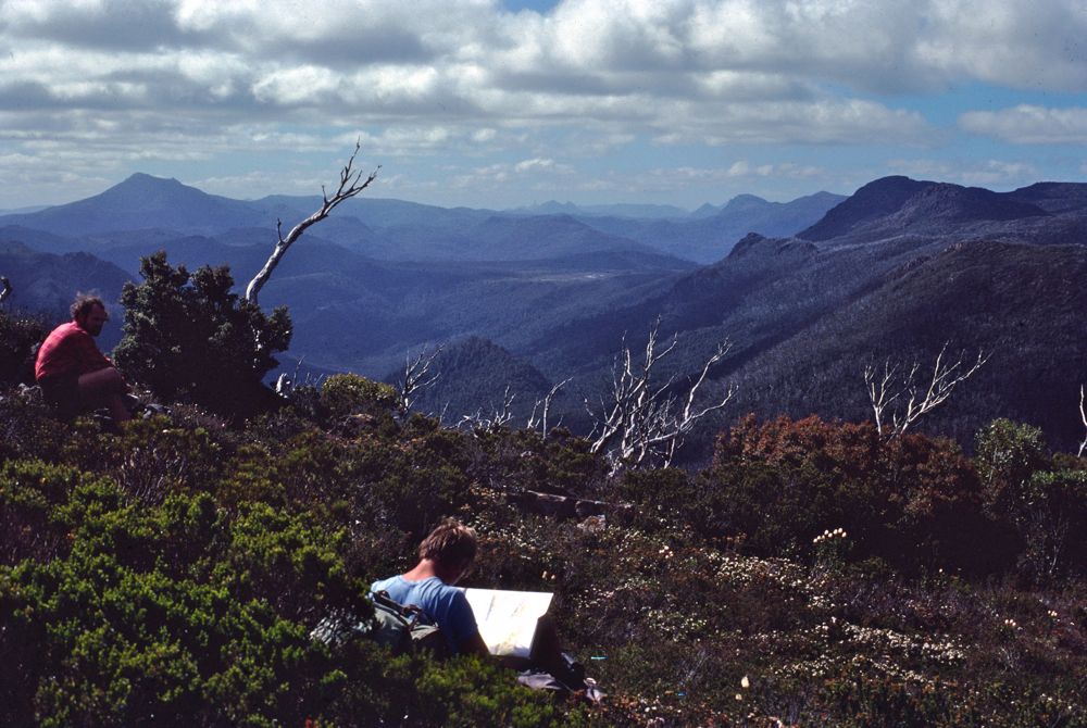
Above - On the tops

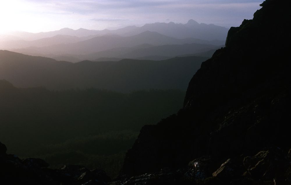
Above - Dusk - looking towards Frenchmans Cap
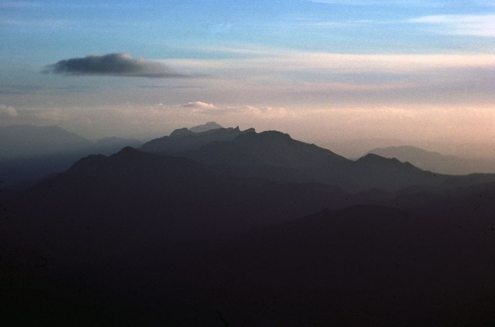
Above - Dusk - The distant tops of the Prince of Wales Range and the
needle of Diamond Peak
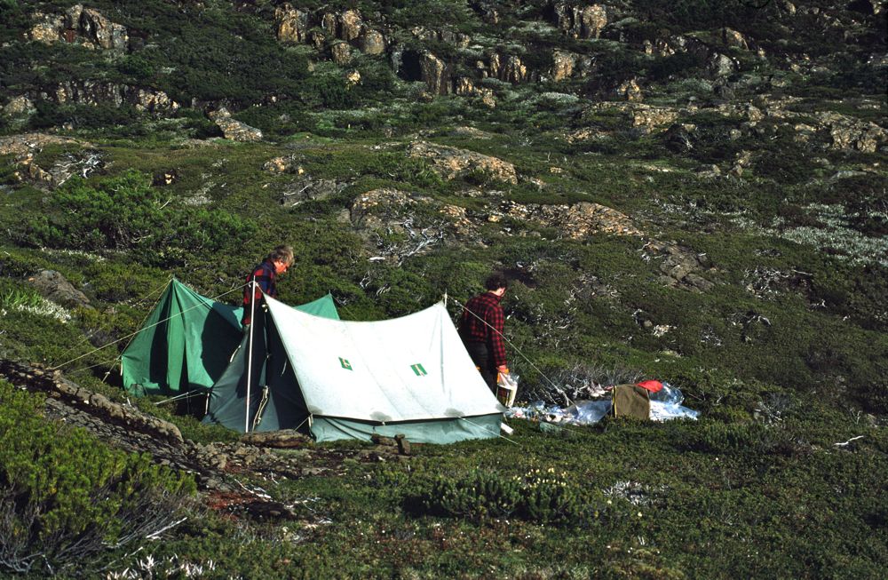
Above - Our campsite
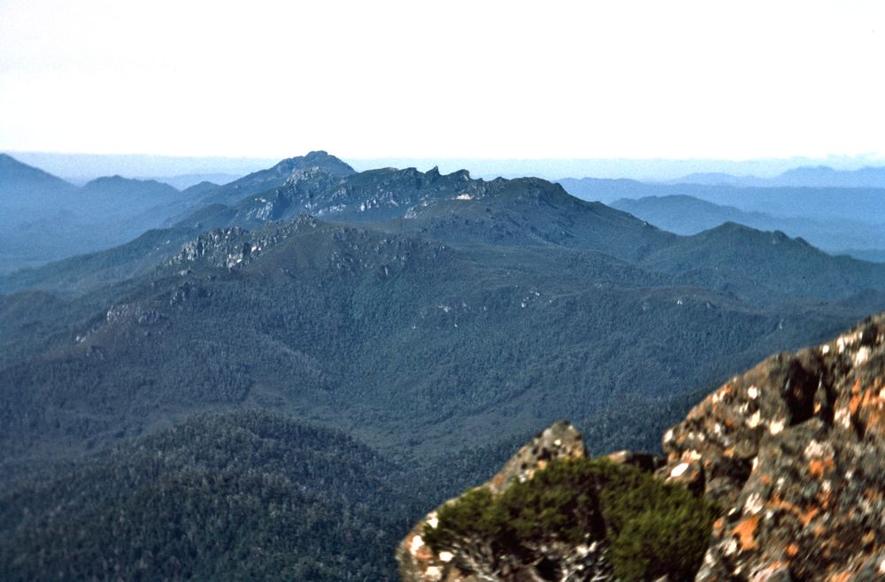
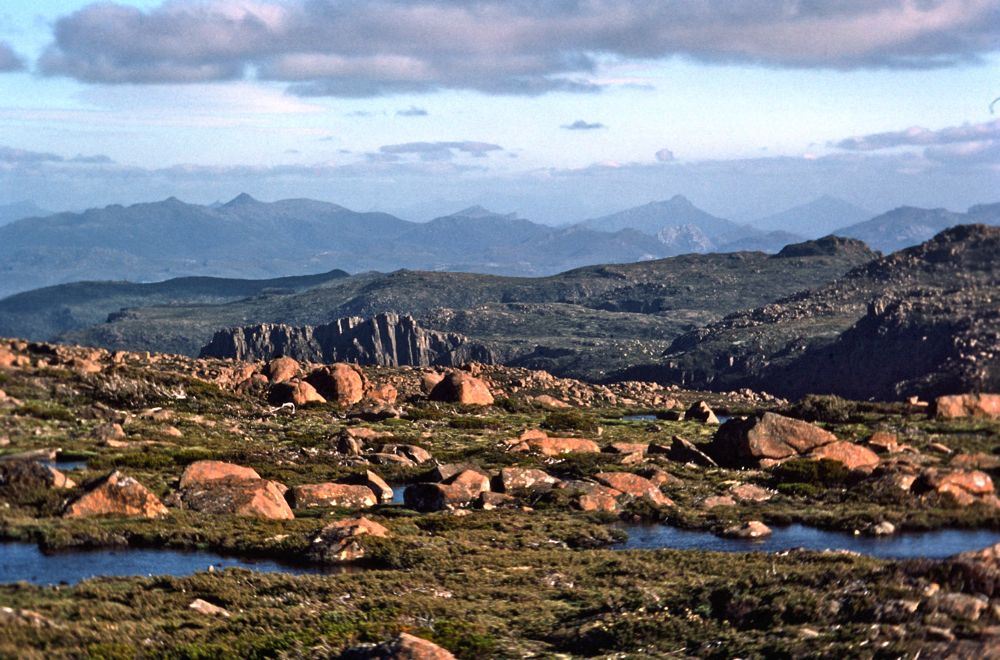
Above - The Prince of Wales Range from King William III
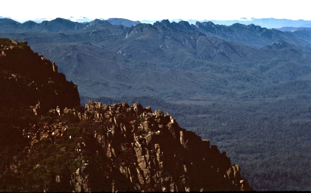
Above - The Spires from King William III
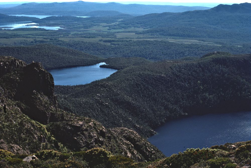
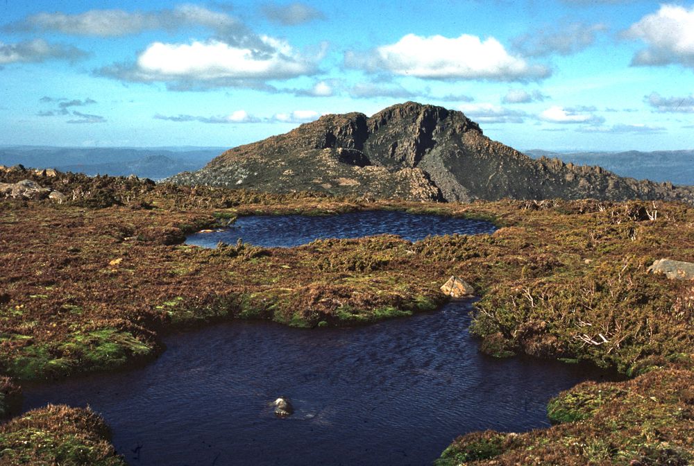
Above - Lakes below the range
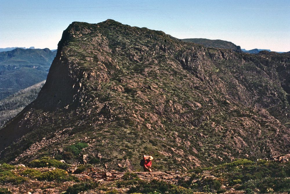
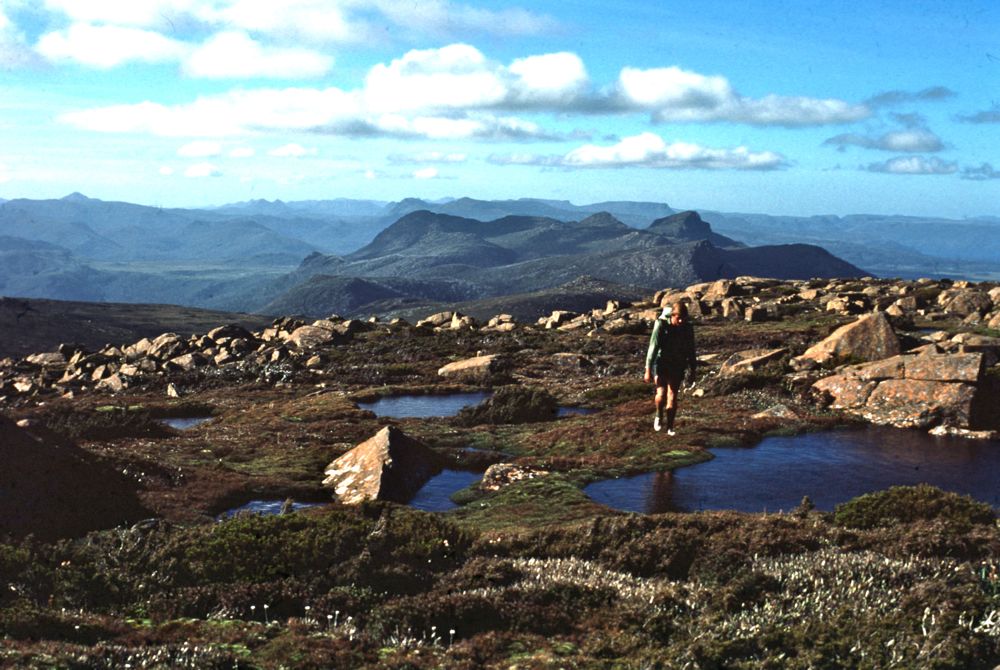
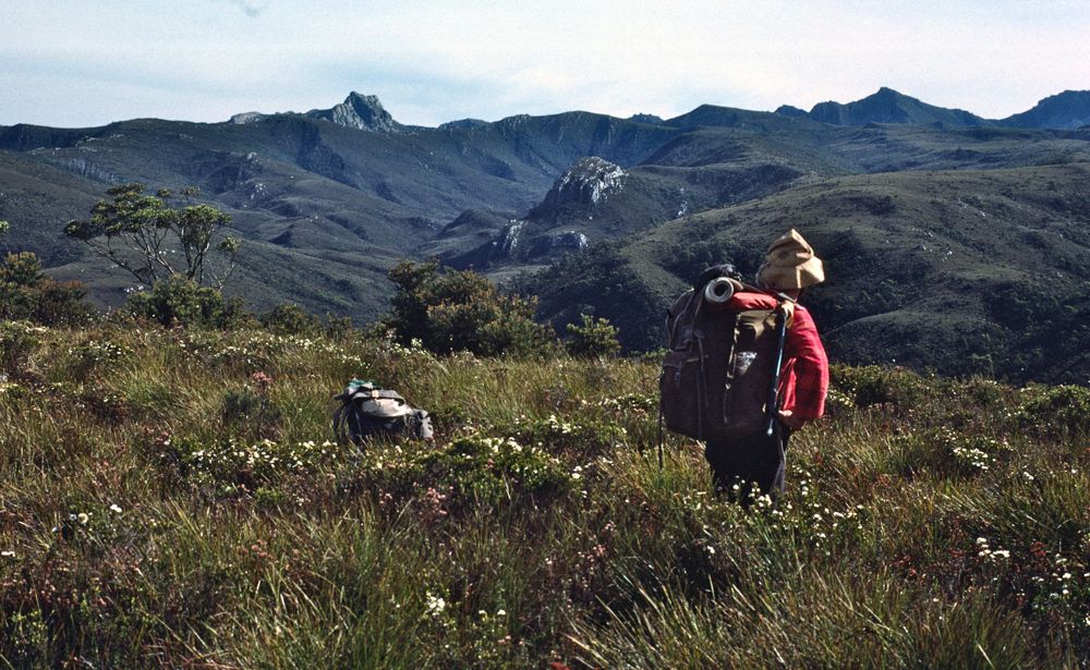
Above - Peter on the range
Then it was a few hours of scrub to get to open buttongrass leads on
the plains below
Above - Our next campsite - a nice place near the base of the range
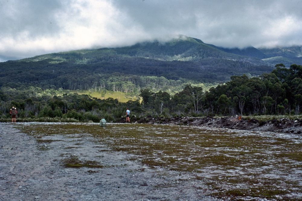
Above - Next morning we headed to this airstrip - built by a
prospector. A nasty scar on the landscape! From here we followed a
bombadier track to the Gell River.
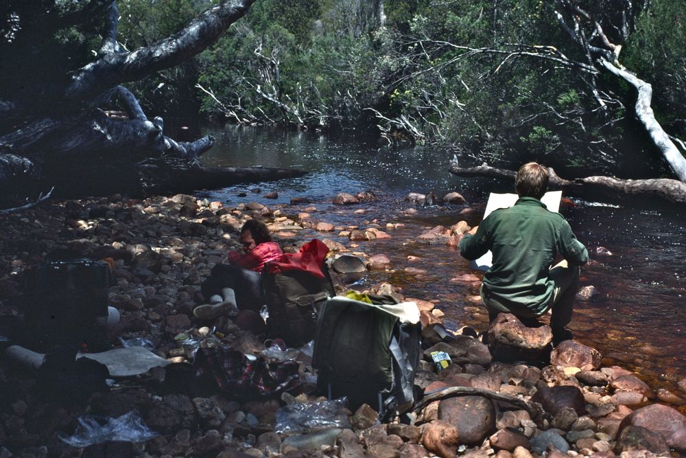
Above - Peter and Ian on the Gell River
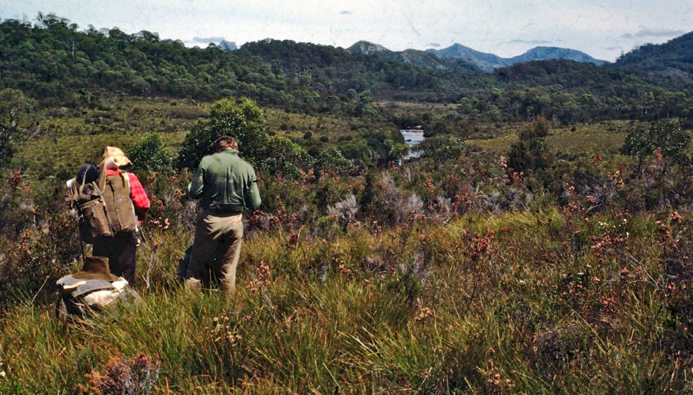
Above - In buttongrass near the Gell River
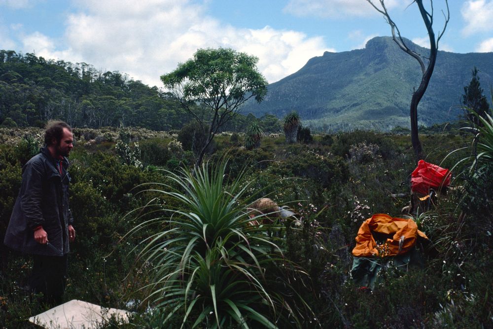
Above - Peter looking up to nearby peaks
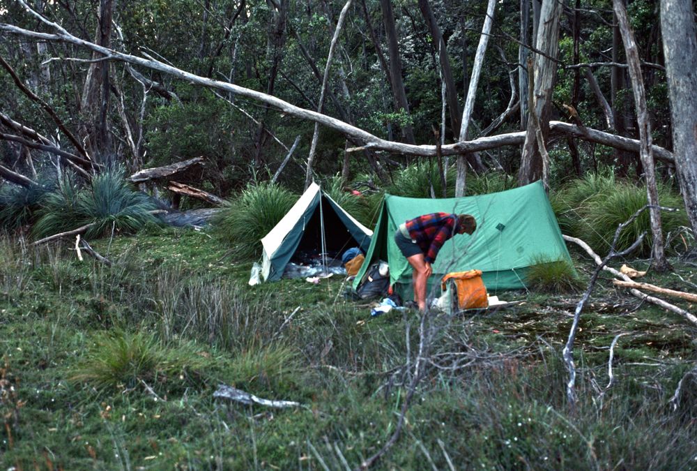
Above - Our campsite near the Gell River
Continue to next section - The Spires
Return to menu
Return to david-noble.net