It was time to visit two classic South Wolgan canyons. Dan was bringing a group up from Canberra and Rik and Rob were keen to come along too. We met at Barcoo Swamp campsite on saturday morning and there decided our plans.
Rik and Rob were heading off to visit two quite remote canyons. This would be a long hard day with a lot of abseils and some careful route finding up tricky passes.
I joined Dan’s party and we headed off to visit Surefire Canyon. As well as Dan, there was Gabe, Sharon and Mica. I had first visited this very nice canyon almost 36 years ago to the day. It was about a 5 km walk along the now overgrown fire trail to a road junction not too far above the canyon.
When I first visited this area – it was an abandoned farm. A permissive occupancy based around a small basalt peak, marked on Carne’s old geological maps as “Murrays Mount”. This basalt area is normally passed by visitors on their way to the nearby Heart Attack Canyon. On our early trips to Surefire Canyon we started off from Murrays Mount and joined the creek nearby. Around 1977, there was an extensive drilling program in the area. Coal mining was planned. Roads were pushed into drill sites in many places. Many of these roads still remain – the road that heads out to Tigersnake Canyon, the road above Galah Canyon and also the road heading out on the plateau between the branches of Surefire Canyon.
In the early 80’s the Wran government protected the area as Wollemi National Park and plans for mining were abandoned. Thank goodness! The area remains wild. Anyway, we completed the 5 km or one hour walk to a small clearing and road junction, which was also a drill site and bit of a depot for the drillers. The drillers had a camp a kilometre or so to the east and the main trail continues another 6 km to a great lookout overlooking the junction of Rocky and Deanes Creek. Nearly all the creeks in the area – small and large are canyons.
We left the firetrail at this junction and headed out along a very overgrown drilling road. This heads out to a point on the plateau between the two branches of Surefire Canyon. This road is now very hard to follow and we lost it a few times. At its terminus you can find a metal cap on top of an old drill borehole. It is easy to lift the cap off and drop rocks down the hole. They take a very long time to reach the bottom.
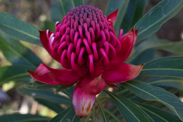
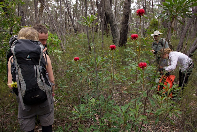
We then headed down into the creek. The area is quite spectacular – lots of pagodas and high cliffs. we stopped to check out some interesting tea trees that were in flower. There were what looked like the same species but with either white, pink or red flowers. The red flowers looked to me like those of Leptospermum spectabile, but Roger Lembit has identified them as the red form of Leptospemum macrocarpum. This seems to fit.
Getting into the creek proved a bit tricky. On some previous trips, I have been able to scramble down without abseiling. But you need to find the right spot. And the tops are now quite scrubby. It is not easy to explore for the pass. We ended up doing a double rope abseil.
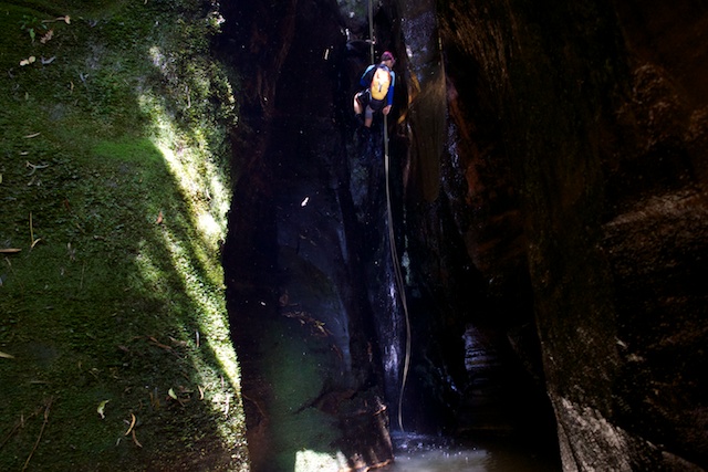
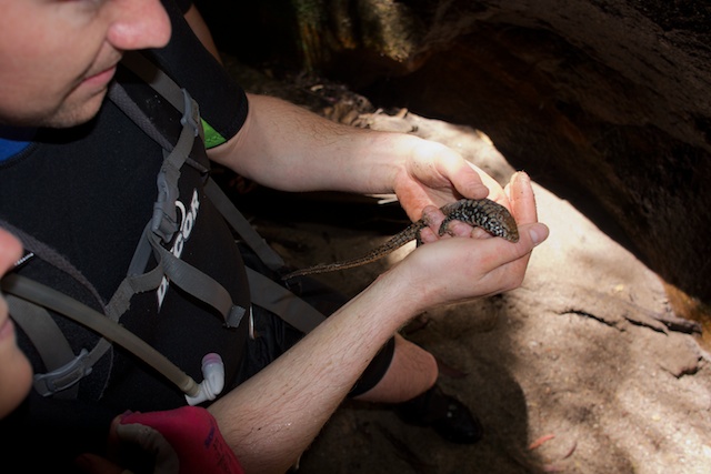
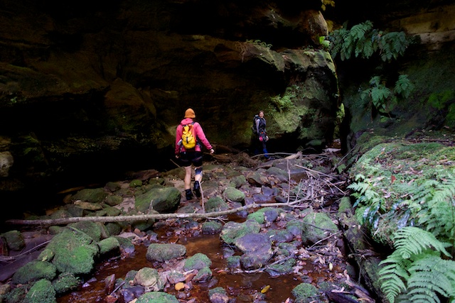
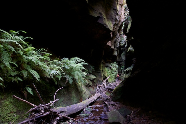
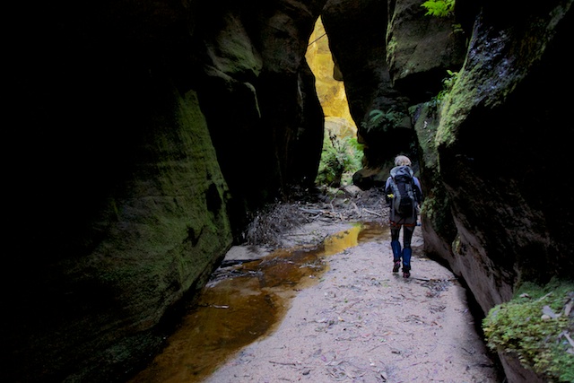
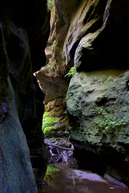
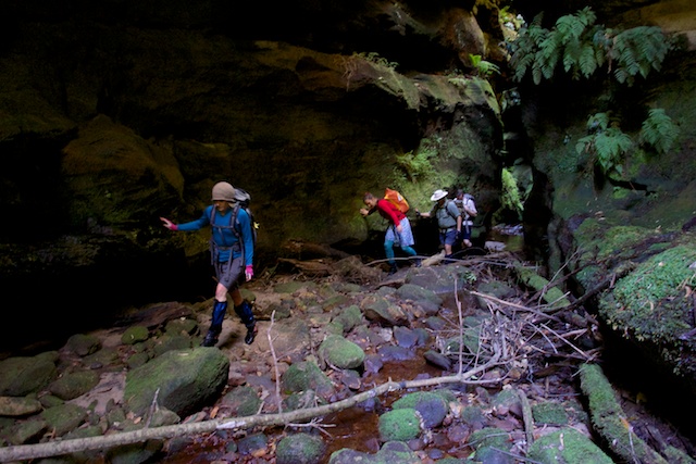
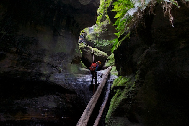
A short way downstream we reached the canyon. We soon completed the three abseils of the canyon and entered the magnificent lower canyon corridor. Back in 1976 and a few years later we had had to do 4 abseils. The last of these is now quite easy to climb down due to log movement. On the 1976 trip, we had carried weekend packs and had followed the creek downstream to Rocky Creek and then camped nearby and on the second day explored another canyon to the east. On another early trip we found a dead koala that must have fallen into the canyon. This time we found a very cold and sluggish brown snake and a skink.
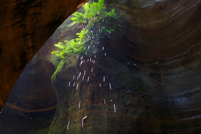
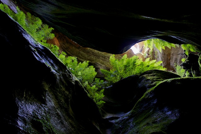
The canyon here is very impressive indeed. Deep and narrow. But easy to negotiate. No swims – just easy walking down a sandy bed.
The canyon ends in a series of large overhangs. A good place for lunch. We stopped in the sunniest spot.
Then it was back up the canyon and out via the usual pass in the western branch. I’m not sure who found this handy pass. Perhaps canyoners from SPAN club? Anyway, it was found a year or two after the canyon was first visited. On the trip where had found the dead koala, we had climbed out the west branch by forcing a way straight up the waterfall at its start. I can remember placing a very long branch up the waterfall and then Nic Bendeli prussiking up it and then throwing a rope down to us so we could pull ourselves up. We then forced our way up a spectacular pass up the upper cliff line. The usual exit now goes right past this pass, under the cliffs and then up the creek of the west branch till you regain the fire trail.
It was then back along the road to the car at the Galah Mountain road and then back to camp at Barcoo Swamp. We were joined by Mandy, who was coming out canyoning with us on Sunday and also Rik and Rob returned a little after dark from their epic day.
On Sunday, we visited Galah Canyon. This is a shorter day, but it is a more technical canyon. A lot of the abseils have tricky starts and you do need to be careful.
Galah Canyon too has a tricky pass out. The usual pass out is via a ramp about 150 m upstream in rocky creek. On the way up this you reach a very tricky and exposed section. A bit of old rope hanging down makes it much easier. On my first visit to the canyon, we used a very steep chimney to climb out. This is about half way along to the ramp pass. On another early trip, we used a pass about 50 m downstream of the canyon. None of these passes are easy.
More photos can be found on my website. Surefire Canyon on this page and followed by this one and Galah Canyon on this page.


