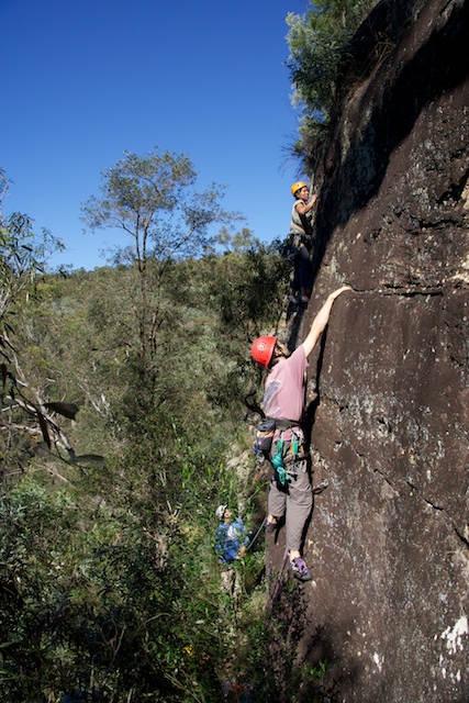
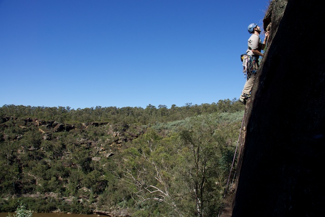
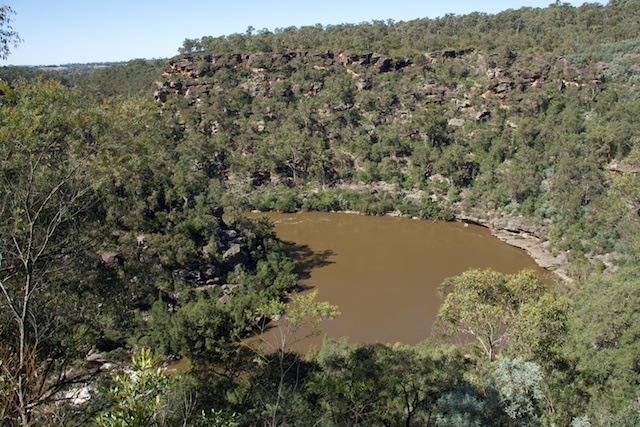
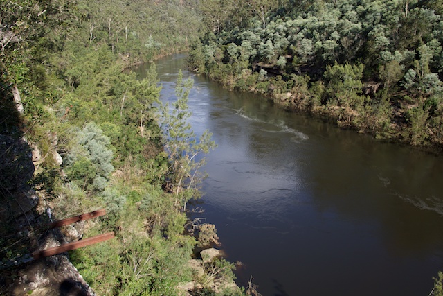
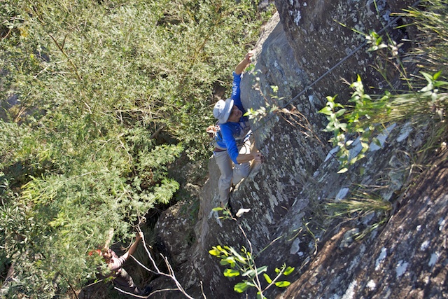
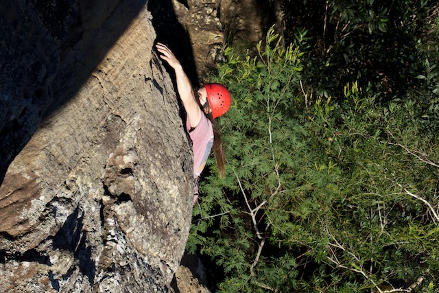
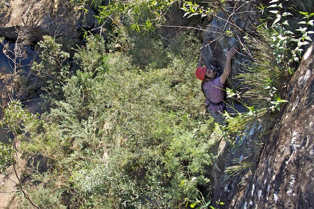
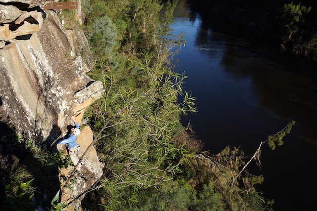
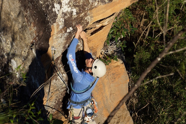
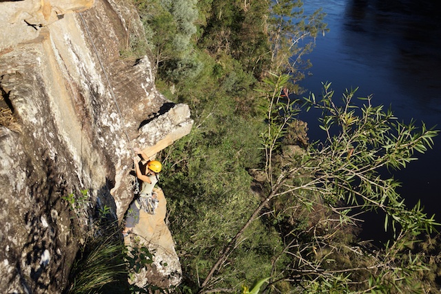
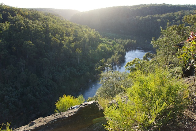
I have climbed at Nortons Basin before and found it a reasonable crag. Two of the cliffs are set high above the Nepean River with Nortons Basin – a large pool below. On Anzac Day – I joined Stu, Enmoore, Martin, Steffy and Albert for a day of climbing.
The weather was quite nice – but the crag was not so good. The area has become a rubbish dump. A huge number of stolen cars have been dumped off the cliffs, there is a lot of other rubbish around – paper and plastic bags, plastic bottles, broken glass bottles…. You get the picture. Its a shame! It is a really great location.
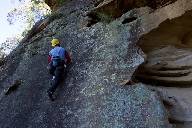
The climbs were mixed. There has not been much traffic and many of the climbs were dirty and dusty making them hard for their grades. Also – a lot of the bolts are now old and look a bit suspect.
On our visit, we could not cross the river, to what may be the best of the three cliffs. We started by bashing around to the base of the cliffs on the West Side Crag. Its easier to get to this cliff via a set of chains, but Martin and myself had forgotten the way. The climbs here start from a dodgy ledge.
After lunch, we headed to the lower Riverside Crag. Martin had been there before, but the track was buried under a huge mass of dense lantana. We eventually found a clear higher way, that led to the gauging station – and we knew the climbs were below.
Despite the rubbish – there was a lot of wildlife around. We saw, what look like a huge eel in the Warragamba River. It must have been 2 m long! And several eagles circled overhead.
Nortons Basin is described in the Sydney Rock Climbing Club Online Guide
More photos on my website here.



The eagle is an immature White-breasted Sea-eagle. There is a pair breeding downstream near Penrith. And the large eel will be a female Long-finned Eel
Very nice place for climbing, but what is the kind of rock ?
Sandstone
Looking at the topo map, I think the Eastside Crag does not need to be approached via that stinky carpark at the end of Norton B Road and listening to the dirt motorbikes bashing that firetrail until it becomes like moonscape (I’m sure the owners of those bikes are also responsible for the scene at the carpark) and finally crossing the river.
The alternative, easy approach can be found on the map from the end of the road running SW from Mulgoa along water pipes, for ~2.5km. From the road end, there is a well visible trail/path going West, trough a little knoll at 512804 and straight down to E banks of Norton Basin. But my map shows the road along the pipes locked at its start in Mulgoa. Perhaps it’s not open to public, being the pipe maintenance road. However still, the little knoll at 512804 can be accessed from the North (end of Donohoes Avenue, again a clear trail/path is visible on the satellite) if some private fence does not cut the way off.
The alternative approach to this crag (and the basin for swim) seems much nicer, even if the access needs to be negotiated with private owner. Have you been there that way? Do you think it’s possible?