M7 Ride - Profiles
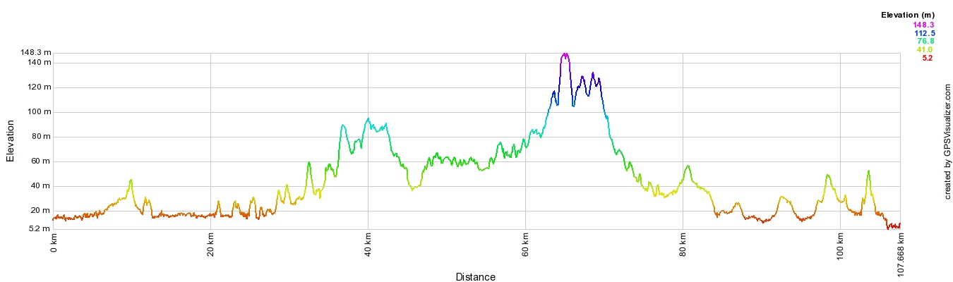
Distance based profile. The high point is Sugarloaf Ridge picnic area
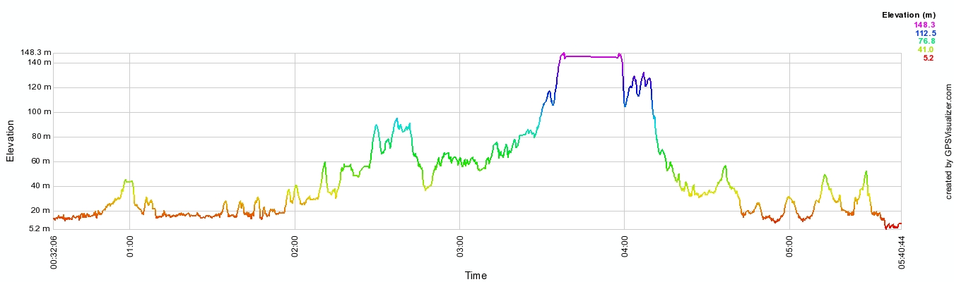
Time based profile - you can see where I had lunch
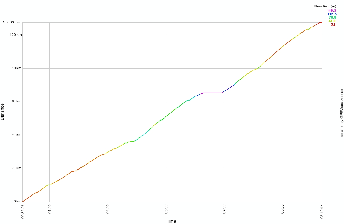
A distance - time graph for the ride
GPS readings -
Distance - 110 km
Moving average - 24.1 km/hr
Total ascent - 470 m
Return to main page