
Bob and myself finally completed this nice walk. It had been on our list to do for a fair while – and we had set off with it in mind – but thought it wise on those occasions to do an alternative trip because of bad weather.
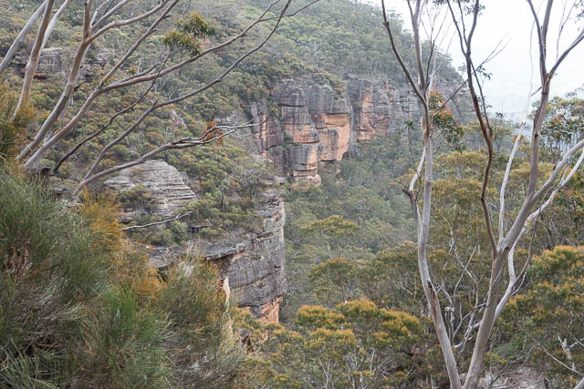
The walk is around the cliff line of the Radiata Plateau. There is currently a conservation campaign to prevent development of this plateau and have it renamed after a local pioneering conservation – as Elphinstone Plateau. The plateau does have quite a few radiate pines growing on it, but there are some rare plants – such as the Pherosphaera fitzgeraldii — the Dwarf Mountain Pine, which is found in some of the gullies off the side.
The walk Bob and I did can be found on Alan Wells’ Website. His notes were quite useful for us to find the passes.
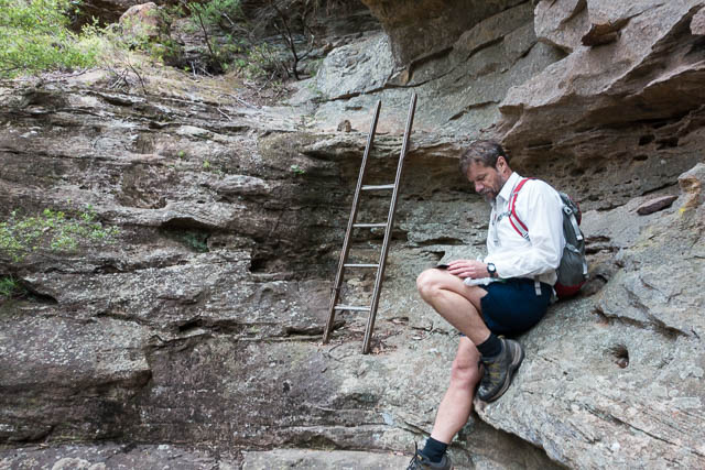
We started out along the fire road and soon found our way down a rough track to Blacks Ladders. These are a set of spikes in a very short section of cliff. Lower down is a short, rickety looking wooden ladder that we did not need to use. Nearby is a logbook.
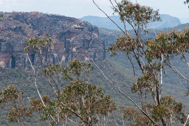
Then we walked under the cliffs heading towards a detached rock on the point overlooking Megalong Valley. Most of this walking was easy – following open ledges, but occasionally scrubby – where you need to cross gullies. There was a faint pad to follow in places, but no sign of footprints by previous parties.
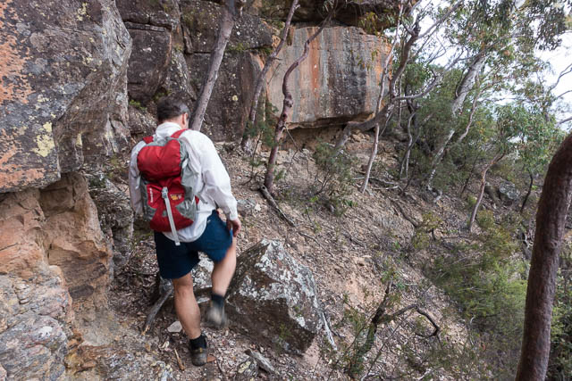
We also passed rock climbing areas – marked sometimes by painted letters and in other places by sets of bolts going up the cliffs. At places there did seem to be ways back up onto the tops.
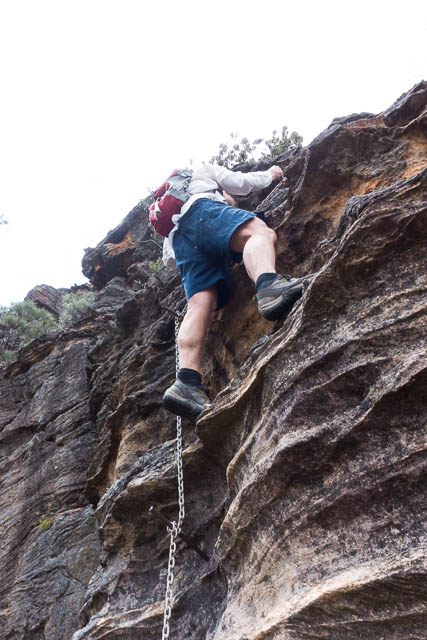
Closer to the point and there pass, we had to watch which level we were on. It was easy to follow a ledge and have it run out. Then you had to back track a bit and climb to a lower ledge. At the point, the route is to go right around it and find a gully on the far side, up that to the highest point – then along a narrow ledge on the approach side. Then up a short corner to find the chain. Here there are spikes and a short section of chain going up the cliff for about 5 metres. After that is a bit of easy scrambling and you are on top.
We walked along and found a shady lookout for lunch. After that is was an easy walk along a track, and then a fire road back to the car. Part way along the road, we followed a short detour to the right – to a lookout.
More photos of the walk are on my website here.
Here is a map of our trip showing the GPS log. You can see that we overshot a bit at the start,finding the track to Blacks Ladders. Not long after we climbed Esgate Pass the batteries on the GPS ran out. –
[map style=”width: auto; height:400px; margin:20px 0px 20px 0px; border: 1px solid black;” maptype=”SATELLITE” gpx=”http://www.david-noble.net/blog/wp-content/uploads/20141126.gpx”]
Completed this about 6 months ago…. However, it was sketchy in places.
From your comment ‘we had to watch which level we were on. It was easy to follow a ledge and have it run out.’ …. some tracks to the ledges were quite distinct and then it would run out!! How did you determine which level to go on? Any hints/more detailed directions from your walk?
I think we just used trial and error. And things may take longer than you expect.
Yeah ok. That’s pretty much what we did and it worked out. The tracks you took weren’t super distinct were they?
Have you explored the ‘falls’ near Blacks Ladder? Does it link it up to one of your other walks at all?
We realised that. On these types of walks, you need to allow plenty of extra time. They aren’t as straightforward as shorter/more ‘basic’ walks.