
Wendy had two days off and wanted to do a walk. After some discussion, we decided that a walk in the Lower Blue Mountains from Faulconbridge to Glenbrook would be good.
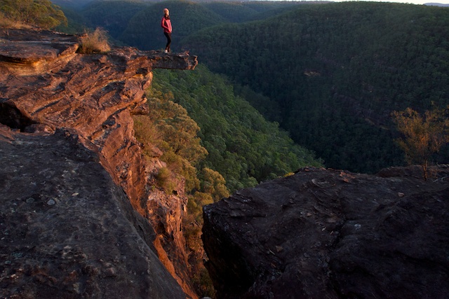
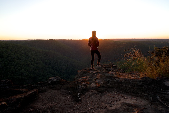
Wendy admiring the view. Dawn – Lost World Lookout
I met Wendy at Springwood, and after a coffee break, we headed up to Faulconbridge and parked near the track head. We then set off down the Victory Track which leads into Sassafras Gully.
The track is in quite good order. In fact a bit later we walked by two National Parks track workers clearing fallen trees and overhanging vegetation from the track.
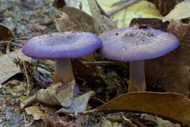
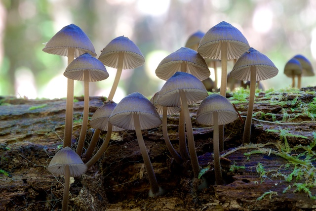
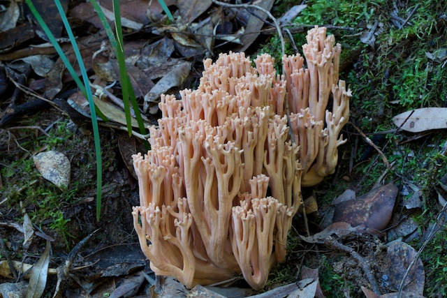
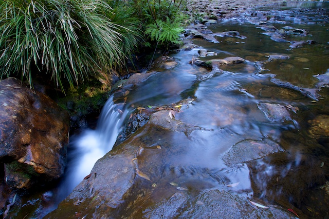
Clarinda Falls was very low – barely a trickle. So lower down the valley, we did not bother with the side trip up to Numantia Falls. Instead we both found a fair bit of fungi out that we could photograph.
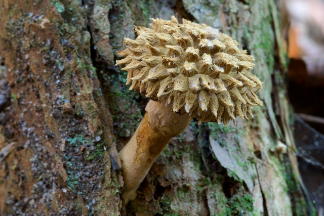
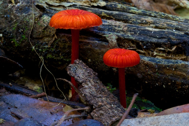
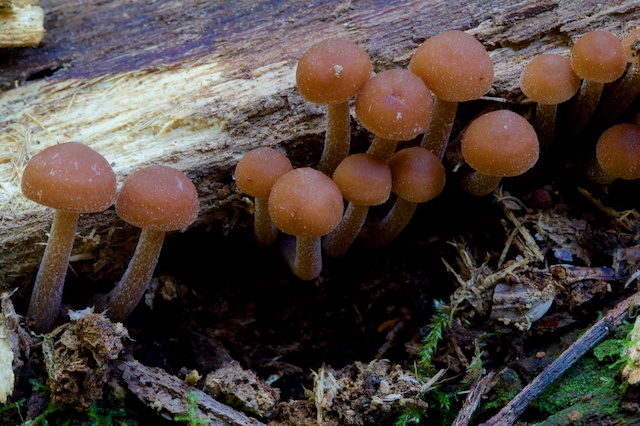
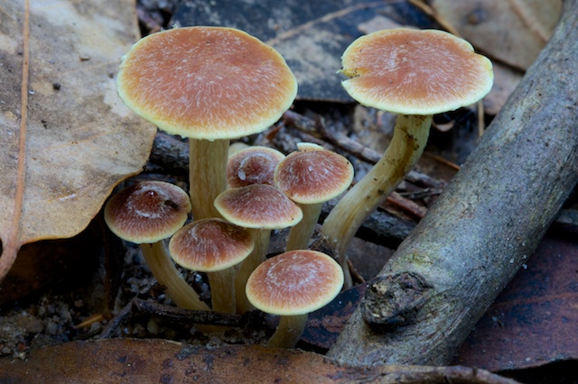
We continued down to the junction of Sassfrass Creek and Glenbrook Creek, with a few fungi photo stops on the way. At this junction there is a big swimming hole and some nice rocky slabs. A good place for lunch.
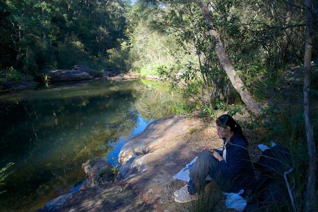
After our break we continued along the track downstream to the Perch Ponds, and then a little further the junction with Western Creek. Here we left the track and climbed down to the creek. We filled up our water containers from Western Creek (it has a pristine catchment area) – and started climbing up to the Lost World Lookout.
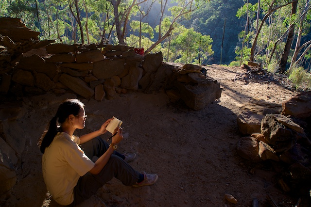
Wendy reads the logbook in the Sharks Head Cave
On the way, we stopped in at the Sharks Head Cave. Its a nice cave – but the weather was very fine and we wanted a high camp further up the ridge. Our route from the cave to the top involved a little rock scrambling here and there to get up small cliffs and one larger cliff just near the cave.
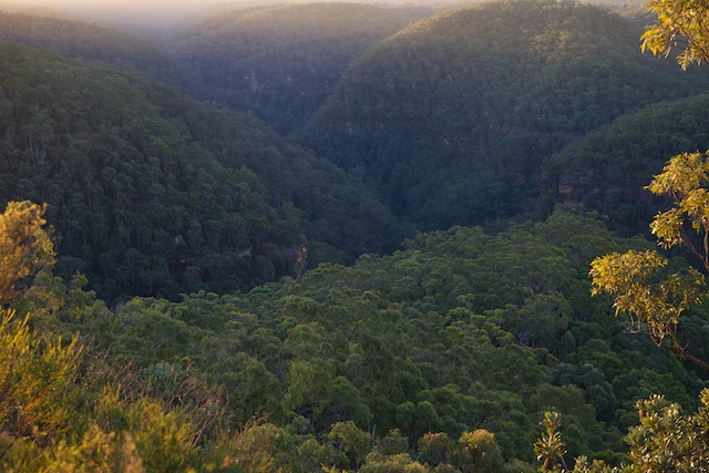
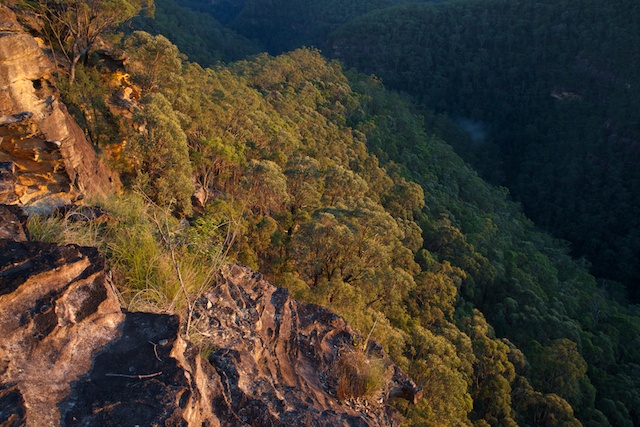
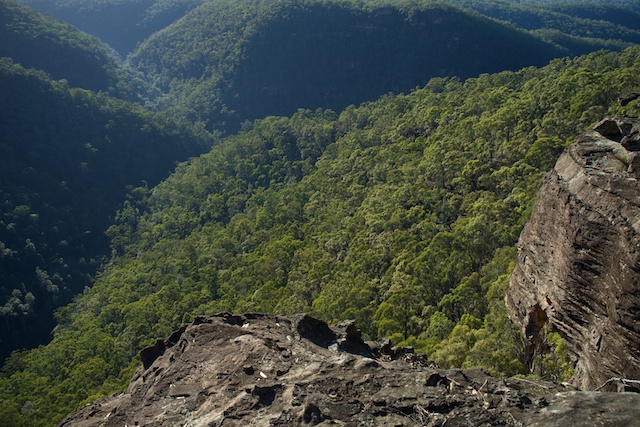
We arrived at the Lost World Lookout just before sunset and set up camp. There are several good campsites here, and quite good views looking up and down the gorge of Glenbrook Creek.
Next morning, we got up for the sunrise, and then had breakfast and packed up.
Our next destination was St Helena, a volcanic neck that is along the ridge and reached via an old fire trail. In the last twenty years of so, the crater has become quite chocked up with weeds. The NPWS have a program in place of bush regeneration – but it would seem a lot more work is needed. It is interesting to look online at some old photos of St Helena. I can remember walking there when I was young, and it was then quite open.
St Helena
From St Helena, we continued walking along the ridge and then turning off on a side track that goes to the Duckhole on Glenbrook Creek. We crossed the creek and started up the track on the far side and found a nice lookout for lunch. From there it was a short walk to Glenbrook Station.
More photographs are online here.
Great pics and narrative. Thanks for sharing Dave 🙂