
This was a walk that had been on my “to do” list for a fair while, but had not gotten around to doing. It turned out to be quite easy and also both spectacular and interesting. Our plan was to drive out along the fire road that leaves the Mountain lagoon Road part way along. I think this is called the North Wheeny Gap Trail. Near the end of this trail is a track that descends to Lagoon Creek, and from there it is a short walk downstream to Wheeny Creek at Wheeny Gap.
On the trip were Bob and Doug. On the way up, Doug recalled a weekend trip he and Bob had done in 1981, where the had walked in to Wheeny Gap from a fire road to the south. Then they had gone up via the Green Scrub to Mountain Lagoon, then to the Colo River via Conder Trig and out via Bob Turners Track. Then a hitch out. Bob also recalled a weekend trip where he had entered Wheeny Creek from high up and then walked all the way downstream to the picnic area (or nearby) and then hitched out. I had not been in this area before, except for the picnic area.
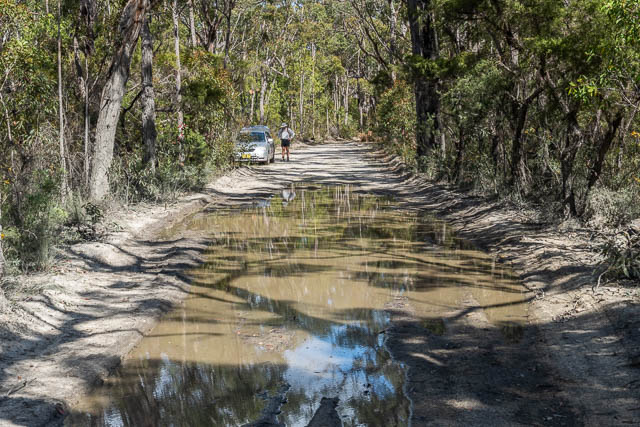
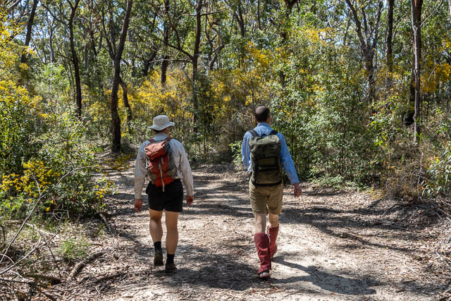
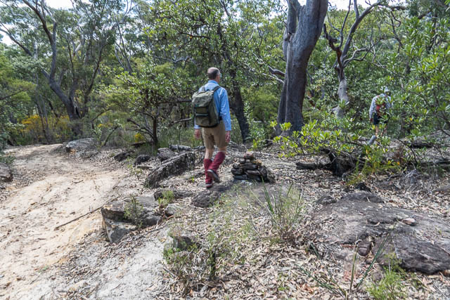
We found the fire trail quite easily. It leaves via a gap between farms on the Mountain Lagoon Road. Bob drove out a few kilometres and then parked at a slough. It looked better to walk from here rather than risk the car being bogged.
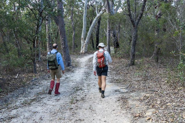
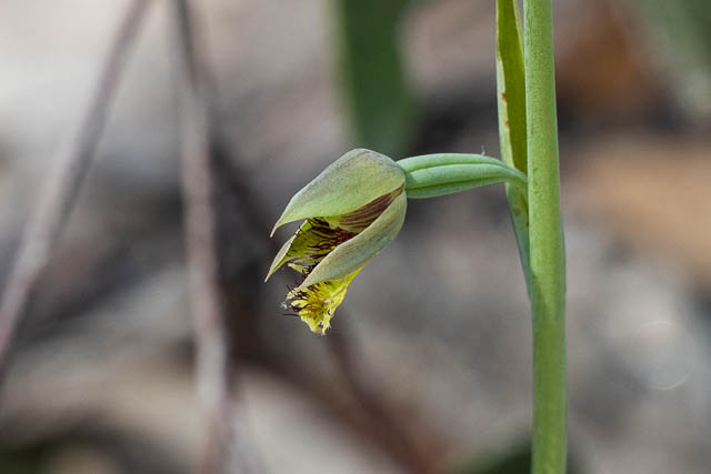
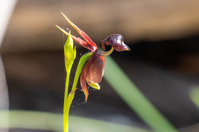
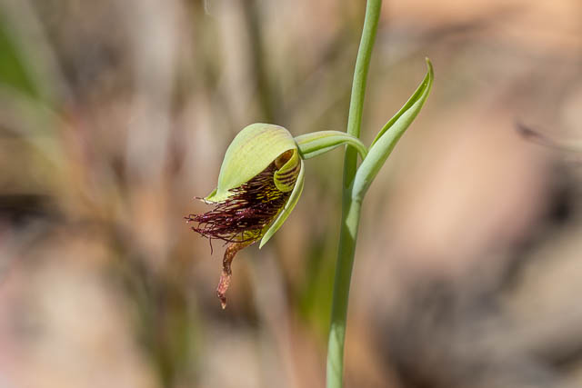
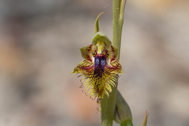
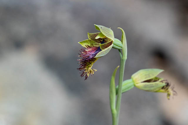
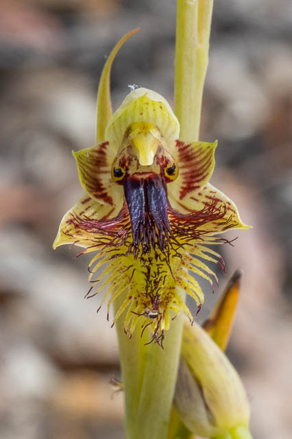
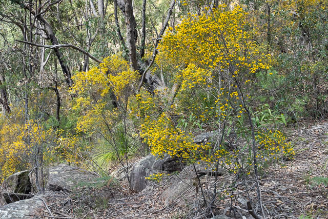
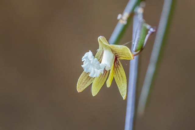
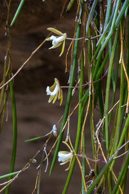
It was a pleasant walk out. I was on the lookout for birds and flowers. It was a bit windy, so the birds were hard to spot, but there were some nice flowers out, including a number of orchids. Here are some of the orchids –
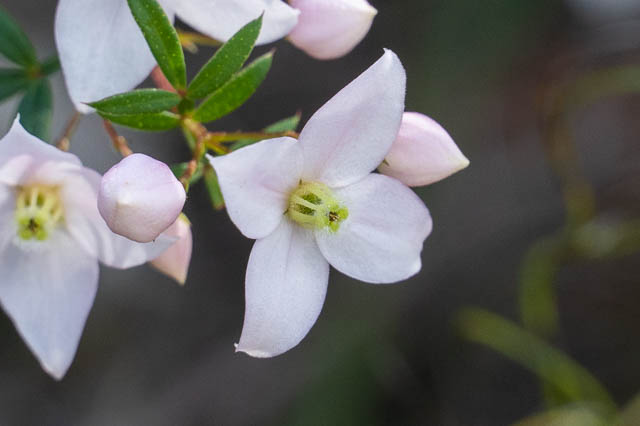
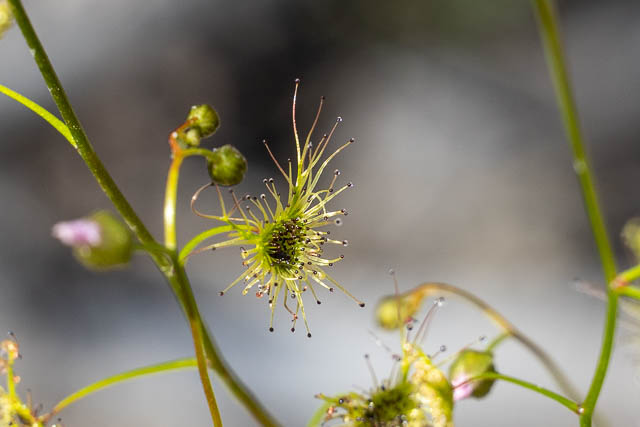
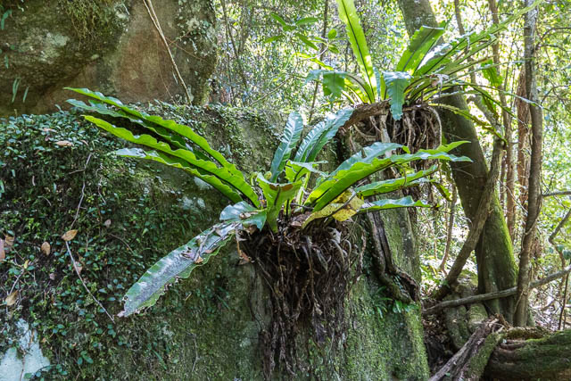
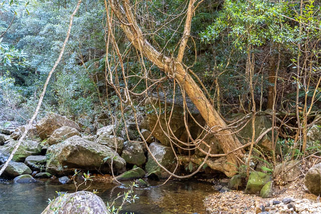
And some of the other wild flowers and plants –
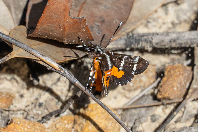
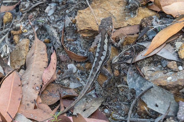
And a few animals –
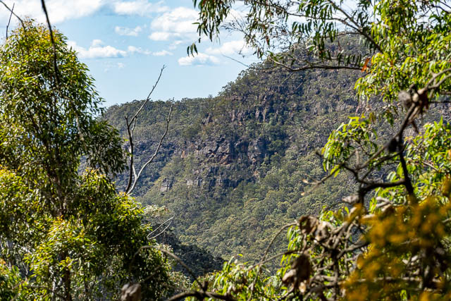
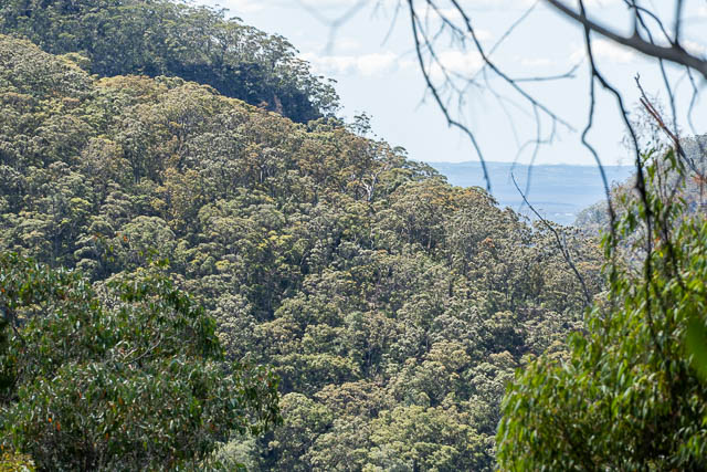
We soon reached the start of the track down to the creek. It was a little before the end of the road and marked with a large cairn.
A short way down we could get filtered views of Wheeny Gap and also the Cumberland Plain.
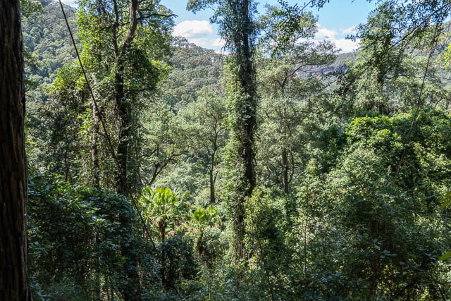
The track was steep but quite easy to follow. Lower down we entered a section of rainforest.
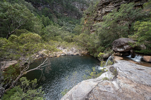
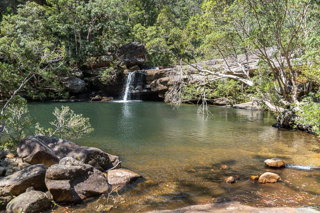
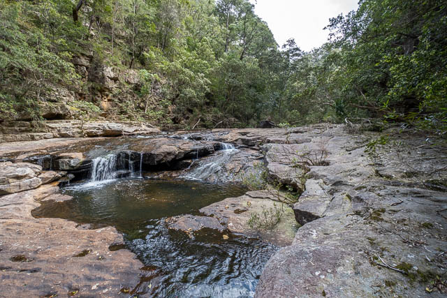
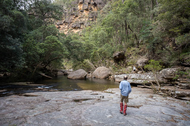
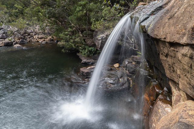
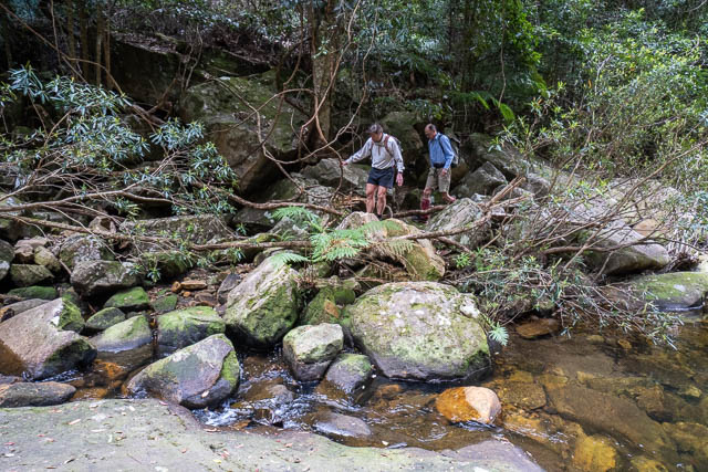
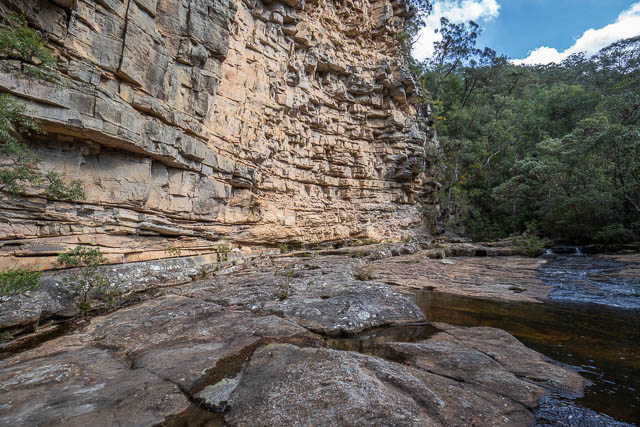
At Lagoon Creek, we made our way downstream following a rough track. We soon arrived at an interesting feature. It was a long rock slab, flanked by a bluff on the true right. It ended with a small waterfall and a pool.
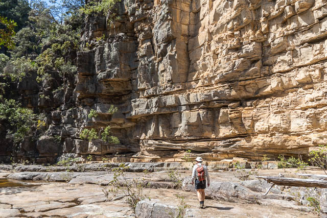
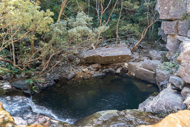
These are all features of the Kurrajong Fault. Bob found a way down on the trie right – but it looked a bit slippery, so Doug and myself went down easily on the left.
The pool would be great for swimming, but perhaps in warmer weather. We continued downstream.
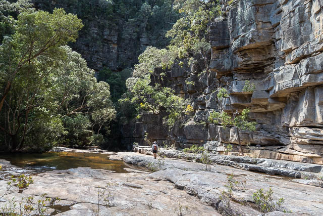
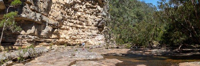
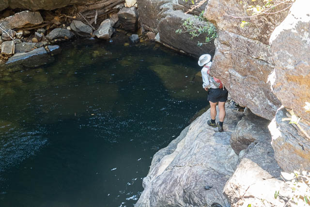
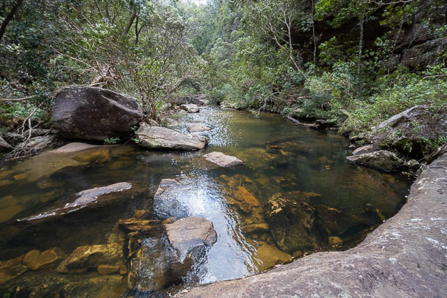
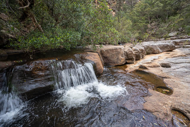
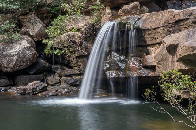
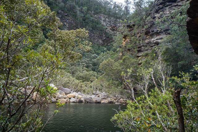
We soon reached the junction with the larger Wheeny Creek. Here too is a waterfall and a large pool. And again – these indicate the Kurrajong Fault.
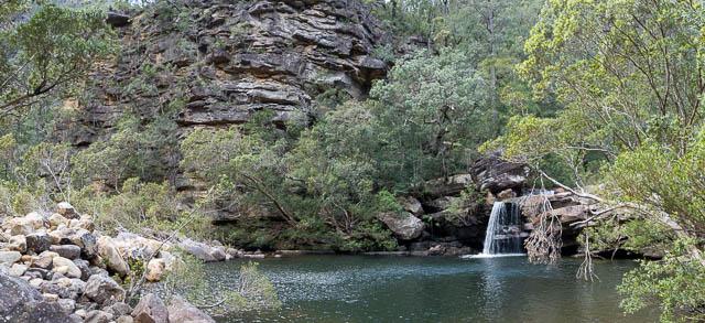
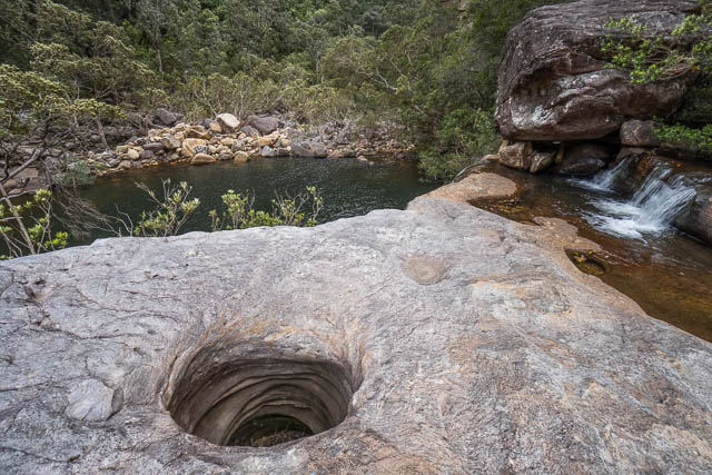
We climbed up above the waterfall, and found ourselves on another large rock slab.
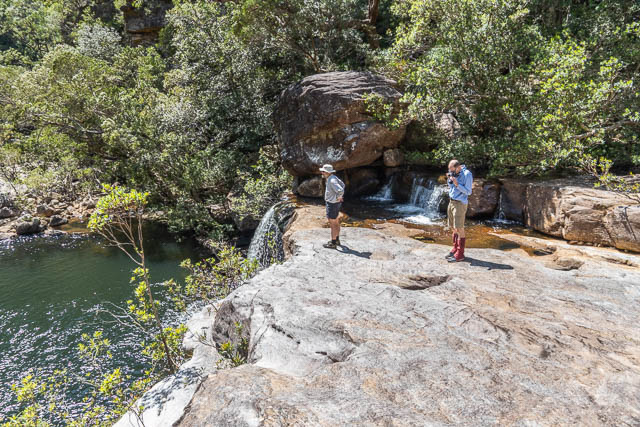
We walked upstream several hundred metres.
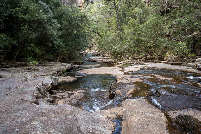
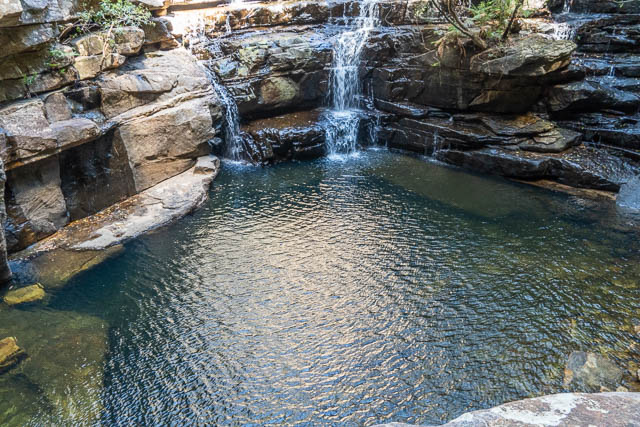
It had become very windy, so we headed downstream again, and had lunch below the bluff at the waterfall. It was pleasant out of the wind and in the Sun.
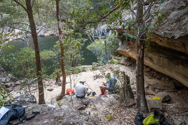
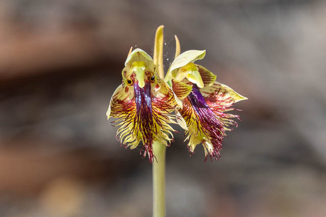
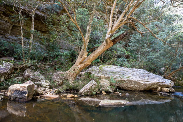
Above us, I noticed some nice rock orchids.
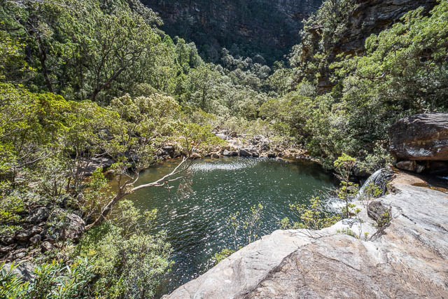
After lunch, I tried to get some photos of the waterfall.
This is an interesting area – well worth a visit.
We then returned, back the same way we had come – up Lagoon Creek, past the pool and waterfall and then up to the track back to the fire road.
This was an excellent walk.
Is this track suitable without a rope? Looks like a great remote swim spot to explore
Yes – a relatively easy descent to the creek then downstream to great swimming spots. But could be popular with the locals in summer.
Looks like a lovely walk. Would there be any space to pitch a small tent down there?
I did not see any large spots, but there would be some small spots where you could pitch a tent or two.
Hi Dave, do you know how far is it from wheeny gap to the wheeny creek camp ground along the creek ?
Thanks
Hansi
If you look at a topographic map you can see the distance – it looks to me about 12 km
Hi David. Wonderful post and photos How far along the fire trail can you safely drive a 2wd car? From Mountain Lagoon Road itself (the furtherest we would have to walk if the fire trail is too boggy) to Wheeny Gap return how many kms return would that be? 10km to 12kms? Thank you
I don’t know the current state of the road. But either way, if you get to nasty section. like we had, its not too far to walk to the end.
Hi David. Those photos broight back wonderful memories. I first went there sround 1979-1980. The firetrails generally don’t get boggy due to being through mainly sandstone terrain. The trails are maintained enough for a firetruck to get through, so you can’t expect too much. There used to be a rather large eel in the moon pool. It was old when l first went there and was still there 10 years later. Is there still a resident eel that you know of?