
I got up very early for this walk. By very early I do mean early! A train to Bondi Junction and then a short walk down to Bronte to arrive before the sunrise.
It was a beautiful morning. I was surprised by the number of people that were out and about when I got down to Bronte. Cyclists on training rides, swimmers in the surf and rock pool, many many joggers, groups doing set exercises in the picnic area – on a Wednesday morning.
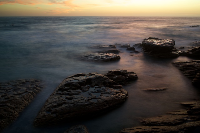
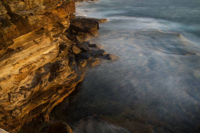
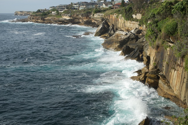
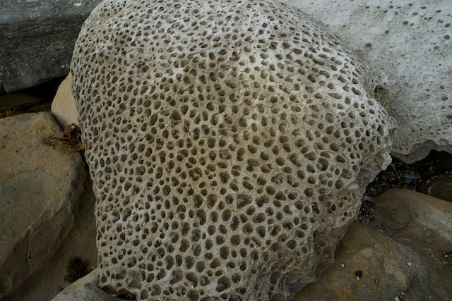
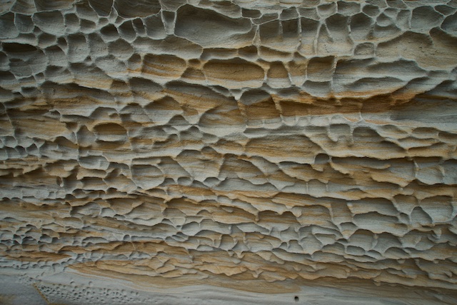
I headed to the rock pool and took a few photos – but there were too many people about that could walk or swim through long exposure photos. So I headed off south along the Coastal Walking Track – and found some good vantage points to watch the sunrise from the top of the cliffs.
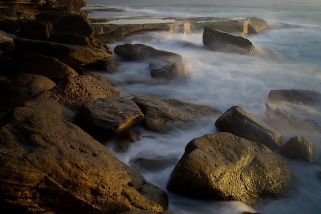
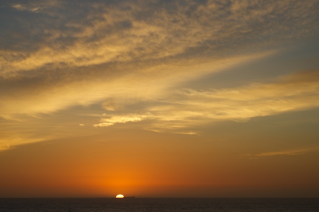
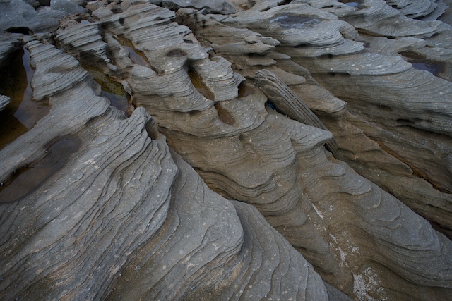
It was nice to watch the sun pop up and for its rays to hit the cliffs. Near Waverley Cemetery, there is a rough trail down to a spot used by fishermen. This was a good place to set up the tripod.
Then, I continued south to Clovelly and eventually Coogee. Lots of people were still out – walking their pets, jogging etc. I only saw one other photographer.

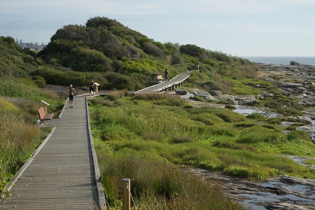
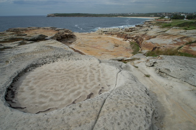
I had never walked south of Coogee, so set of past a few rock pools – past cliffs and swamps, on good paths and boardwalks. Nice walking with great views. The the path seemed to end. I had the Coastal Walking App on my phone – so checked the route here – you have to go up a road, along a short way, then back down another road, then through a narrow gap between houses to find a set of stairs down to the rock platform. None of this route was signposted. 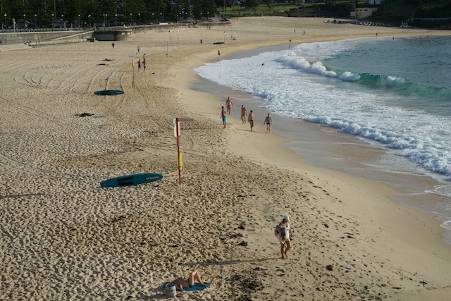
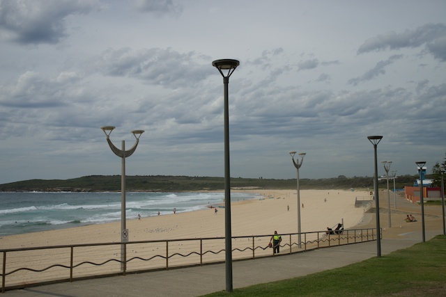
I continued, and it was not too long before I arrived at Maroubra. I stopped in the shopping precinct for breakfast/brunch and then continued along to the southern surf club. This in another section where the route deviates away from the coast. You have to go uphill to Broome St, then along that and down Manwarring Street to pick up a walk/cycle path to Pioneers Park.
This way cuts off the interesting looking headland that contains Malabar Headland National Park. Perhaps this longer but a lot more interesting route is cut off by rifle ranges?
Next I went to Malabar Beach and Long Bay. The route now goes through a series of golf courses. Easy walking – but slow, with no defined route and the constant need to look around at the golfers to see which way they are hitting their balls.
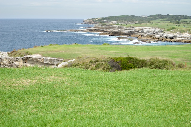
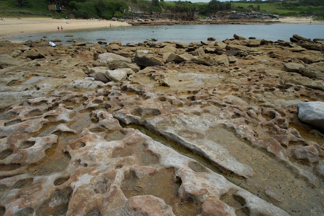
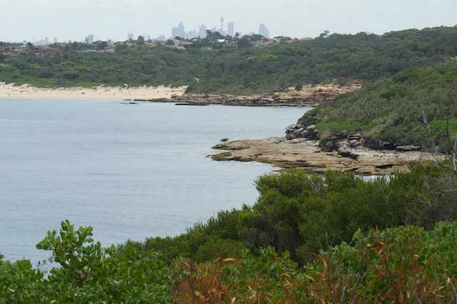
There is a short respite from the golf courses when you cross Little Bay – a pleasant cove used by swimmers.
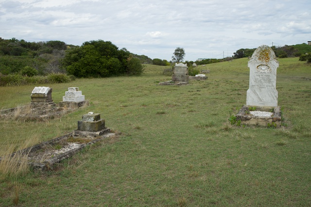
Then more gold courses, till you follow a road through to an old graveyard. Then I went past the Westpac helicopter base and along another trail back to the cliff tops and from there, a short way to Cape Banks.
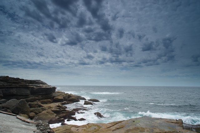
This is a really nice headland with great views of Botany Bay and Kurnell, and I stopped for a rest and more photos.
From there is was not too far to La Perouse, past the interesting Henry Head, with its old fortifications and Congwong Bay. I think I arrived at La Perouse around 2 pm. Then a short wait for a bus back to the city.
More photos of the walk are on my website beginning at this page