
The last part of my walk was the easiest. Just about all on track walking.
I crossed the Mersey River just above Fergusson Falls. I was hoping to get some photos of the waterfalls and gorges along the river – which are very attractive. However, the lighting was now very poor for this. Bright sunlight. The worst lighting for waterfall shots!
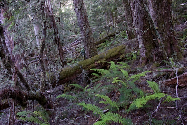
Open rainforest to the Mersey River
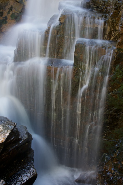
Fergusson Falls were still largely in the shade and so was the bottom bit of D’Alton Falls – so I did manage to get a few shots. Hartnett Falls were mainly in the sun and a much harder proposition.
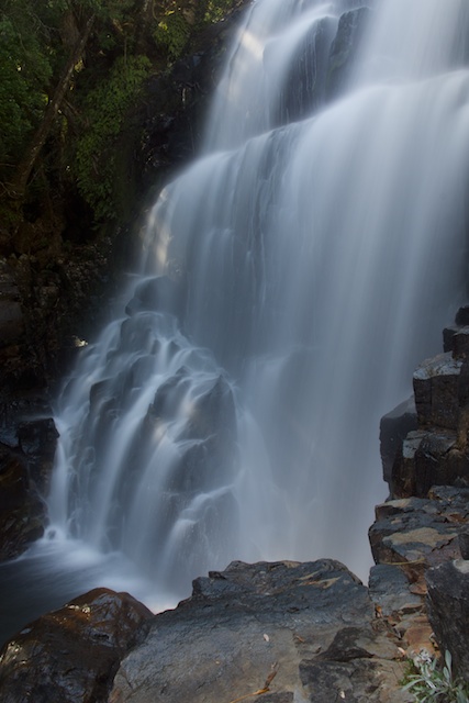
Fergusson Falls
Fergusson Falls
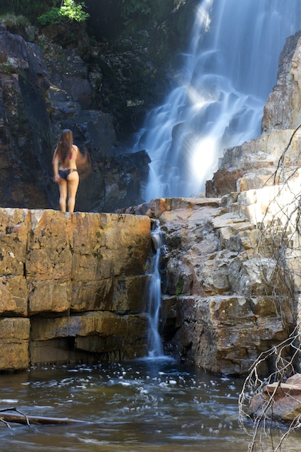
D’Alton Falls

Hartnett Falls
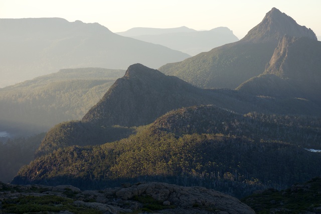
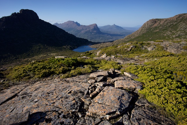
The next part of my walk was along the Overland Track to Du Cane gap and then down to Windy Ridge and along to the turn off to Pine Valley. I camped that night on the way to Pine Valley – in a nice campsite just off the track just before the suspension bridge that leads to the Forest Track to Pine Valley. Years ago – there were two tracks to Pine Valley – the Forest Track and the Valley Track. The Forest Track was the better route in bad weather (so most of the time) and the Valley Track offered the better views. Now, with rationalisation, there is only one track – and that is the well maintained Forest Track. But you can still enjoy some of the views of the Valley Track at its start (near my campsite at the Suspension Bridge) and from just south of the helipad near Pine Valley Hut. Not many people seem to realise that there are excellent views, particularly in the early evening, of the Geryon and Acropolis, from near Pine Valley Hut. All you need to do is go through the bog for 50 metres south of the helipad and look up.
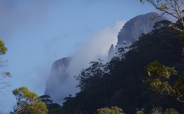
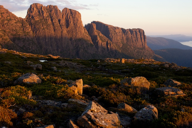
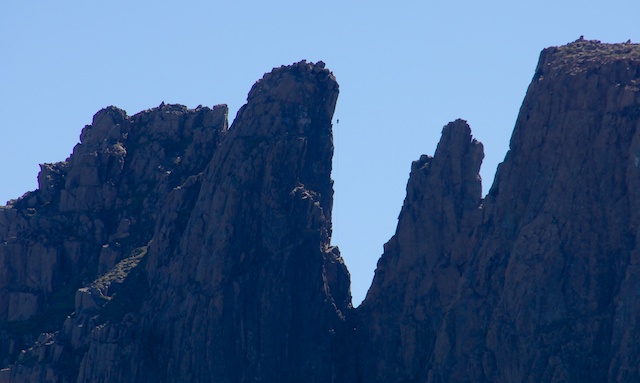
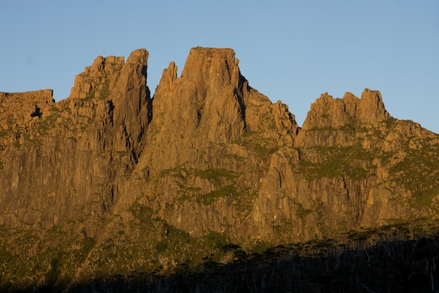
The Geryon and Acropolis from the south end of Pine Valley
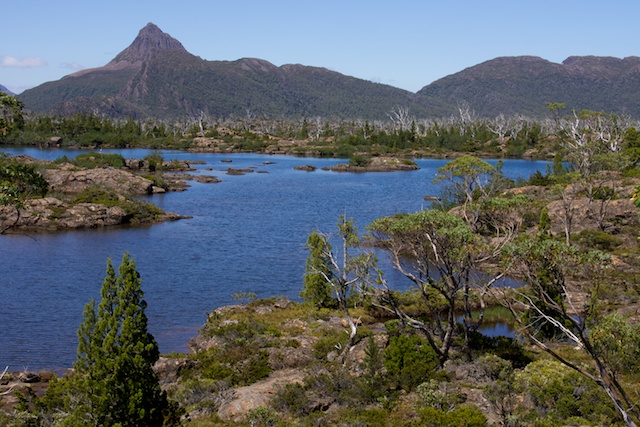
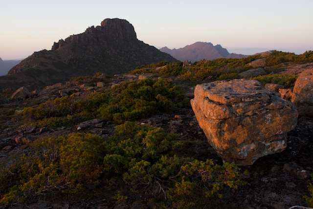
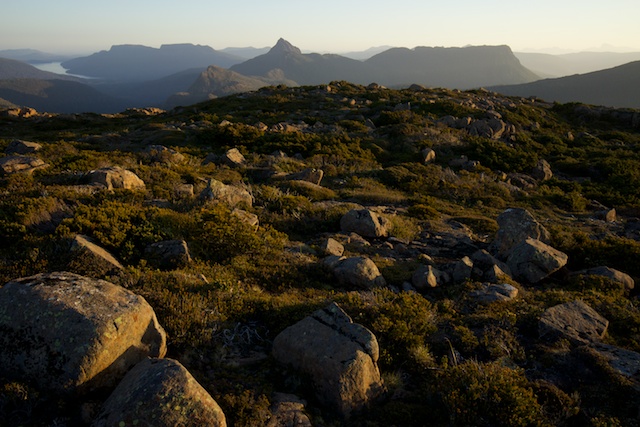
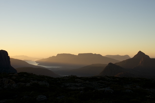
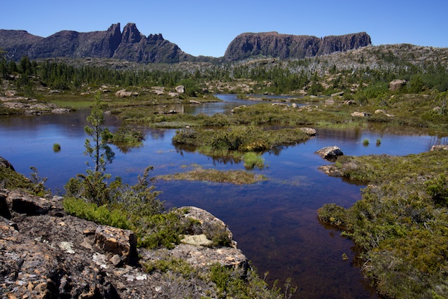
The next day I continued up through Pine Valley to the hut and then up the Labyrinth Track, to the Labyrinth, through it and up onto the high tops of the Du Cane Range. It was another very hot day – so on the way I stopped for some swims – in small tarns. I camped on the tops just above Lake Helios. I had excellent views of the nearby peaks of the Du Cane Range – Mt Eros, Mt Hyperion, The Geryon and Acropolis, Mt Gould, the Guardians, Parthenon and Minataur, and the western peaks – Walled Mountain and Macs Mountain. In the distance was Mt Olympus and Frenchmans Cap. In the other direction was Perrins Bluff, Mt Ossa and Pelion East. Fantastic!

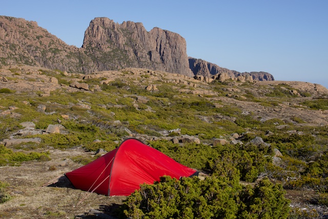
I had lazy afternoon and then a very nice dusk that allowed for some good photography.
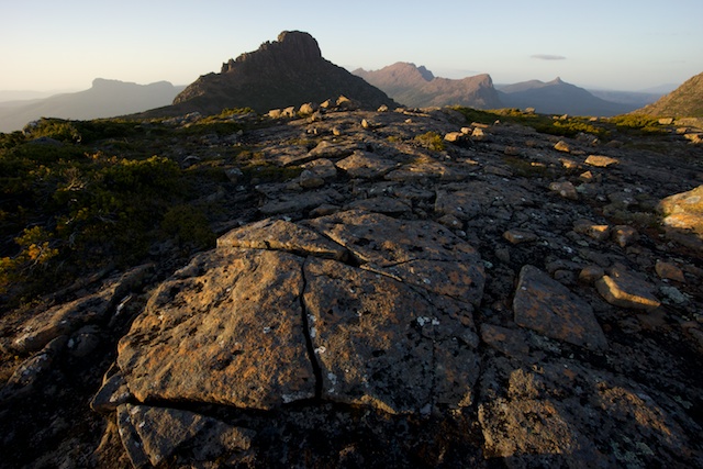
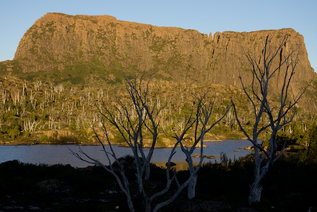
Morning was not too bad – with some nice light on Mt Gould.
After breakfast, I packed up and started back down to the Labyrinth. On the way I met three climbers heading up for a Geryon Traverse. Later I was able to watch them abseiling off the Geryon North Peak.
Climber abseiling off the North Peak of the Geryon
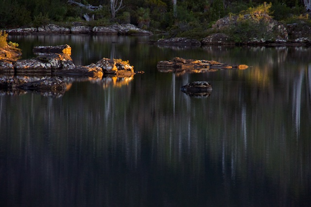
I was back at the Labyrinth for morning tea. I set up the tent near Lake Elysia and then looked around for a shady place to rest. The trouble was the shady places were also where their were lots of small black ants. These are often a major problem for bushwalkers in the Labyrinth on warm summer days. Refuge from them is only possible by wading out to small islands in the lakes. This was what I had to do. I found a nice rock to sit on that was relatively ant free. There was also a breeze coming off the lake which made up somewhat for the lake of shade. The lake itself was great for swimming – very warm water.

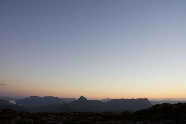
Another lazy afternoon. The busy time was the “Golden Hour” – just before sunset – when I wandered around with my camera trying to get some good photos. You really needed to be in several places at the one time – the lighting was very transient.
Dawn was pleasant but not great.
After packing up I headed back down to Pine Valley and then along to the Overland Track again and down to Narcissus for lunch. In the afternoon I walked down to Echo Point to camp just outside the hut. Here I met two other groups of walkers. They were very friendly and they shared tales of walking on the Overland Track. Lake St Clair was also very nice for swimming.
We all later had our dinner on the Echo Point jetty – and were fortunate to see at least two platypus swimming nearby.
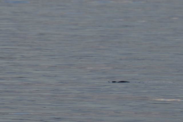
Platypus – Echo Point, Lake St Clair
Next morning I set of fore the final walking part of the trip – down to Cynthia Bay. After a drink and meal at the cafe, I camped the last night at Fergys Paddock and caught the bus to Hobart the next morning.
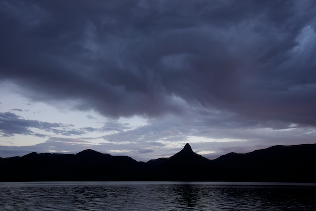
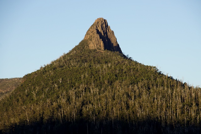
Mt Ida from Echo Point
More photos and panoramas are on my website here.
Lovely pics thanks Dave