Last weekend I did a nice walk from Mt Victoria to Blackheath via the Grose Valley. This is a relatively easy and quite delightful walk that can be done utilising public transport.
I caught a train to Mt Victoria and then walked a short distance back down the Great Western Highway to the turnoff to Victoria Falls. Then it was a 5km fire-trail bash to the lookout and then a descent to Victoria Falls. The lookout offers a fine view, and would be a good place to camp. The falls are also impressive but what I found very pleasant were some small cascades not far downstream. The camera came out and I spent some time photo-pfaffing.
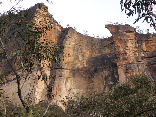
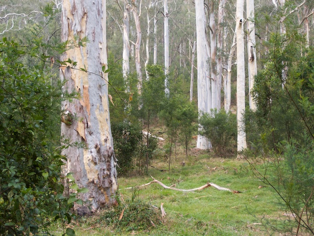
Then it is an easy walk on a good track to the Grose River which you meet at Burra Korrain Flat. I continued down the Grose and stopped for lunch about 1km downstream. Then more easy walking to Little Blue Gum to camp. Here is a preview of what to expect further down the River at the proper Blue Gum Forest. There are plenty of nice Blue Gums and the usual Grose cliffs towering above.
After a pleasant night, I continued the next day to Blue Gum Forest and again the camera came out to try and capture the majesty of the trees. It was a nice fine morning – and pleasant conditions for walking but not necessarily the best light for taking photos.
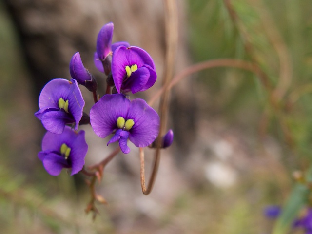
What was charming was the flowering wattle. This was in abundance along Govetts Creek. Glowing gold! I exited the valley via the track to Evans Lookout and had lunch on the viewpoint near where the Horsetrack climbs up through the cliffs. Rather than walk back to Blackheath via Evans Lookout Road, I went along the cliff-top track to Govetts Leap and then along the Braeside Track to the back streets of Blackheath. This was a good route.
A very pleasant weekend in the bush!
More photos can be found on my main website here.


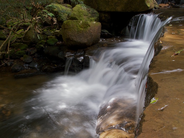




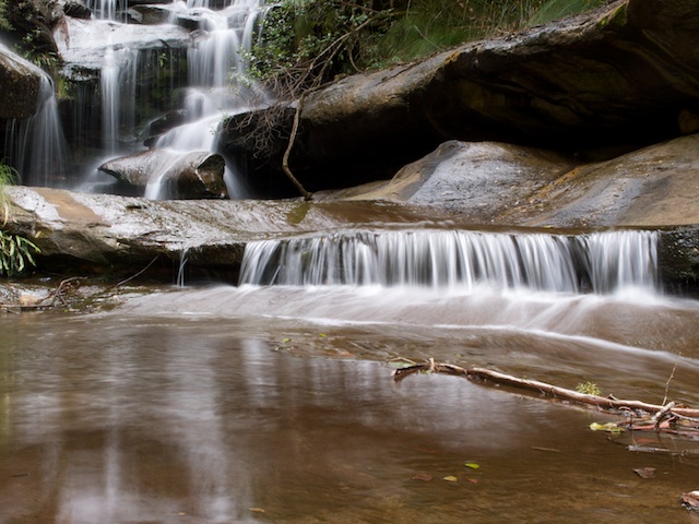

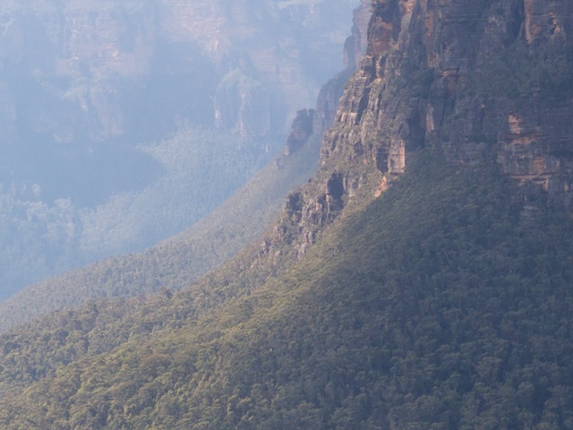
Nice post Dave, great photos, especially loved the first cascade shot.
Hi Dave, planing to do the walk from Vic Falls but all the way to Gross Road in Faulconbridge via the Engineers track. How long do you think I should plan for it? Is the track past Blue Gum Forest passable?
I am not sure what the old track would be like after the fires. We found it very hard to follow on that upper section, but it gets a lot better further downstream – eg near Wentworth Cave. I know people that have done the track – Blue Gum to Richmond in two days (about 12 years ago?) but I think most parties would take longer. I think you shoud allow 4 days or more.
Hi David,
Just found your website. Beautiful photography and easy o read and enthralling commentary.
I hope you can help me with the following queries.
Is there an established path down the length of the Grose River to it’s junction with the Nepean? If so how many days are required from Blue Gum forects to the junction?
Thank you for your assistance with the above.
Guy
There is a track all the way down the Grose River (on the true right side) – called the Engineers Track – but it is now quite overgrown and hard to follow in places. It was built a long time ago for part of a railway survey. I’m not sure how long it would take you to walk down the river – anything from 2 to 4 or 5 days depending on your speed and the river conditions.
Dave
Hi David. Has an work been done on the Engineers Track from Darling Causeway that you know of ? Can you follow any of it to a point ?
I am not sure – but I don’t think any work has been done on the track above Burra Korrain Flat. So it would be pretty overgrown. You may be able to follow parts of it – and perhaps the very first bit is still used by bushwalkers?
We are going to attempt to walk from Springwood Creek up the Grose to the Blue Gum into Blackheath next week (Dec 2016). Will let you know the state of the Engineers track 🙂 Can’t wait!!!
Have a good walk. Note that is is always much easier walking downstream on a river like the Grose – since the scrub at river level (river gums) always point downstream and so are easier to get through. I have followed the track from Wentworth Creek to Faulconbridge Point, and it was a bit scrubby, but OK and certainly better than not following it. See also my post on walking down the river from Blue Gum Forest. On that trip – we had to climb out due to floods, but we had probably done the roughest section of walking according to a friend who knows the river well.
It’s 6 years later, but how did you go?
Most of the trails on the Jamison valley side are either overgrown or blocked by landslides, so looking for more walks to try
Hi David – is the Gross Walk (Engineer’s Track) worth walking from the Blue Gum Forest through to Springwood or largely damaged by weeds/suburbia etc? I got the impression from the comments that it is not a walk you have entertained.
Thanks in advance
See my earlier post – http://david-noble.net/blog/?p=7391