
Bob had been keen on exploring a few of the lesser known passes on Kings Tableland. He devised a trip that sounded reasonable. Drive out Kings Tableland Road, park at the starts of the Lion Head track, then walk along the road for about 2 km then head off into the bus to a headland south of Spring Creek, hopefully descend the pass off the headland, then cross Spring Creek and ascend Holbeachs Descent – a pass onto Lion Head.
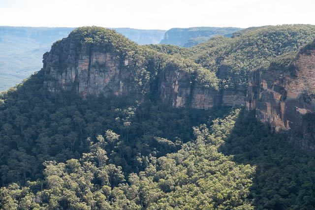
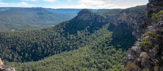
Lion Head from Spring Creek Ridge
The trouble was we had very limited information on the Spring Creek Ridge Pass. The Jamison Project lists the pass and has some information here, but the author did not actually traverse the pass.
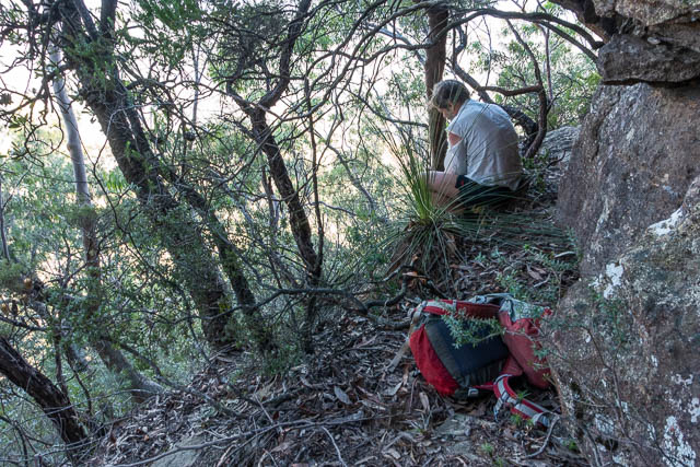
We followed Bob’s plan. Bob and myself walked along the road and instead of turning off along the ridge, walked a short way along the fire trail that goes around Notts Swamp, and then turned off onto the ridge. The ridge was a bit scrubby, but not too bad at first. Further out, near the cliffline there was some thick banksia scrub to negotiate – and it was hard work.
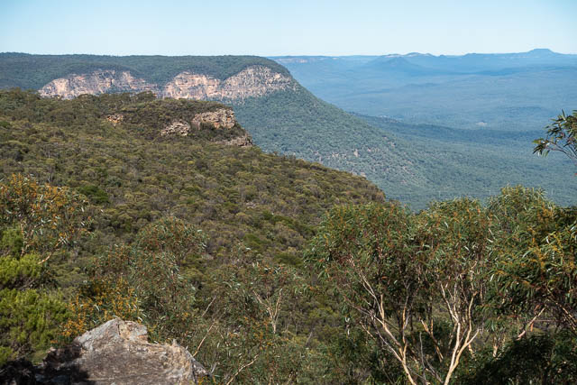
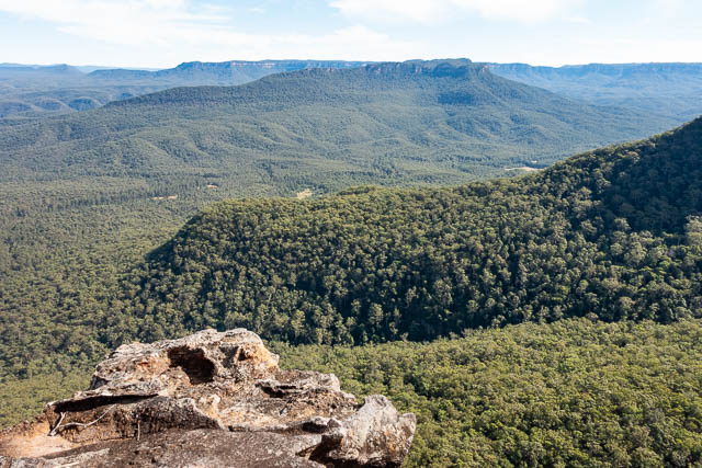
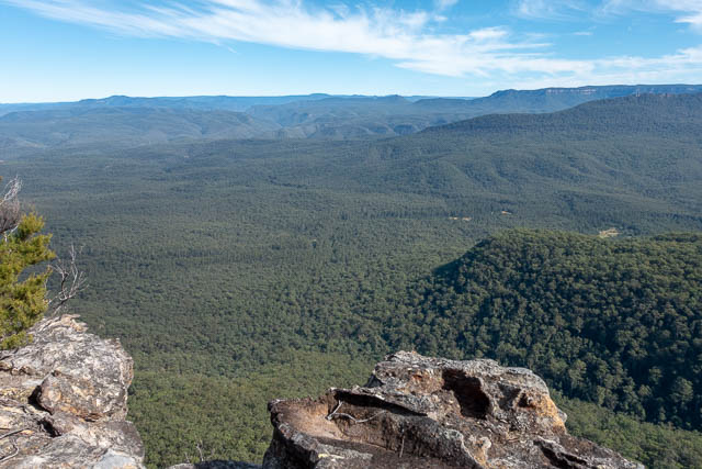
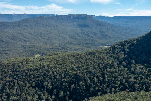
We found a few places that provided good views of the Kedumba Valley and beyond.
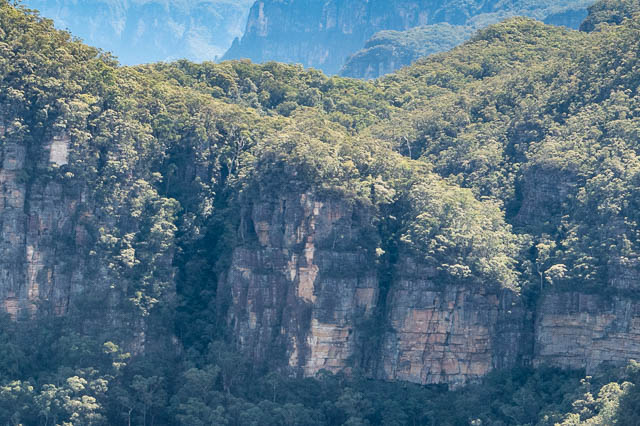
As we reached the point, we dropped into a small gully on our left. We followed it to an impassable waterfall, then travelled back onto the nose. We descended a few short cliffs, and at one point, Bob used a handline to descend a bit more and explore further down. But to us, a pass that did not involve abseiling looked unlikely.
So we climbed back up and found a place to have lunch. We then returned along the ridge, but this time we dropped down early to the Notts Swamp fire trail, and then walked back to Bob’s car.
I have since heard that there actually is a pass near the point that involves nothing more than some scrambling to negotiate it. So perhaps we will return and try it again. Perhaps from below?
Yes, the pass is much easier to locate from below. I was first shown the pass by Frank Bendeich or Peter Blayney on a Catholic Bushwalkers Club trip in early 2000s. As you are ascending the nose of the ridge and reach the final cliffline, go right and around the corner there is a steep walk-up a ramp. Angela Barton ( no relation) from CBC and now also a member of SBW knows the route well. I too have led this trip for SBW. Once on top the banksia scrub is indeed very gnarly.
Cheers
Paul
I walked the pass again on Sunday 18/08/19. This was a SBW trip co-led with Andrew Vilder.
As described in my previous post it is easier to negotiate the pass from the bottom. Walking uphill from below there is very steep ground at around 280 m ASL. This is just before reaching the step at about 300m ASL.
Just prior to reaching the major cliffline it becomes very steep again before flattening out and passing through houses sized boulders in a big jumble. Lots of fun scrambling here. Then at cliffline go right, down 5m and then left and the steep walk-up, scramble begins. A series of minor scrambles follows but no rock climbing is required. At one point an infant Casuarina is used to scramble up onto a ledge. Finally the major cliffline is completed at a spot with terrific views.
From here the Hakea and Banksia scrub is pretty gnarly and slow. We took 80 minutes to do first km. Scrub improved in middle section but thickened again towards the end.
We started walking from Kedumba gate at 8:45am and returned to cars parked near Anderson FT by 5:20
Cheers
Paul
Thanks Paul for your comments. We plan to try the pass again sometime soon.