
Glenbrook Gorge was a place I often visited as a kid – on family bushwalks. I remember wandering around in bare feet on the slabs and some great swimming holes. Later I can remember visiting the gorge for some rock climbing. It seemed a good place for a return visit.
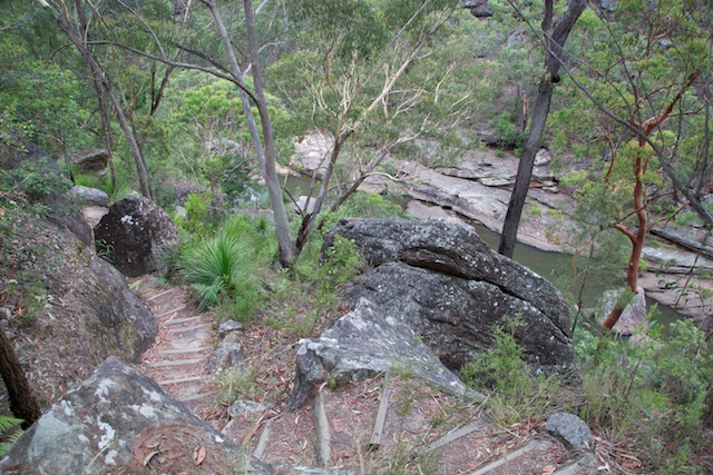
I set off from Glenbrook station for the short walk down to the National Pass entrance. The track leaves from behind the visitor centre and has been much upgraded since my childhood visits. Its a really nice path -wandering down to Glenbrook Creek through tall Angophoras.
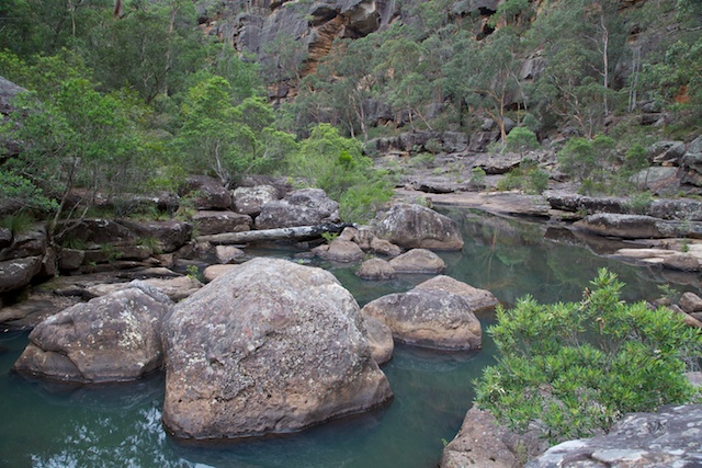
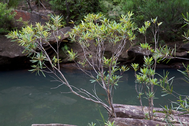
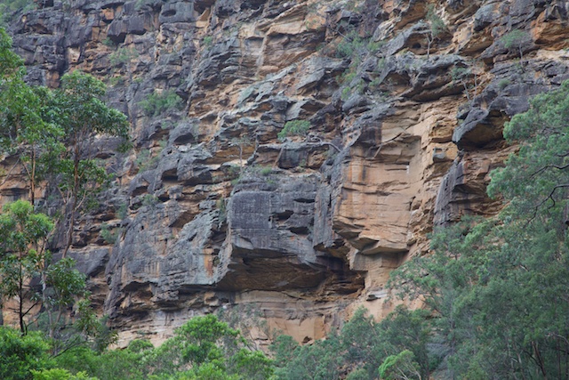
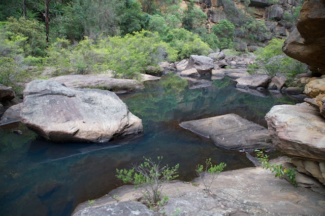
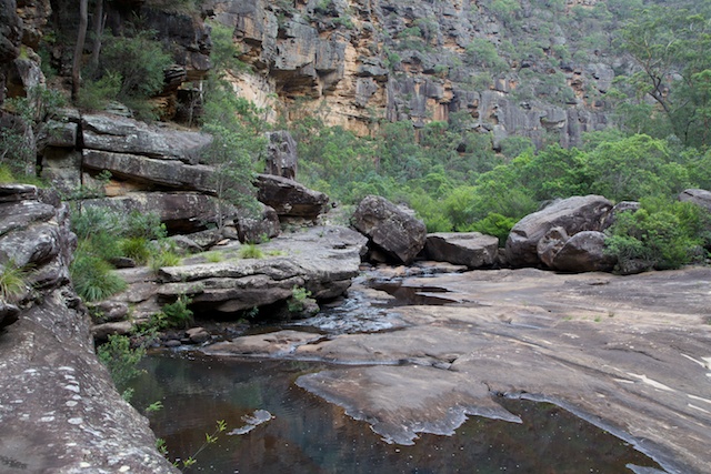
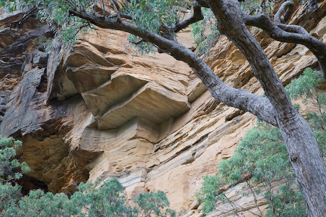
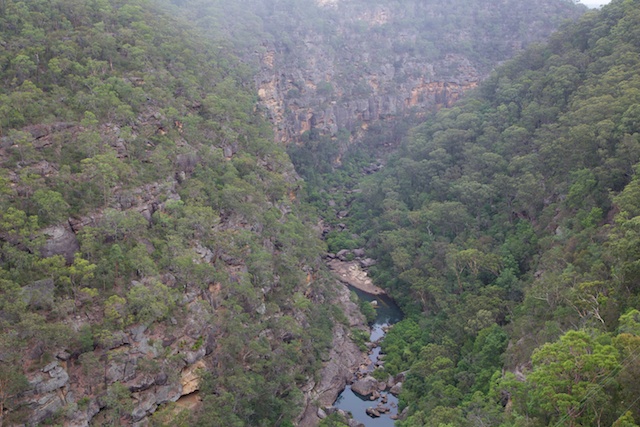
Once at the creek however, things are not so good. The water was low – just a trickle, and the water looked very polluted. A shame because the gorge is a really nice place. It formed when Glenbrook Creek had to cut through the rise of the Kurrajong Fault. The result is a deep spectacular sandstone gorge. A bit like a mini version of the Colo Gorge.
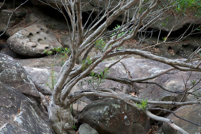
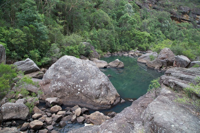
Walking through the gorge is for the most part very easy. There are lots of boulders and river gums (tristania) growing between them. This normally makes for tough going – but no, not here. There are long open slabs that can be linked up most of the way. Mots of these slabs are on the true right, and its good to cross Glenbrook Creek over to them not far past were the track takes you down.
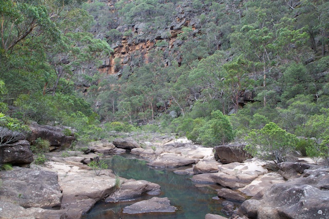
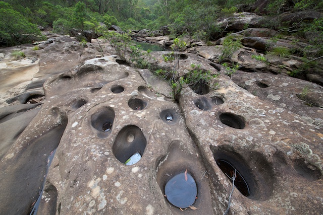
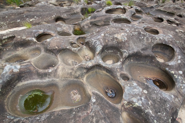
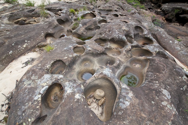
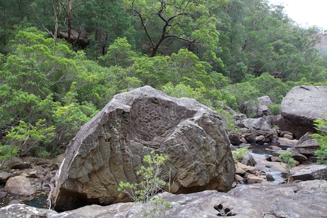
One early highlight is a section of exposed swirl holes. These are common features near creeks – but what is not common is so many of them close together. Not far past these are some deeper pools and the cliffs of the climbing area. Much of the cliffs of the gorge is very chossy rock – and only a part is good for climbing. There were two climbers in action – a father and his son.
Lower down, again on the true right, are some sandstone overhangs. The first of which would make a good camp cave – it it were not for the rubbish in it and the graffiti on the walls. Juts below these caves, I crossed over to the true left and could continue on open slabs for a while. Near the Nepean River, I crossed again to the right for the final few hundred metres.
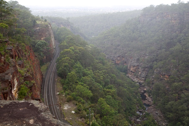
Once at the river, I was greeted by more rubbish and the sound of speedboats and water skiers. I followed a track along the river towards the Penrith direction. This meets up with an access trail for power lines that climbs up to Lapstone Station.
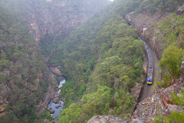
It was only early afternoon, so I continued through a few backstreets of Lapstone, to the south end of Governors Drive. I then used a Sydney Water access drive for a few metres to a marked track that crosses a deep ravine and then climbs up to the Bluff Lookout. This track provides very good view of Glenbrook Gorge. On the way are signs of the old funicular railway and tramway that was used to take men and equipment to the area when the railway diversion to its present course took place in 1913.
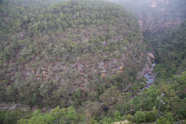
At the Bluff, I took the low track around it to a vantage point on the other side of the Kurrajong Fault and then continued on to Brook Street, Glenbrook and a walk back to the station.
More photos on my website here.
Hello there
thanks for these fantastic photographs and your description of the walk. The rock formations that you have captured are particularly impressive.