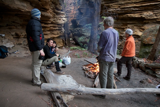
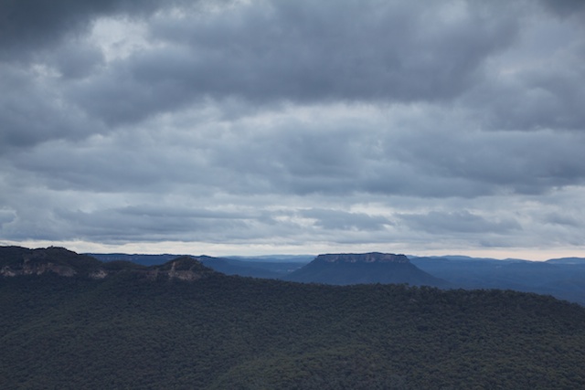
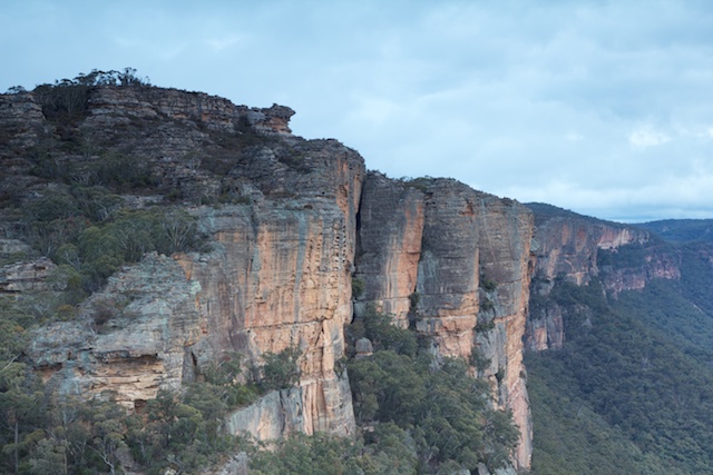
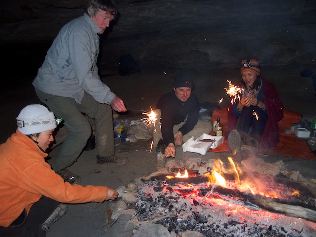
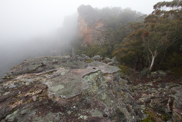
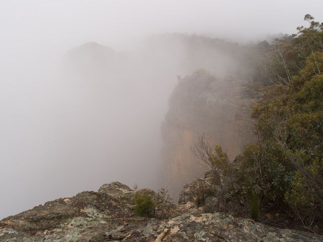
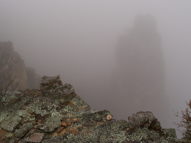
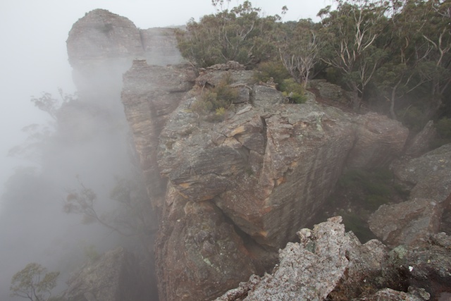
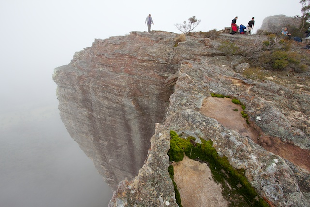
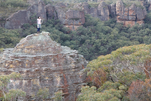
It was Wendy’s birthday – and a walk to the Red Rocks was organised to help her celebrate it. The Red Rocks is a great area for bushwalking. It is reached from Newnes in the Wolgan Valley and the main part lies on the Capertee/Wolgan divide. The “Red Rocks” itself is the name given to the huge sandstone cliffs that tower above the Capertee Valley betwen Mt Dawson and Point Anderson to the north. Late in the afternoon – with the setting sun – the cliffs change from a typical sandstone yellow colour to a magnificent red.
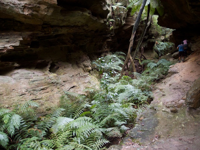
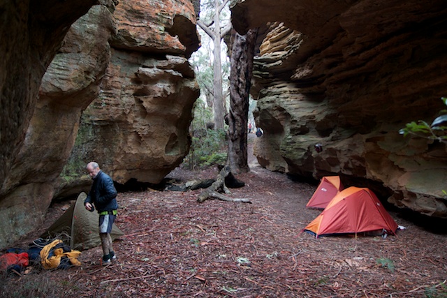
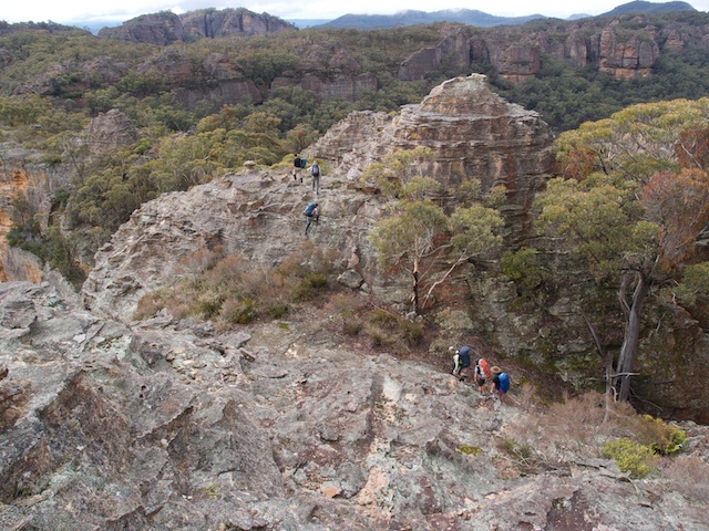
In the range are many great campsites with fantastic views close by. The actual traverse involves both rock scrambling and route finding – and these add to the attraction of the area. There are no tracks as such and the walker needs to be able to find their own route. This is normally not too hard to do. But be prepared for some trial and error route finding and back tracking. After rain, water can often be found in rock pools on the tops. In dry times water may need to be carried up from the valley. High up in the creeks are sometimes to be found semi-permanent pools caught in rock traps or contained in small canyons.
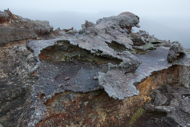
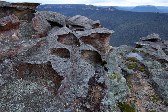
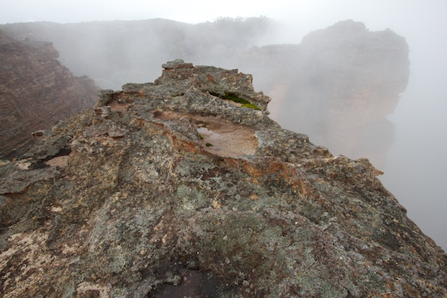
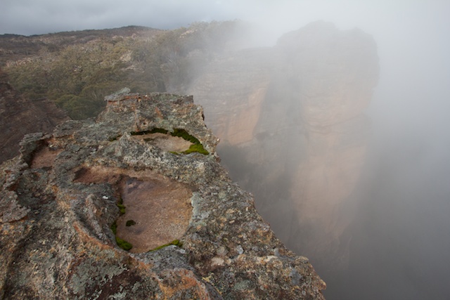
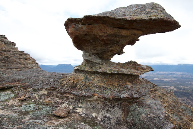
The rock formations are are quite intricate and also very delicate. Visitors need to exercise the greatest care. Already some parts are showing damage which is a great shame. Also- the navigation and route finding are an integral part of the experience – and it is a pity to find ducks (cairns) marking a route left by other walkers. Also – it is not too hard to leave campsites back to a very close to natural state when you leave. Scatter all firewood and cover the fireplace with dirt and dead leaves. Do the same with any tentsites you have used. Leave them looking natural.
More photos can be found here







Hello
I have a question for Dave Noble or anyone familiar with the Mt Dawson / Pt Nicholson walk. On http://www.subw.org.au/recent/20070609-red_rocks.html I read about a “cleft near Mt Dawson” and about “the “room” campsite near Pt Nicholson”, whereas in other descriptions (eg http://www.adventure.com.au/dynamicdata/data/Maps/NSW/Sydney/Newnes-Mt%20Dawson%20Caves.pdf) Mt Dawson sites are described as proper “caves”. What are the sites like wrt sleeping? Also do you have a description of the walk from Mt Dawson to Pt Nicholson?
Thanks
Manfred