
I joined Bob for a walk from Martins Lookout to St Helena and back. St Helena is an interesting volcanic crater in the Blue Labyrinth in the headwaters of Western Creek.
St Helena
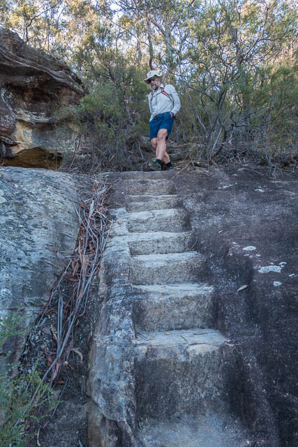
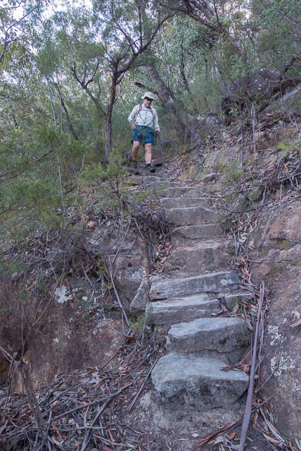
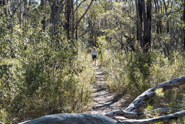
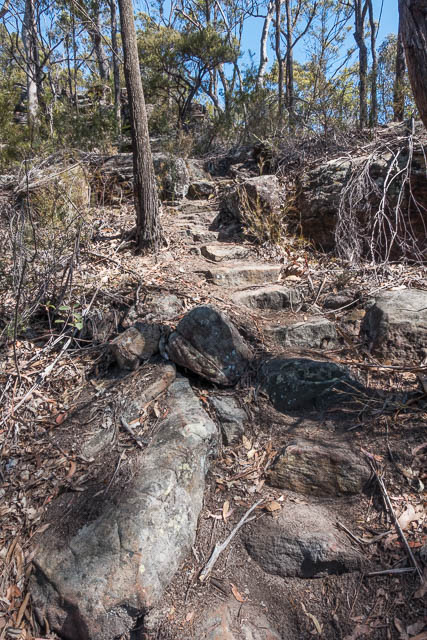
We travelled to Springwood, and turned off the highway and went along Burns Road and then farm Road out to Martins Lookout. There are two tracks from the lookout that both go down to Glenbrook Creek. We decided to walk down one and later return via the other. After admiring the view from the lookout, we walked down the western most (upstream) track. This one is not marked on most current maps but is still in very good order and has some great old stone steps.
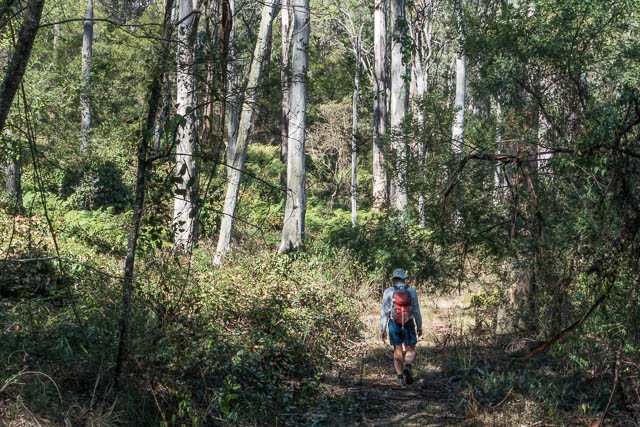
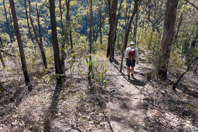
Once at the bottom, we joined the track along Glenbrook Creek which eventually becomes the Sassafras Gully Track. We followed this a short way upstream and then left it to cross Glenbrook Creek at the junction with Western Creek.
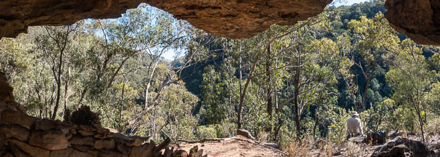
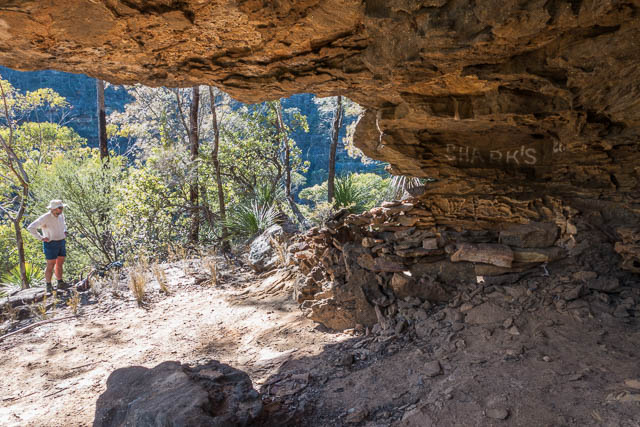
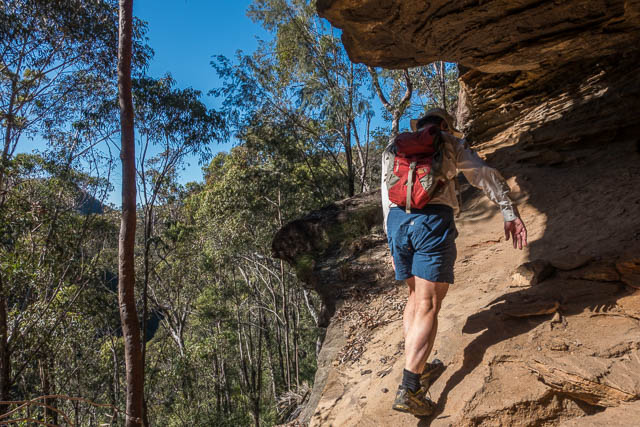
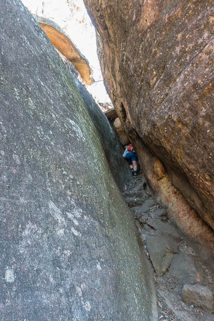
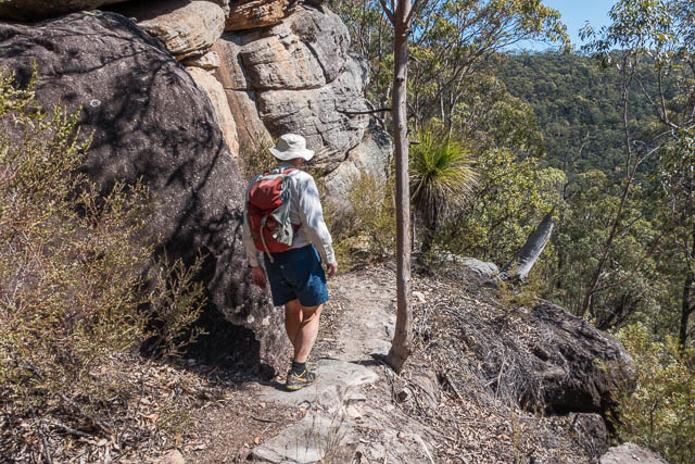
We then started climbing up a faint pad to the Sharks Head Cave. At the cave, we rested and stopped to admire the views and sign the logbook, then continued our climb. This next section is an easy scramble. It is best to go left from the cave when heading up.
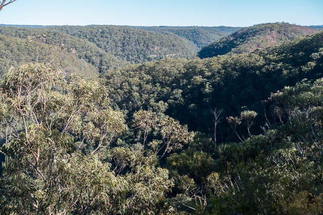
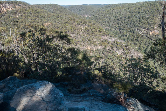
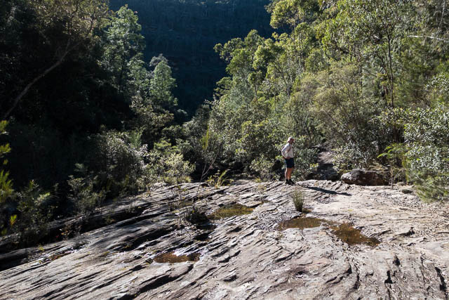
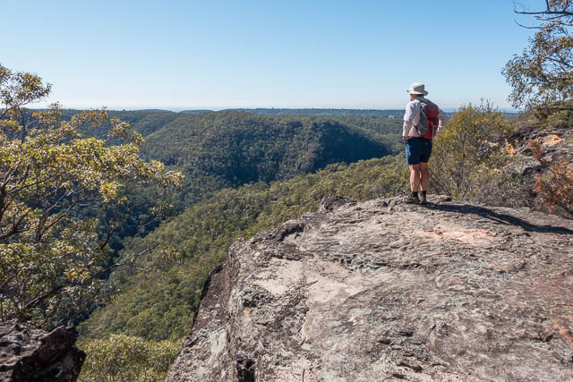
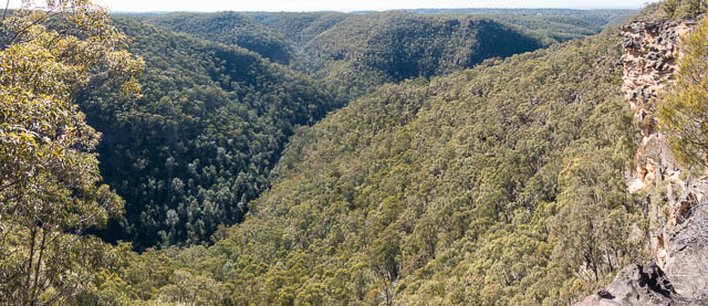
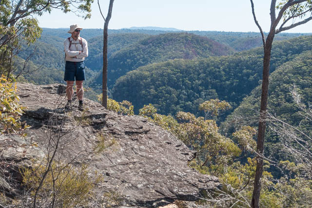
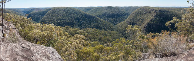
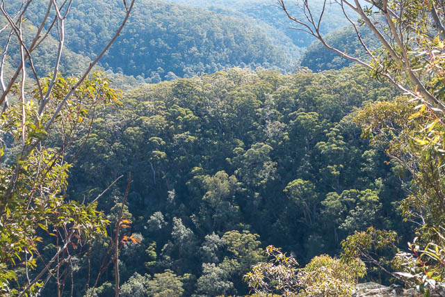
Once through the cliffs, the going is easier, and you soon reach Lost World Lookout.
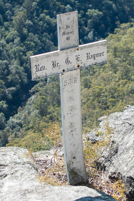
This is a good place to admire the fine views. Here there is a cross, placed as a memorial to Brother Eric Raymer, a teacher at St Patricks College at Strathfield, who drowned trying to rescue two students, members of his football team, in surf at Wollongong in 1953 (See newspaper account here). According to Bruce Cameron’s book “The History of the Blue Labyrinth”, the cross was placed by one of my uncles after an earlier painted on cross started to fade away.
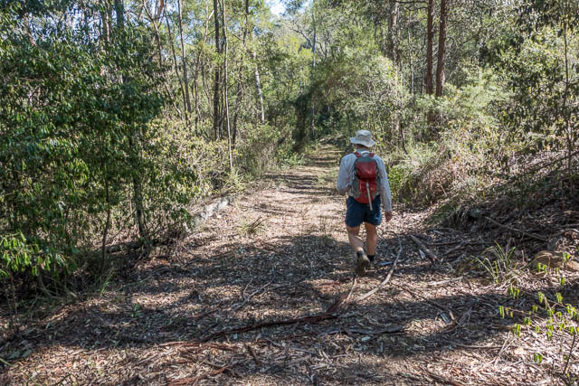
From the lookout, we now joined a good track to the old St Helena fire road. We then followed the fire road to soon reach the side road down to the St Helena Crater. We then descended to the crater.
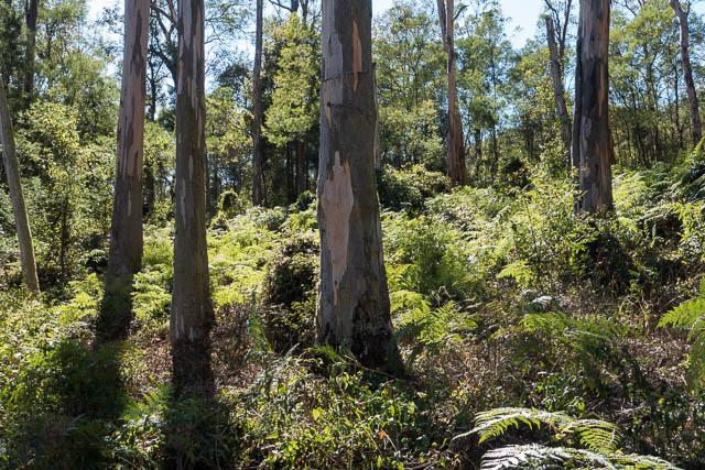
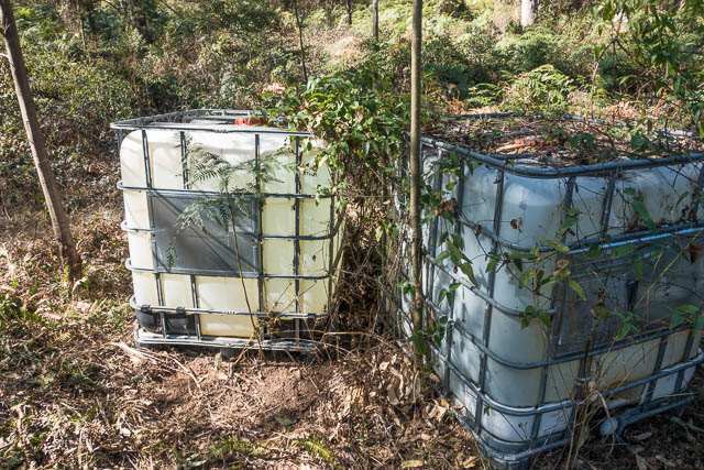
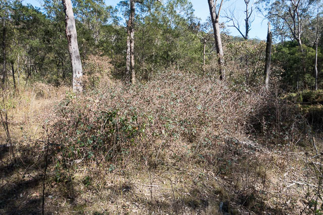
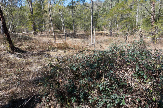
St Helena was once a very popular campsite for bushwalkers. It offered a large grassy area with water available from a nearby creek. At one time, the Federation of Bushwalking Clubs had a permissive occupancy of the area before it was later included in Blue Mountains National Park. In more recent years however it has become weed infested – largely with blackberry. Some weed control work has been carried out by NPWS, but it seems to have stopped – even though there are some large containers of herbicide there. Some of these are deteriorating and are open to the elements. There are still plenty of blackberries there.
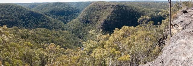
After inspecting the crater, we returned up the fire road to the main trail and followed it the way we had come, except we continued along it to where it ended at the Bunyan Lookout. More fine views, and after a few photos we found a shady place for lunch.
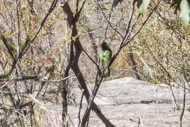
While we were eating a Shinning Bronze Cuckoo entertained us in a nearby bush.
The last part of the walk was from the lookout down the Kings Link Track to Glenbrook Creek. A lot of the construction work on this track was carried out by the same uncle of mine as a retirement project.

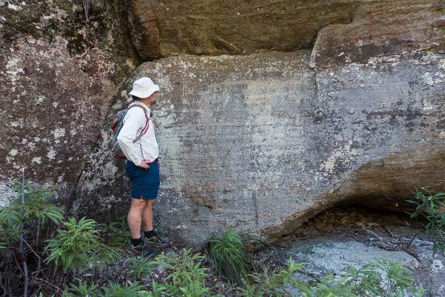
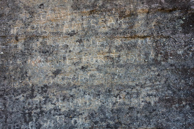
At Glenbrook creek, we crossed the creek and then walked a few hundred metres downstream to see the Psalm Rock. Here, many years ago, someone engraved the 23rd Psalm into a large rock near the creek.
We then returned to Martins Lookout via the downstream track.
Hi David very nice post you have, I’ve been reading quite a few of them. Just a quick question, when you say you go left at the cave is that facing out or facing in. your answer would be appreciated
kind regards
Jim
Facing in
Thank you Dave
Fantastic article, I went for a ramble out to St Helena‘s today (coming in from Woodford along the oaks) hoping for a bit of exploration amongst what satellite showed was a healthy looking swamp clearing in an interesting hollow. Instead I was met with a tangle of seemingly out of place weeds, the herbicide still festering in it’s cracked vessels, a creek unrecognisable by the matted growth that tops it (I was up to my chest in blackberries), and oddly enough, a ratty canopy badly hit by B-MAD that was destroying the remaining gums due to the size of the local myna colony. It seems almost surreal to descend from seemingly normal sclerophyll forest into such an unhealthy little patch of land. Still the lookouts were worth it, with a pair of falcons hunting across the valley in the sunshine.
I’ve done a bit of searching but have been unable to find why items in the area were called Saint Helena, or who named it as such.
I note (https://petermiller.work/pmiller/st_helena/article.html) that J.E. Carne described its geology in 1908.
A Trove article from 1932 describes a bushwalk in the area and notes ‘that cattle were seen….and “probably came from a place called ‘Saint Helena’ some miles out of Glenbrook”. This clue has been a dead end though.
If anyone knows any fruther info…..?