
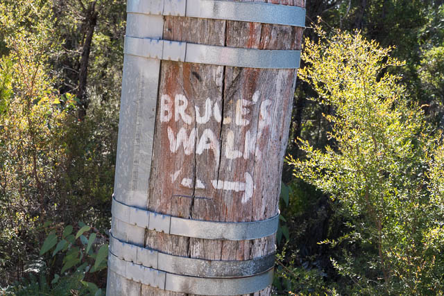
Neither Bob nor myself had visited Bruce’s Walk. It is a walking track constructed in the Blue Mountains, nor far north of the railway line, around 1931. It follows the easement of an electrical transmission line constructed shortly before, that was used when the railway line was electrified. Much of the survey work for the transmission line was carried out by Arthur Bruce, and it was likely to be him who also suggested a walking track could be constructed along the same route between Lawson and Blackheath.
The NSW Government railways even published a guidebook to the new track which can be downloaded here from Trove.
I can remember when I was young, in the 1960’s, looking at an old Blue Mountains Street Directory, and it had the track marked. But it seems that only 30 years after the track was open it had become overgrown and forgotten. Then in the 1980’s Blue Mountains track historian Jim Smith, had found and cleared some of the old track and got others enthusiastic about restoring it.
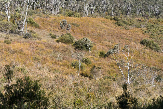
It does not have the dramatic scenery of other Blue Mountains walks along the rim of the Grose or Jamison Valleys, and it does follow a path under power lines, but it passes through some beautiful parts of the Blue Mountains. It was good to finally walk along part of it.
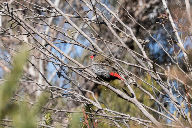
Bob had driven to Wentworth Falls, and from there we travelled by train to Medlow Bath. We then walked out along roads to Katoomba Airfield. A bit tedious walking on roads? Perhaps – but it was nice to go slow and appreciate the beautiful forest on the side, and there seemed to be a multitude of birdlife.
When we reached the airfield, we walked around a fire road on the eastern side that led to the start of the track. Note that the Blackheath to Medlow Bath section of the walk now passes through a restricted entry catchment area. And also – the track is well marked on Open Street Maps and also on the current online topographic map.
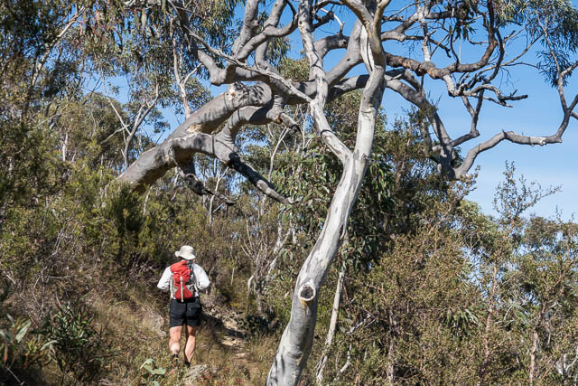
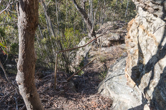
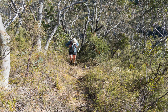
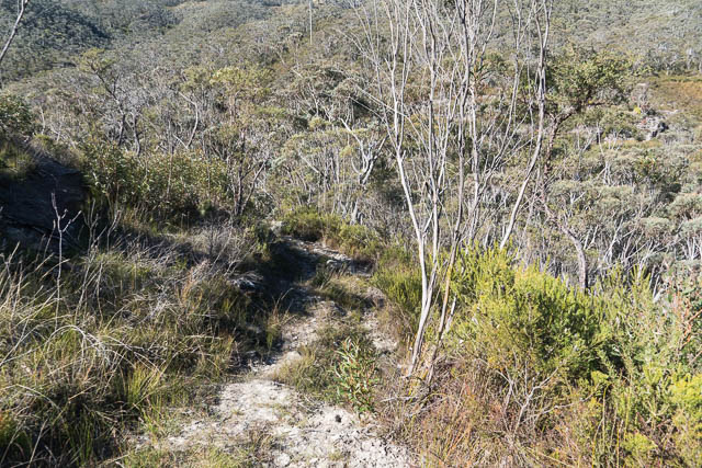
We had no idea how easy it would be to follow the track, but we need not have had any misgivings. It was easy to follow and seemed to be regularly walked. It was good to see old stone steps and metal railings as it descended to Katoomba Creek.
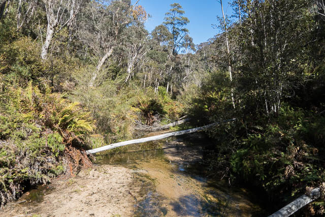
It crossed the creek about 500 m below Minihaha Falls, and then climbs up to reach another fire road.
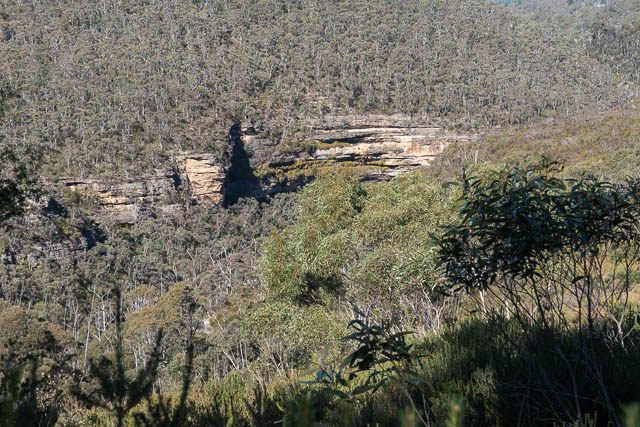

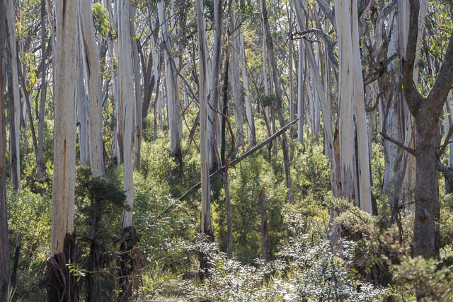
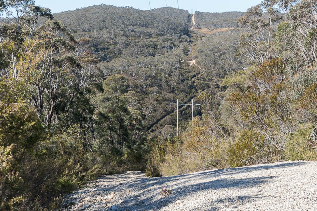
It then follows a clear path under a transmission line as it crosses two more creeks. This is a bit of a roller coaster section as there are lots of ups and downs. But the creeks are very attractive and are fedd by large hanging swamps that provides plenty of water even in a bad drought like the one we are currently experiencing. Bird life was prolific.

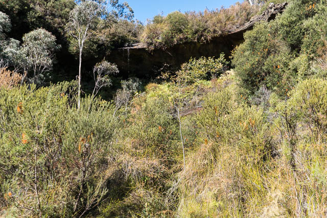
At one point, we noticed a short track bringing off to the left. We followed it down to a beautiful dell. After rain – there would be a nice waterfall here.
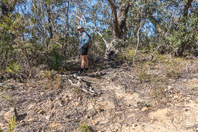
We then climbed up to the Mt Hay Road. We walked a short distance north and then turned off on another fire road.

Bushfire management signs – with grid references. “NSL” sands for “Northern Strategic Line” and “HTL” for “Hand Tool Line” (so a cut track rather than a road)
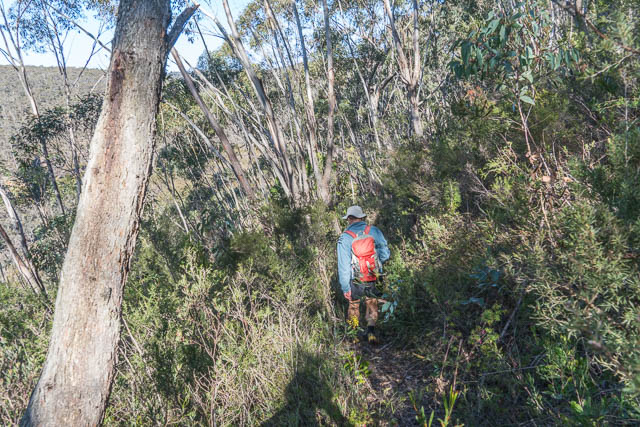
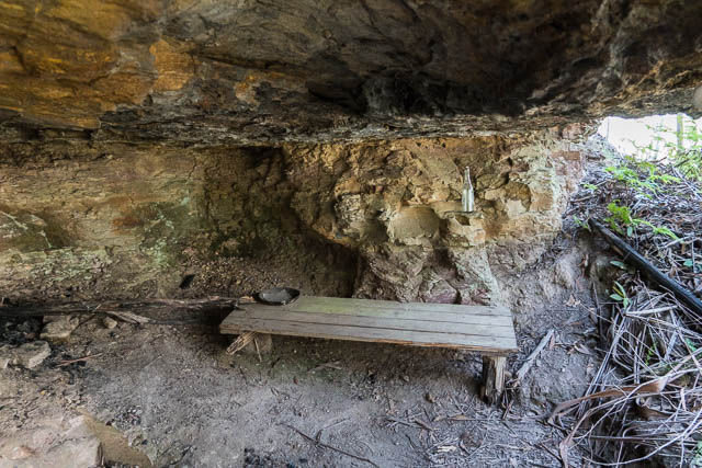
This took us almost all the way down to Wentworth Creek – the last part being a track. And it was the old original Bruce’s Walk track. Near where it crossed the creek was a small cave with a bench and old relics. It would be good shelter on a wet day.
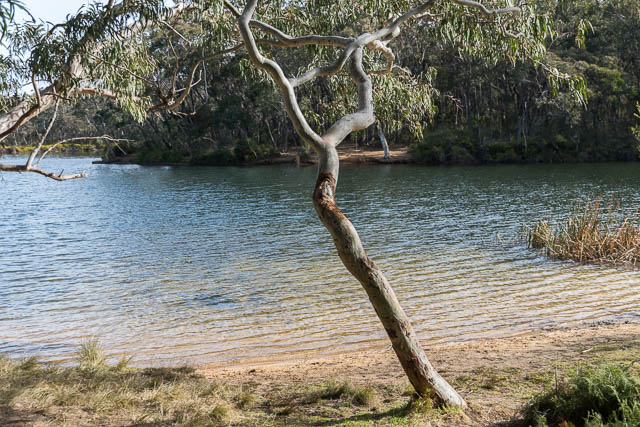
Then it was an easy walk up the far side and to the back streets of Wentworth Falls. We walked back to the shops via Wentworth Falls Lake.
More photos of this walk are online here on my website.