The weather forecast was good. Wendy and Rik were keen for a walk. Wendy hadn’t been to Splendour Rock before so it seemed like a good place to go.
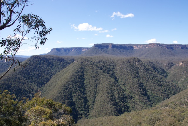
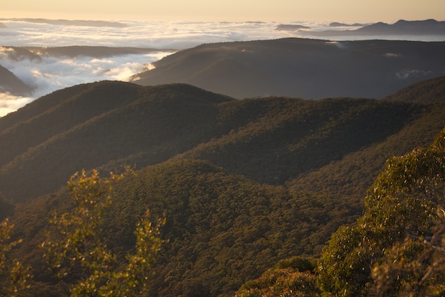
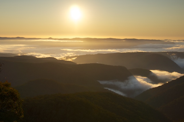
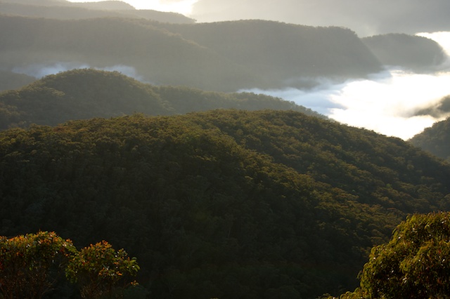
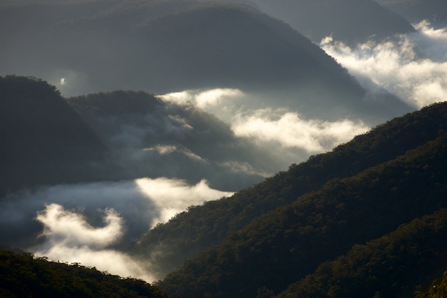
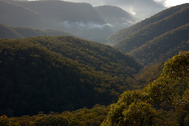
Splendour Rock is the Bushwalkers War Memorial. It juts out from the south end of Mt Dingo in the Wild Dog Mountains. Its a great place for a high camp. A great place to enjoy sunset and sunrise. A great place for magnificent views over a large chunk of the Southern Blue Mountains.
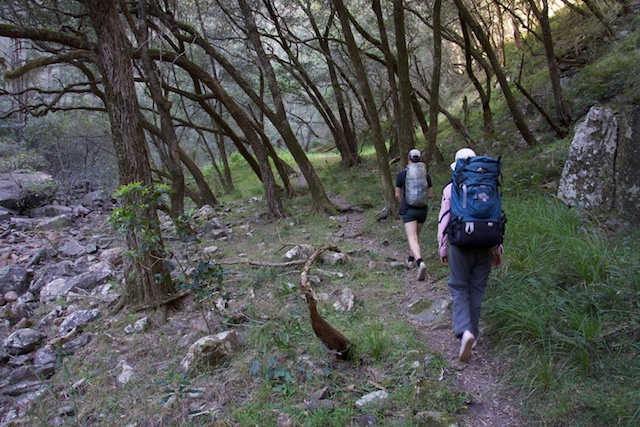
Our route to Splendour Rock was from the Dunphy Camping Area at Carlon’s Farm in Megalong Valley. From there we walked down Carlons Creek to Breakfast Creek. Both the nettles and the leeches were not a problem this time, unlike my last visit in February. We made good time, reaching Breakfast Creek in less than an hour. After filling up our water containers, we crossed the creek a short way downstream and then headed up onto Blackhorse Range to arrive on top for lunch. The weather was perfect for bushwalking -sunny and cool, with just the hint of a breeze.
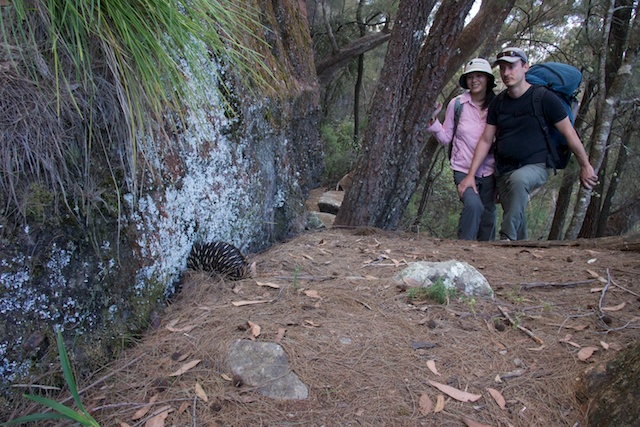
A faint track along the top of the range links up with the Medlow Gap – Mobbs Soak track. We crossed this track and continued uphill to Blackhorse Gap and the Wombat Parade track which goes around the east side of Mt Warrigal. Our walking was interrupted by a shy echidna which we spotted on the way.
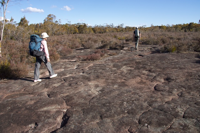
A short scramble took us down into Warrigal Gap and then an easy climb through a tunnel onto Mt Merrimerrigal. It was then across the Playground of the Dingos to Dingo Gap, and over Mt Dingo out to Splendour Rock. No other bushwalkers were there, but not too long later, two other parties arrived – also planning on a high camp.
We enjoyed the great views that the rock offers. Sunset was pleasant. A good evening was had around a nice warm fire – enjoying good food and drink.
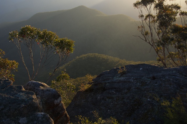
Next morning I got early before sunrise to give the camera another good workout.
After a lazy breakfast, we reluctantly left Spendour Rock and walked back across Mt Dingo and Mt Merrimerrigal to Warrigul Gap and then descended via the track to Mobbs Soak. Checking out the large camp cave at the soak we were surprised to find an abandoned tent – pitch inside the cave. Strange!
We continued on the old horse track and then branched off along the Blue Dog Track. A short diversion to Knights Deck provided more good views. A new logbook had been installed there by an old friend from SUBW – Doug Wheen.
Then is was a quick descent down Blue Dog to the Breakfast Creek – Coxs River junction for lunch. Before having lunch, we all had a brief swim in the river. A swim because the day was quite hot and brief because to river was quite cold.
After lunch, due to the hot weather, we decided that the best route out would be via Breakfast Creek rather than up Ironmonger Ridge. Forty creek crossings and ninety minutes later we were back at the bottom of Carlons Creek. Another hour, back at the car. The end of a very pleasant walk.
More photos on my website here, and a large panorama from Splendour Rock here.






Hi Dave,
That tent was in the cave at Mobbs in early April when I was out there, there was also some other weird stuff around the cave. Very strange.
Mark
There is (was) a strange hut built on Mt Warrigul not too long ago – presumably by a hermit? The tent may have something to do with this, or perhaps it was just left by a novice bushwalker who was doing their first (and only) bushwalk – and didn’t want to carry too much weight home – and just abandoned some of their gear. I have seen an abandoned tent a year or two ago at the Kowmung/Christies Ck junction.
Dave
The tent is still in the cave at Mobbs Soak!
The tent is still in the cave as of 26 April 2013! There were a few rats that were starting to chew their way in.
Quite disappointing that someone has dumped it there.
Dave, I’ve heard of your expertise.
I have a question I am hoping you can answer. I took a walk using the Myles Dunphy map. Last weekend I walked to Mobbs Soak and was on the western flank of Mt Merrimerrigal/cal, but I didn’t climb up through a rock arch or tunnel and kept going on a bearing south or maybe south west past a giant tor.
Eventually I cam to a high camp but it didn’t quite look like the Splendour rock I was expecting or War Memorial. It had a large say 4 foot high cairn with a rusty metal T stuck in it. I walked further south along a ridge and came to broken rocky ridge line which extended to a steep drop off. Again it didn’t seem to fit with my expectation of Splendour Rock.
Do you think I somehow got onto South Ghost Dogs Ridge? Or even Yellow Dog Ridge? Sorry no photo, as battery on phone was low. Anyway it’s a good excuse to go back for a proper look. Interesting that I heard the yelps both nights from just north of Mt Mouin.
Sounds like you were on the tops. Could you see both side of the range – i.e. west towards Megalong and east towards Lake Burragorang? There are three separate tops past Mt Mouin – first Mt Warrigal, then Mt Merri Merrigal and then Mt Dingo. Between each is a saddle – with cliffs on each side of the saddle – on the peaks. Mt Warrigal has a definite peak, Merrimerrigal is flatter – with the large and open playground of the dingos – a rocky heath area, Mt Dingo has a campsite near the top of the peak – and then the track keeps going south to Splendour Rock. There is no big cairn. There is a logbook in a container concreted to the rock and a great view looking towards the Coxs River and Kanangra Walls. Back from the rock are several small campsites.
Dave
Late reply, but I’m fairly sure you walked all the way to Mt Yellow Dog. It is the only spot I know in the area that has metal T stuck in the top of a cairn! Did it look like this? – http://www.google.com.au/imgres?newwindow=1&espvd=210&es_sm=122&tbm=isch&tbnid=PY3LyOvmeeBlQM%3A&imgrefurl=http%3A%2F%2Fwww.dingogap.net.au%2Fnavigation%2Ftracknotes%2Fkanangra2katoomba-d3.html&docid=nVQBBA9oqcE7-M&imgurl=http%3A%2F%2Fwww.dingogap.net.au%2Fpictures%2Ftracknotes%2Fk2kd3%2Fyellow-dog-summit.jpg&w=400&h=267&ei=9n4IU9e9H8ejkgXrmYGIDw&zoom=1&ved=0CFMQhBwwAA&iact=rc&dur=592&page=1&start=0&ndsp=20&biw=1280&bih=899
The magnificent Dunphy Gangerang map which you refer to was last updated in 1979, and since then the tracks of the area have changed a little. When heading south from Mobbs Soak, the main track continues straight through where the sketch map shows it diverting hard left up onto Mt Merrimerrigal. From there it continues south and works it way to Mt Yellow Dog. The tracks shown along Mt Merrimerrigal and Mt Dingo to Splendour Rock still exist, but are now diversions from the main route.
Bushwalking NSW has a good sketch map of the area here – http://bushwalkingnsw.com/show_sketch_map.php?walk=804&image=splendour_rock01.png&width=612&height=841
Just checking, there is a path from Mobbs soak all the way to the intersection of breakfast and Cox’s river? I am organising a scout hike, but this track doesn’t appear on any of the maps
Yes – there is a faint track all the way down Blue Dog to the Coxs River, with a side track at the top of Blue Dog to Knights Deck (where there is a logbook and good views). The track is shown on http://www.openstreetmap.org/. It turns off the track from Medlow Gap to Mobbs Soak. I don’t know the other track/route that appears on that map however – and goes to Breakfast Ck from a short way along Blue Dog. All the other tracks appear to be OK.
Dave
The other OSM track on Blue Dog is the Cattle Dog Ridge track. I went up Cattle Dog Ridge about 2 years ago, didn’t see much of a track on the way up until got to the base of of the conglomerate cliff, but from there it was a pretty distinct pad until reaching the Blue Dog / Knights Deck track – there is actually a cairn at that junction also.