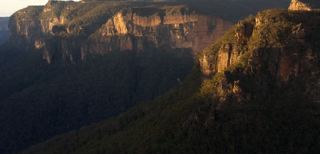
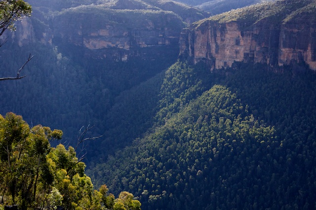
The Asgard Plateau is in the Upper Grose area – near Mt Victoria. On a recent trip to Victoria Falls and the Upper Grose, I thought that Asgard Head would make a good place for photography. The angles from it seemed about right for photos looking down the main part of the Grose Valley.
It had been many years since I had been out that way (more than 30 years!) – so it was time to change that. As this was to be a preliminary photographic trip – I set off by myself. I left the Victoria Falls road at the second turn off and followed the fire road down to Asgard Swamp.
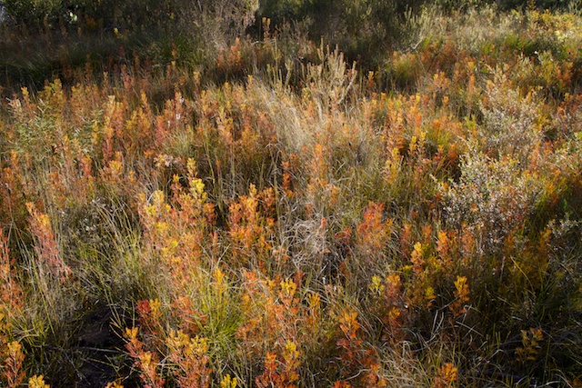
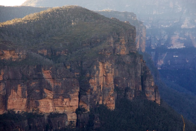
The swamp is in two parts. Both parts are very attractive. The first swamp is high up in Asgard Brook and the road crosses the outlet of the swamp. Here you need to be careful crossing on rickety logs to avoid wet feet. Near the swamp are some large pagodas. I climbed one – on the eastern side and was rewarded with some nice views of Burra Korain Head.
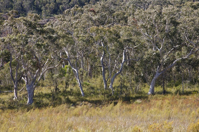
I then continued through some open woodland to the second swamp. This is the one named as “Asgard Swamp” on the map. Near the swamp is a well used campsite and a large pagoda. There is a track here that crosses part of the swamp. I am not sure where it goes to. I followed it for a while – but wanted to avoid getting wet feet. Perhaps it is just to allow for campers to get water?
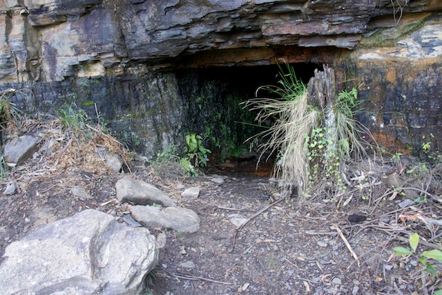
I next continued on the fire road to the old coal mine. This is found on a signposted turn off walking track not far before the fire road ends. The story of this mine, known as Mackenzie’s Mine is told in Andy Macqueen’s excellent book – “Back from the Brink – Blue Gum Forest and the Grose Wilderness”. The track to the mine goes down a gully to the base of the cliffs where the mine shaft can be found. It goes in about 20 metres and then bells out. It is one of a series of three short adits in the locality. Nearby is also an old brick coke oven. This is almost overgrown with vegetation and is hard to spot even when very close to it. The gully near the one provides good drinking water. I filled up me water containers here for lunch and my camp.
I then stopped for lunch back on the fire road and then walked out the track to Thor Head. This is a short and very worthwhile side trip. There are views on the way and great views from a large rock platform on the highest part off the headland.
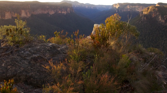
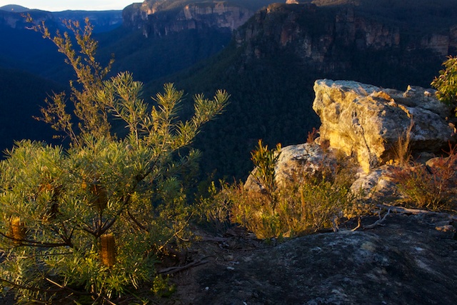
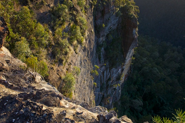
After walking back to the fire road, I regained my pack and continued on to the end of the fire road and continued on a track to a lookout at the cliff line. I then started climbing through the bush to the high point of Asgard Head. This was easy to do. There were no nice campsites on top, so I headed back down to a lower level – perhaps 50m or so lower down. Here, there was a rocky headland jutting out that offered a great viewpoint. There was also a small place nearby that would serve as a campsite. From this headland – I could see that just beyond the highest point – there may be a nice place to camp there. This may be worth checking out next visit.
The evening was very pleasant. Great views a few metres from the tent. There was a cold wind – but it was not too bad sitting next to the fire.
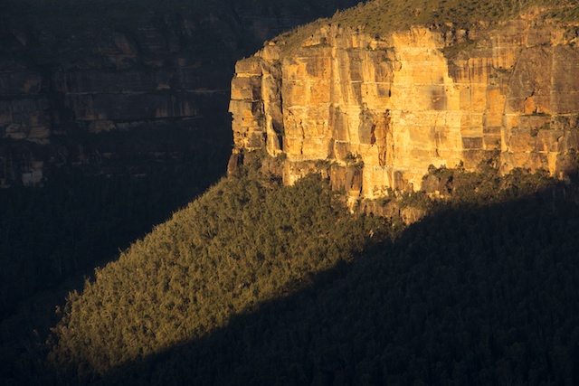
Next morning was also quite nice. At this time of the year, the Sun does not rise from the east, but from a more northerly position. I was up early to tried and capture the dawn.
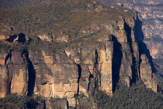
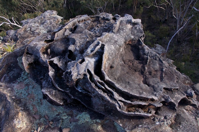
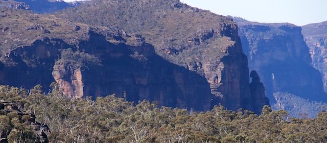
After breakfast I walked back to Asgard Swamp and a little past it to a place where it was not too far to walk to the other Asgard fire road. This short walk through the scrub was indeed very easy and on the way was a very nicely sculptured pagoda. Once on the new fire road – I followed it to the end. This was close to Valhalla Head. Close to it – but not quite there. Ahead was a track that led to a lower lookout. I then went back up to the end of the road and went out through untracked country to Valhalla Head. On the way there was a nice pagoda that offered interesting views down the Grose. Valhalla Head is a little reluctant to offer views. There are no convenient platforms on top and you need to wander down a bit to the cliffs to gain a pretty good view of the upper part of the Grose Valley.
After this, I walked back to the road and headed back till it joined another fire road. I left my pack in the scrub and headed out along this road. It descended down to a creek where I stopped. The track was quite wet at that point. It continues on to the Ikara Head and the Ikara Head climbing area.
After this I returned back to my pack and back along the fire road to the Victoria Falls Road. I then walked back to Mt Victoria.
The Asgard Plateau is a delightful area well worth a few visits to explore it. For more pictures see my website here.






Great article and lovely photos!
We plan on following your footsteps next weekend thanks for the information!
Mark and Rachel
Wenty