
The Willoughby Council have created a “Round Willoughby Walk” that combines bushwalking tracks and roads and provides a large loop walk around the municipality. Details of the walk are available here on their website. It is possible to do the walk in one long day (of over 30 kms) or you can do any of the many stages as a shorter walk.

On previous walks and fungi trips, I had already visited most of the western sections of the walk – along Blue Gum Creek, The Lane Cove River and Ferndale Park. But I had not visited the eastern sections, so that is what I intended to do. During the day I completed the first 5 (of 8) stages.
Flat Rock Creek
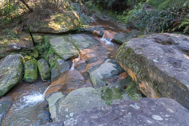
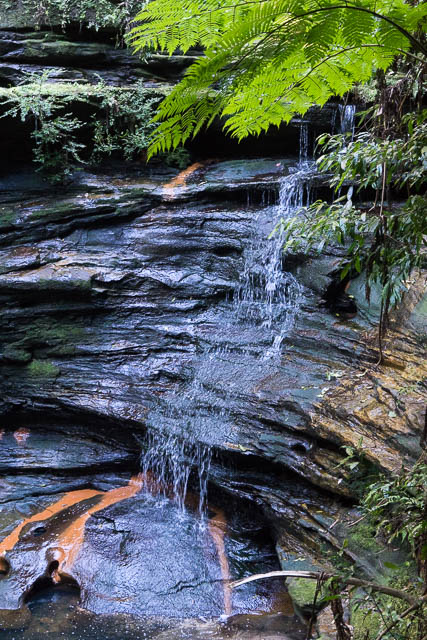
I set out from St Leonards Station (bit late – it was about 10:30 am) and made my way to Flat Rock Creek at Northbridge. I soon entered a nice section of bushland. Lower down the creek was an attractive waterfall – one I will have to return to photograph in higher water.
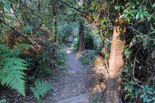
The next section of the walk goes from Long Bay, around Fig Tree Point to Sailors Bay. The map indicated that the first part of this would be through a golf course, but this was not so – the route followed a track on a lower level, through attractive bush. When the track goes around Salt Pan Creek you can see the wrecks of several boats.
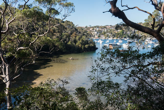
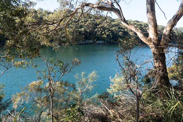
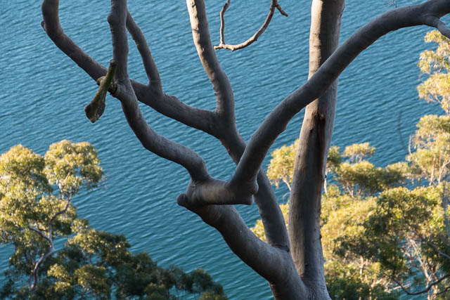
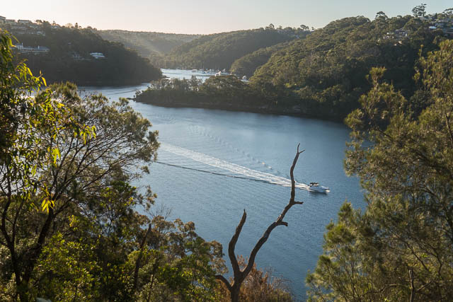
I stopped at Clive Park for good views of Middle Harbour. Then a bit of road walking to The Palisade at Castlecrag.
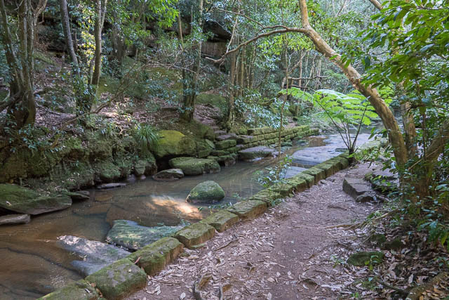
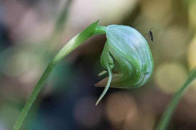
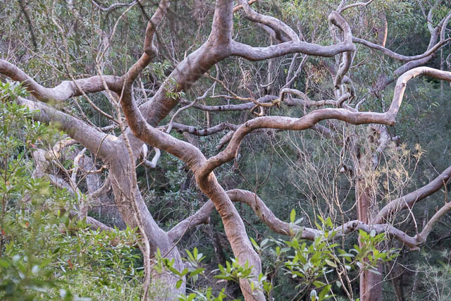
Section 3 is around the suburb of Castlecrag. The streets of Castlecrag all seem to have rather whimsical names – e.g. the Palisade, the Outpost, The Bulwark, the Citadel etc. The best part of this section is the start, where the track goes through a nice remnant of rainforest at Sailors Bay Creek. As well as some nice orchids there is also a rather nice waterfall lower down the creek. Again, its one I will need to return to after rain.
Then the walk winds along narrow roads in this pokey suburb. At one place, I ventured a short way down a track at the end of Rockley St to see if I could get a view of the bay from Mowbray Point. But – too many trees for good view. The section ends with more street walking around Sugarloaf Creek.
The next two sections of the walk leave the roads and follow tracks through nice bushland. Section 4 descends down to Camp Creek and then you follow the Harold Reid Foreshore Track around Crag Cove and Castle Cove. Then this almost joins up with the North Arm Track of section 5.
The North Arm Track is perhaps the longest of the bush tracks so far. It descends to the mangroves of Scotts Creek and then crosses the creek on a wooden bridge. It then goes around the north side of Castle Cove to Sugarloaf Bay and H C Press Park.
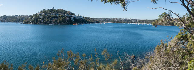
Section 5 finishes with some road walking, but along here you can get great views of Middle Harbour right up to Roseville Bridge. From here, there is link section, all on roads that takes you to section 6 which starts on the west side of Chatswood, but time was passing and it would soon be getting dark. So I then consulted my phone and saw that there would soon be a bus that would take me to Chatswood Station.
More photos of this walk are online here on my website.
Hi David,
Great blogging.
Just wanted to ask. s it possible to utilise one of your pictures for a new reserve action plan I’m putting together for Council.
Best,
Richard
Yes – sure that is fine. Let me know if you need the picture at higher resolution.
Thank you David,
Apologies for the delayed reply. I just saw this! I ended up going to Wreck Bay to take a photo on what was a beautiful day.
Can I please ask. Can I use other pictures you have on this blog for a Willoughby Walks App we are developing? I can accredit the images to you (David Noble).
Yes – you are welcome to use my photos for your app. in this post, and also more recent ones for Flat Rock Ck.
Many thanks.
Hi David, what a lovely blog post! I am trying to help out clients with some bushwalk ideas and was wondering whether I could use some of your images for in a blog post? I will credit you of course.
Hello Rachael. I would rather you didn’t use my photos – but you are welcome to link to my blog. I would instead go to the Willoughby Council website – I can remember downloading a lot of useful maps and notes.