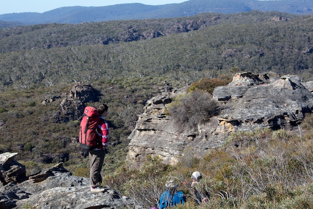
A crisp and cool weekend was a good time to walk out to Wollangambe Crater from Bell. The walk is very pleasant and quite easy. It follows an overgrown fire trail and then a “good use” track along a ridge out to the Crater. On the walk were Rik, Wendy, Chuin Nee, John, Su Li and myself.
Wollangambe Crater gets its name from its appearance rather than its origin. On air photos – it is a shallow bowl shaped depression that looks like a crater. It does not appear to be a meteor impact crater, nor of volcanic origin.
There are two other so called “craters” in the Wollangambe Wilderness. One is the Bungleboori Crater – an interesting feature in lower Bungleboori Creek about 1 km downstream of the Short Creek junction where the creek cuts a deep gorge around three sides of a rough square shape – and also with the whole square shape being a depression as well. The other crater is “Doyle’s Crater” – a tributary of Nayook Creek, not far from Black Cliff Creek.
Around 1970, a walk to Wollangambe Crater from Mt Wilson was a popular and challenging objective. I know of some parties that tried to get there via a route that involved crossing Clatterteeth and Bell Creek Canyons. Definitely a tricky task! A good summer trip is to walk from Mt Wilson to the Wollangambe River via the tourist track and then cross the river and walk along ridges to the north and drop down to the Crater to camp. The next day would involve going down the Wollangambe River back to Mt Wilson. The first part, for about half way back, is rough going – boulders and scrub. Then follows a nice section of canyon – one of the better parts of Wollangambe Canyon. Lilos are often used for this. The canyon continues right to the Du Faurs Creek junction.
Our route and walk was more straightforward. This was out and back was via an old route. It leaves the road behind Bell Station about 400m west of the station, where the bitumen ends, and where there is a turnoff into private land and a small sign saying Wollangambe Walking Trail. This leads onto a fire trail that runs down to Wollangambe Creek (South Branch), climbs up onto the ridge to the north, close to the 994 spot height pagoda and then down to the larger north branch of Wollangambe Creek. This trail was bulldozed through in about 1980 to control a bushfire. We went out to the 994 pagoda and then followed the “good use” track along quite a complex ridge right to very close to the Crater. (A “good use” track is one formed by the passage of bushwalkers over time rather than a cut and marked track. If bushwalkers stop using the track then it will (rightfully) get overgrown and vanish.) For details of the route see good notes on Tom Brennan’s website here.
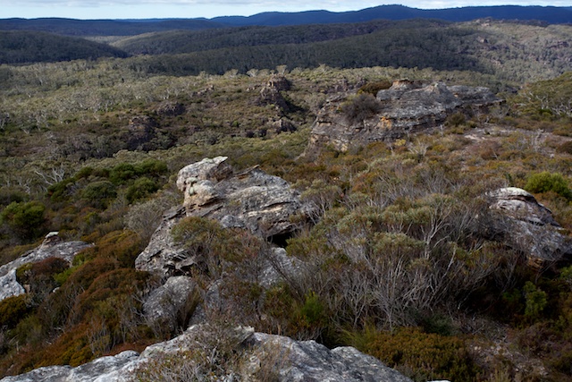
At the crossing of the South Branch of the Wollangambe there is a small campsite, good water and a small camp cave. Then it is a short climb up to the ridge and the 994 pagoda. In SUBW, this pagoda is known as “994” or the “Centre of the Universe”. It offers very extensive views of the Wollangambe Wilderness. On our walk, it was too cold and windy to stop there for long, so we continued on the track until we could find a sheltered spot for lunch.
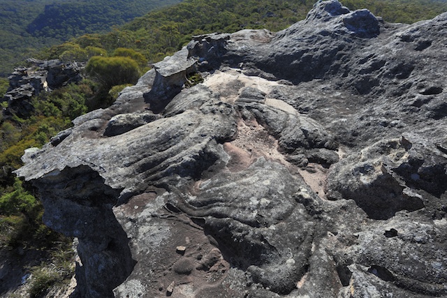
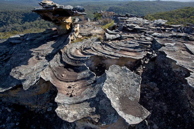
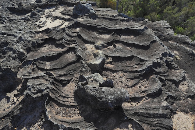
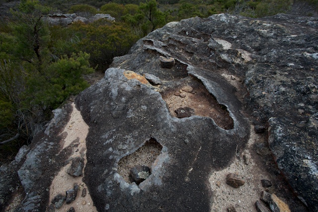
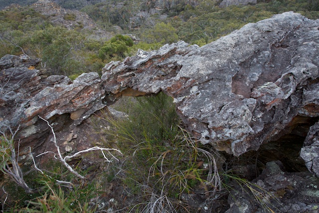
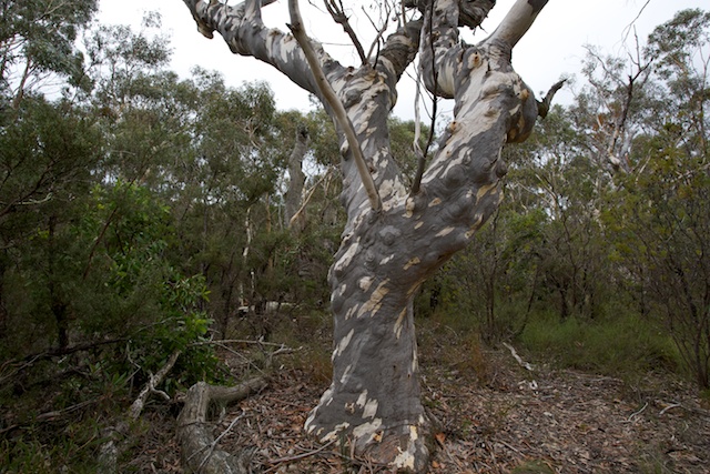
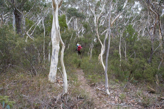
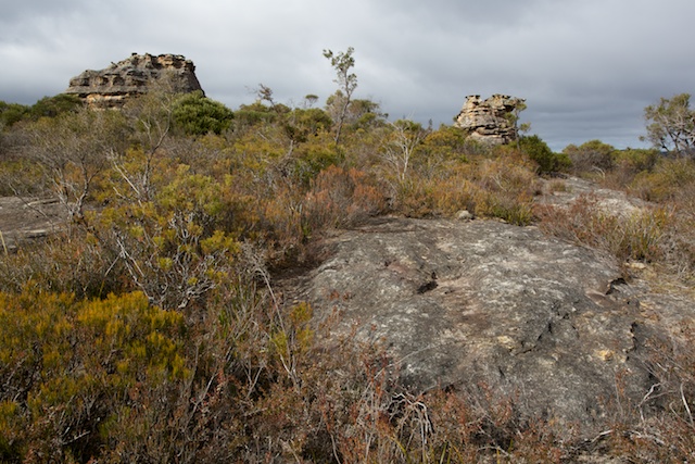
The ridge walk is very attractive. Two features stand out. The beautiful scribbly gum (Eucalyptus sclerophylla) is ever present and very striking. And the intricate and delicate pagoda rock formations never fail to astonish.
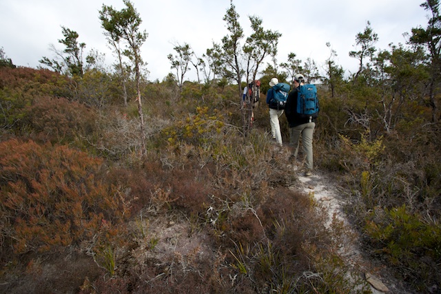
The track makes it easy to walk through some scrubby sections of heath. We did lose the track once, but it is not too hard to pick up again.
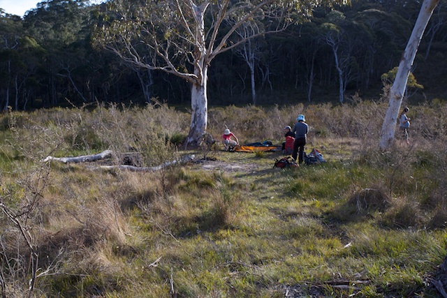
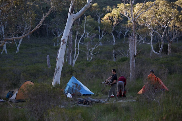
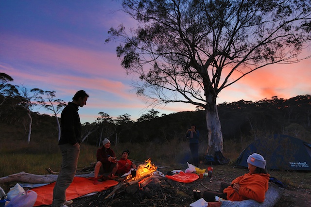
The track takes you to a nice campsite right next to the North Branch of the Wollangambe Creek. Another walker was already camped at this sheltered spot, so we crossed the creek and walked the short distance into the Crater to occupy the campsite there. This campsite is on a day bit of land surrounded by a swamp and is quite picturesque but a little exposed. It was cool and a bit breezy, so in the evening we sat close to a big fire.
The next morning, after a lazy start, we went home the same way we had gone in – along the ridge track and fire trail. We arrived back at the cars just as it started raining.
More photos can be viewed here. Su Li’s photos can be viewed here on Picassa.




Don’t forget “Gooch’s Crater”
Of course!!! How could I forget that one! Thanks for the reminder Col.
Great see the photos pre-the 2013 fires. We walked in and out today (I live at Dargan)
The whole trip is in the fire zone, looked like it was very hot so excellent for us to compare pre and post fire.
You know Wilf always claimed the crater was formed by impact!
Great Photos but for a better understanding of the process that formed the ‘Crater’ please check out the Story/Info the Link provides – Extremely Interesting …
https://www.thunderbolts.info/wp/2018/10/22/not-a-crater/
Cheers – Take Care out there wandering around Australia …
Greg.