A bushwalker friend, Dave, was on a short visit from his work overseas and had organised a walk for SUBW to the Red Rocks near Newnes. This is one of my favourite bushwalking places. Easy to get to, great views, a high camp, interesting rock formations – it has a lot going for it! The only downside is that unless you go straight after rain then you need to carry some water.
The Red Rocks is the section of the tops between Mt Dawson and Point Nicholson and then on to Point Anderson. The first part follows the Wolgan/Capertee divide and the second part is a peninsula jutting out into the Capertee Valley.
So a group of us headed out to Newnes and walked up Little Capertee Creek. This is only one of many ways top get to the Red Rocks. At first the route follows a road which goes up to some cabins. This is at a large flat. Here you leave the road and head out for the other side of the flat, passing through high bracken. You need to watch out for nettles and wombat holes. From both sides of this flat are easy passes onto the tops – and a route on one side to Mt Dawson and the other side onto the Wolgan/Capertee divide. Many years ago, on a walk along the divide – we had named the saddle there – “Bottle Saddle” because we had found the remains of quite a few smashed beer bottles right on the high point of the saddle. We carried out the broken glass – in our billies, to stop sharp glass cutting our gear. The base of the bottles had dates on them – they were all from 1939.
Our route was straight up the creek. On the right as you go upstream, there is a faint track. You need to watch out as you go upstream – fallen trees have obscured the track in places. This “track” is actually an old road – in many places you can see benching on the side. Why was there a road here? I’m not sure. I can remember a phone call from bushwalker Pat Harrison years ago (1970’s) saying he had heard of a route for taking cattle from the Wolgan to the Capertee Valley that went up Little Capertee Creek and asking if I knew it or had seen signs of it. On the divide there are no signs of a formed track like this – or at least not remaining anymore. Perhaps this old road was part of that route?
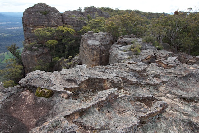
Anyway – about 40 minutes after leaving the flats, we arrived at a side creek and it was a nice place to stop for lunch. Again, from this spot there are several routes to the tops. The shortest is to head straight up the small side creek, and then through a very small canyon to a low saddle on the divide – in the middle of the Red Rocks. Another route is to continue up Little Capertee Creek – although this is rougher walking at first. We went up an intermediate route – onto the ridge between these two creeks. If you look around there is a very faint pad to follow along the ridge, bypassing some giant pagodas. It takes you all the way to the divide. It was disappointing to find some previous visitors had built a few cairns (ducks) to mark the track in places. The Red Rocks is no area for marked routes!
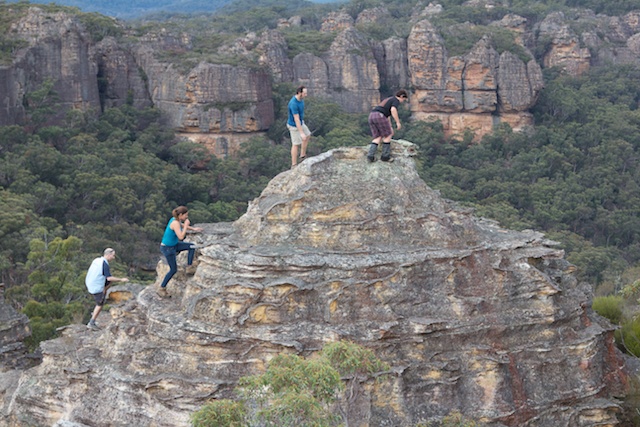
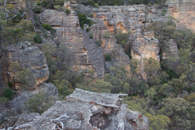
Once on the divide – we arrived at the top of the “Pagoda of Death”. We stopped to admire the views and take photos. This giant pagoda has a nice scrambling route straight down its northern face. Photos make the pagoda look quite steep due to foreshortening.
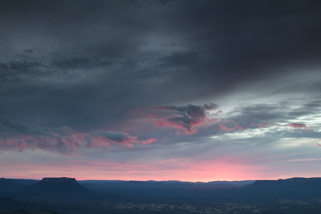
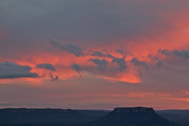
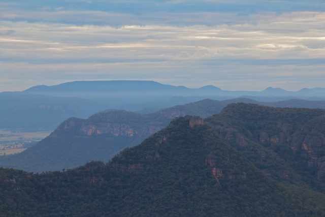
We camped near Point Nicholson. I was hoping for a good sunset and sunrise – but unfortunately both were disappointing. But we did have nice weather and great views looking out into the Capertee Valley. The stone fastness of Pantoneys Crown, a mesa, was impressive.
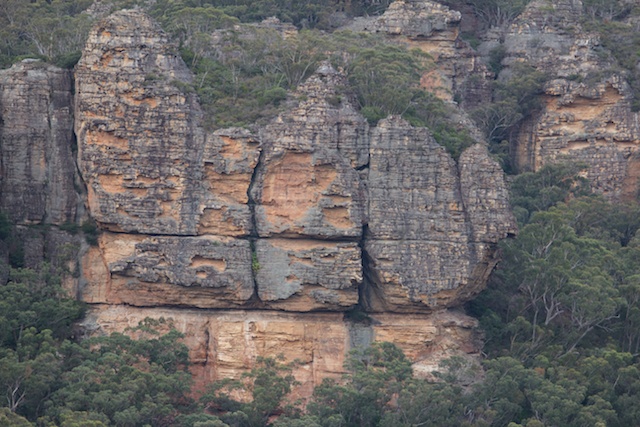
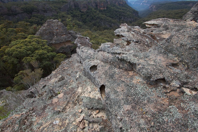
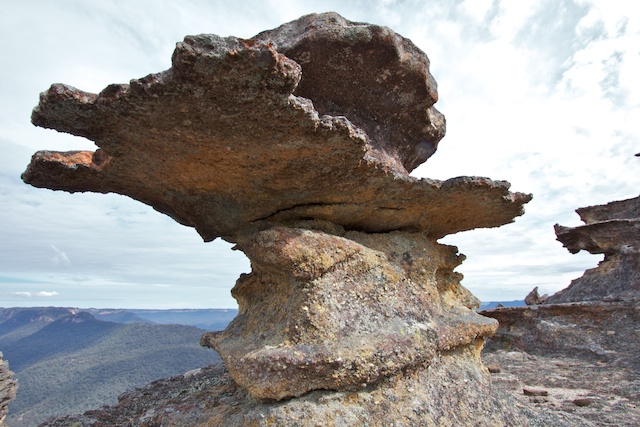
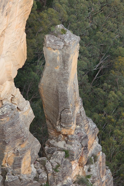
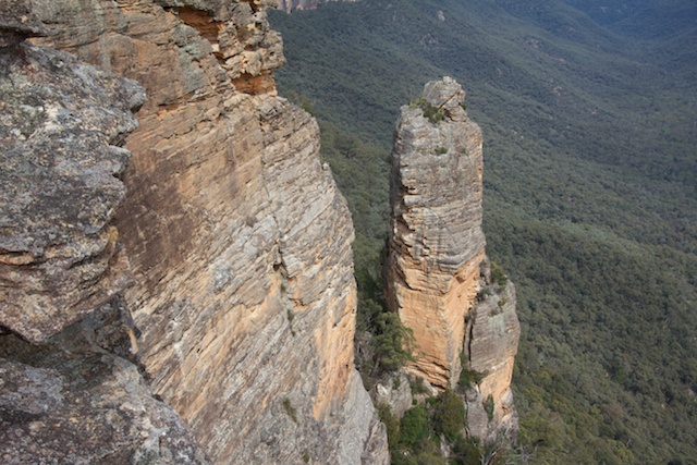
On the Sunday morning, Dave had to leave us to get back to some work. He left us and headed down the fast route for Little Capertee Creek while we continued on along the Red Rocks Traverse heading in the Mt Dawson direction. So it was back up the “Pagoda of Death” then along the tops, past many interesting pagodas, cliffs, pinnacles and deep slots.
Visitors to this area need to tread very carefully. The delicate rock formations can be easily broken.
At one point, the best way forward is to go through a natural tunnel that provides a convenient route to a lower level. Another route lies through a narrow slot canyon – an excellent pass through the cliffs at one point.
This allowed us passage into Little Capertee Creek once more and we followed the stream back to where had come up and then back to the car at Newnes.
More photos can be viewed on my website here. Albert has a set of photos here.






Awesome. Amazing photos.
I thought the sunset was pretty sensational; maybe I just have low expectations 🙂
Thanks for posting this.