
This was a nice daywalk with Bob and Rob. None of us had visited Bottleneck Pass, but knew it was found on the Elphinstone (Radiata) Plateau of Katoomba. There are some notes on the pass on Alan Wells website and also on the Dingo Gap website.
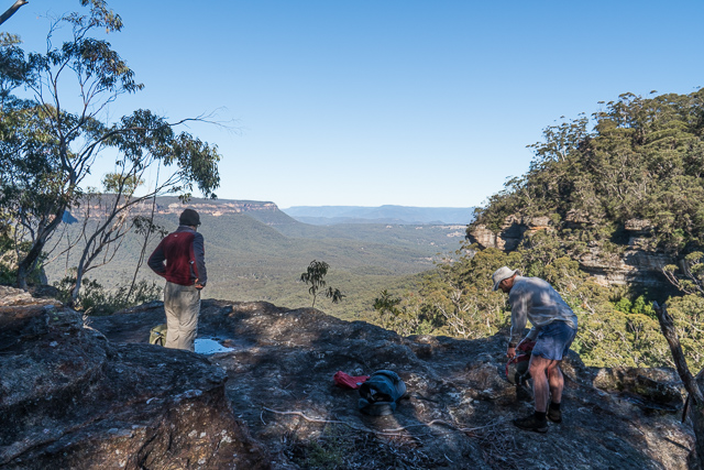
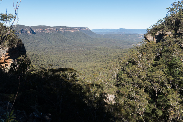
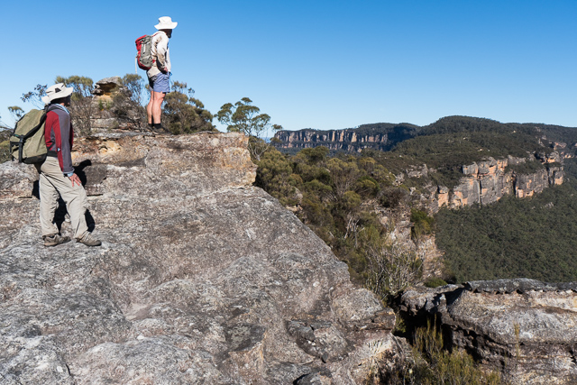
We started off from the carpark at the top of the Six Foot Track. We walked down the track a short way, then turned off to the right along a faint road that traversed behind some properties. It was not clear where to head out to the top off the pass. We did find a bit of pink tape on a tree and a very rough pad – but I think we lost the track if there was one. But it was not very far to the cliffs, and we headed out to a point. It looked too steep to continue, so we walked back into the gully where the pass descends and soon found ourselves on top of a rock platform with good views of Megalong. Some rock pools were frozen. In a small overhang, we found an old visitors book. It was in a plastic container that was broken and the logbook was sodden. Bob carried it out. It was clear that we were at the start of the pass.
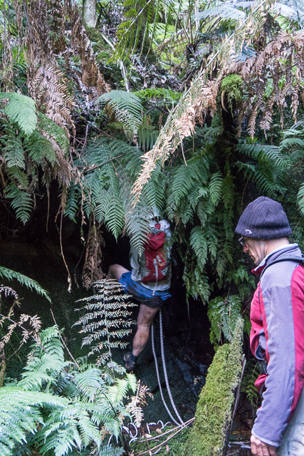
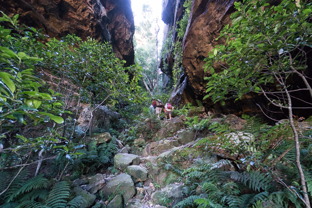
Nearby was a cleft that seemed to offer a route down through the cliffs. It was easy going down the cleft and then we kept descending – trending towards the head of the gully.
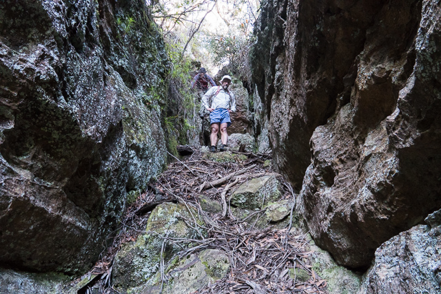
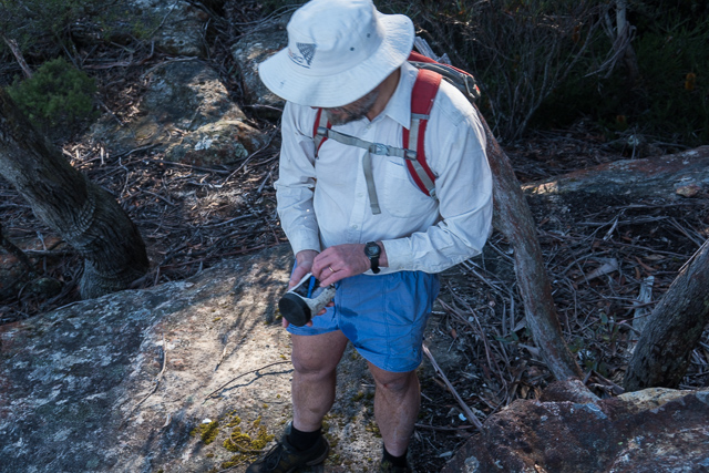
Lower down, it again got quite steep and we used a rope to assist going down a very greasy drop to the creekbed. We then continued along the creek, scrambling over rotten logs and being very careful – it was very slippery! Lower down was another section where we deployed the rope to get down a drop of about 3 m. This drop would be hard to climb directly from below. Further along was a log resting next to the cliff. You could possibly climb up that way onto a ledge to get up.
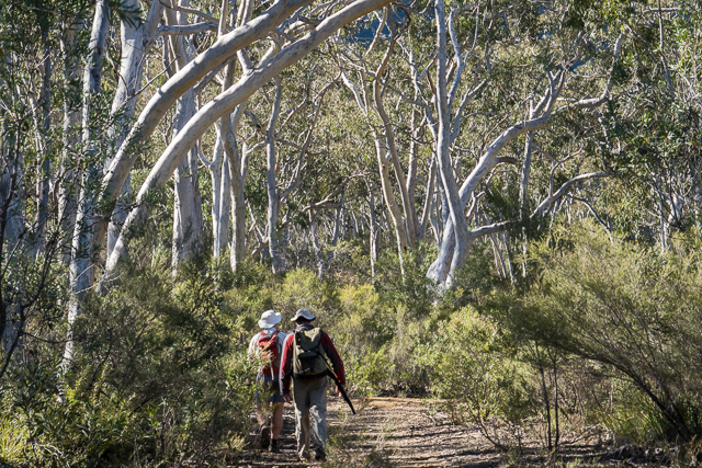
We continued down – more logs to scramble over and more slippery rocks. Slow careful going. Later the creek opened up somewhat into nice rainforest. We trended to traverse out onto open slopes on the true right. It did not take us too long to reach open forest at the bottom. We then crossed a larger creek and climbed up onto the Six Foot Track.
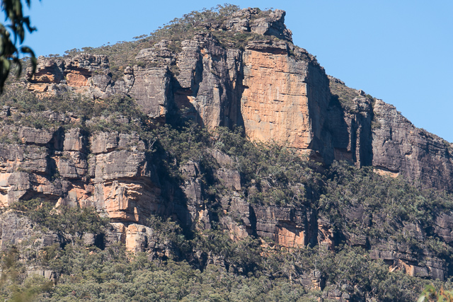
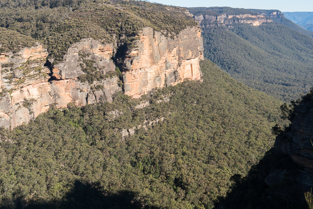
It would have been a short trip back up the Six Foot Track to the car, but we wanted to do a bit more. So we continued down the Six Foot Track to Megalong and then followed the old road back towards Narrow Neck. Above us where the mighty cliffs on Narrow Neck.
We then turned off and followed the Devils Hole Track and climbed up through the Hole. On top we found a nice sunny lookout for our lunch stop.
After our break, we did a short bit of road walking to reach the Bonnie Doon Track, and along that to the John Britty North Lookout and then it was a short walk back to the SixFoot Track and Bob’s car.
This was a nice walk visiting a new pass for us. Perhaps Bottleneck Pass was used by aboriginals? With a few logs or a fallen tree, it would not be too hard to ascend. The Devils Hole was certainly used by aboriginals as a route from Megalong to Katoomba.
More photos are on my website here.
The Katoomba Daily of 10 September 1932 has an article about Bottleneck Pass on page 4.