Google Earth Pictures - Hawkesbury Ride
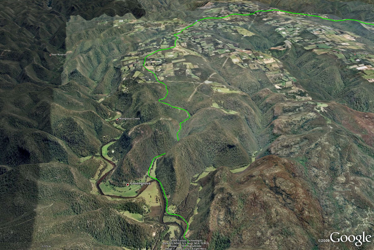
Above - Mangrove Mountain and Bedlam Hill
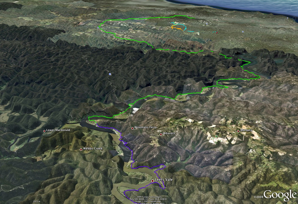
Above - Hawkesbury River
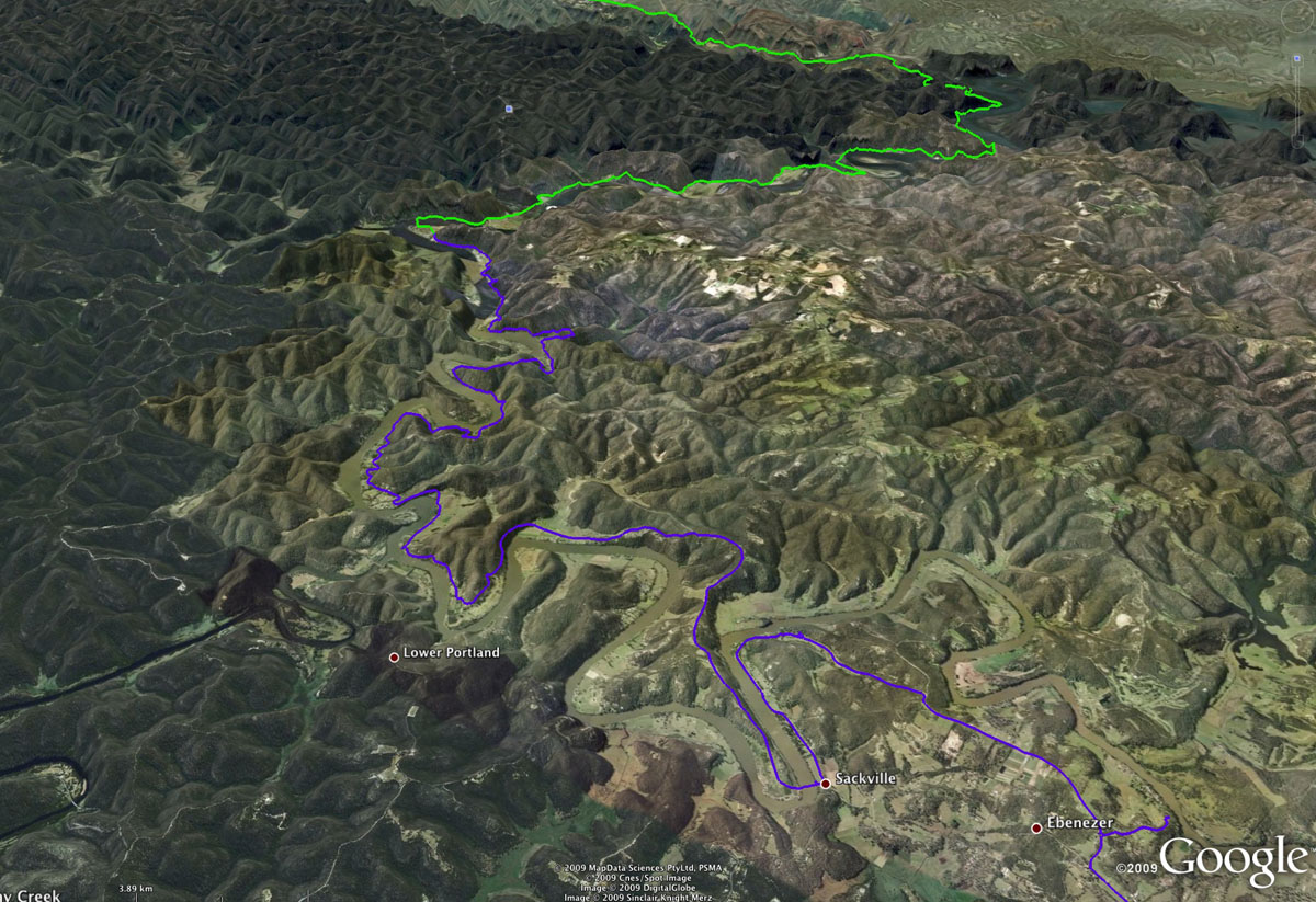
Above - Hawkesbury River
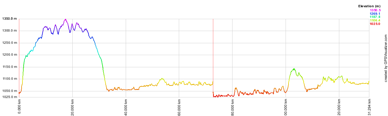
Above - GPS plot of the ride. Note that the GPS was not calibrated too
well!! - and the pressure change overnight. The whole ride was about
132 km.