
I got the idea for this walk, and downloaded walks notes from the Wild Walks Website. I had not walked in this area before and this particular walk seemed the longest one on the website for that area.
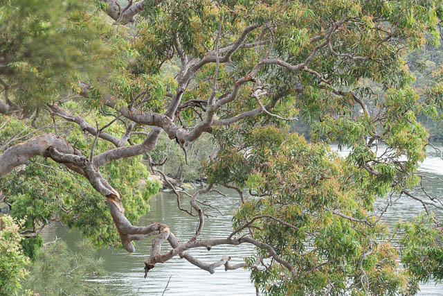
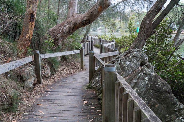
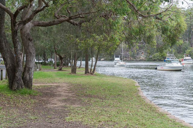
It was easy to get to the start – train to East Hills. Then you have to walk a kilometre or two along a road to Lambeth Reserve. From there I followed a good path beside the Georges River. The path soon changes into a boardwalk which you follow a fair way to Picnic Point. At this point you are walking past house till you get to Fitzgerald Park which is part of Georges River National Park.
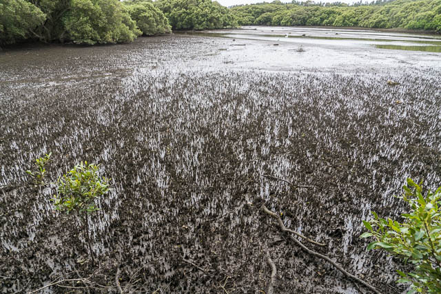
More easy walking through the park and then there is a nice loop section around Yeramba Lagoon. The lagoon is surrounded by good bush, but at the time of my visit, there was not much water in it and it seemed to have a lot of weeds and not too many water birds.
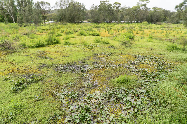
Yeramba Lagoon
Yeramba Lagoon Loop Track
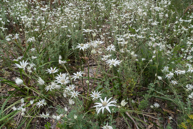
Flannel Flowers – Yeramba Lagoon
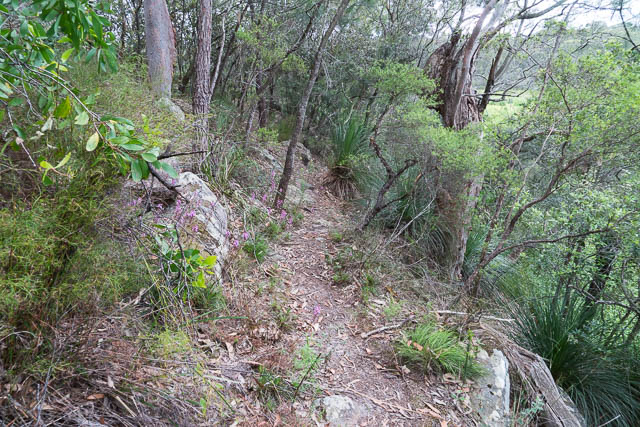
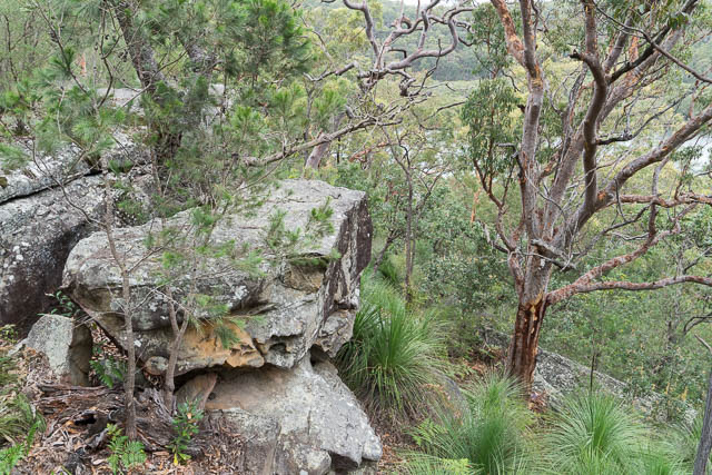
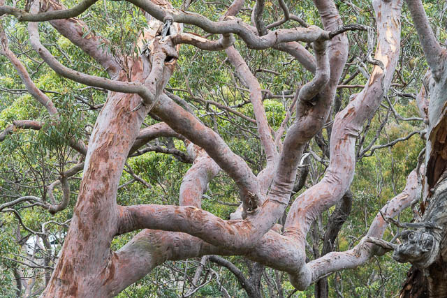
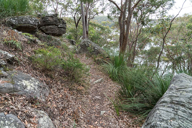
After the lagoon, I headed back to the river and followed more tracks through bush to arrive at a nice rocky point overlooking the river, and then I next followed along the Ridge Track. This track is below and parallel to the road (Henry Lawson Drive), and also if you look down, you can see another road below and a few picnic areas. You walk through possibly the best bushland of the walk, but you do hear a lot of noise of cars and trucks from the road and from powerboats and jet skis below on the river.

I did intend to stop along this section for a break, but there were too many mosquitoes!
The Ridge Track then drops down to Morgans Creek where there is a large picnic area and boat ramp. The next section of the walk is probably the worst part. You have to walk along part of Henry Lawson Drive – with lots of vehicles and through a cutting with no footpath and a very narrow verge. At least its not a great distance to cross the bridge at Little Salt Pan Creek. Then you turn off on an old fire road.
This road took me to a large turning circle that also seems to have been a dump for building materials. Its pretty messy. Then I followed a track a short way top the river, then along the river to Mickeys Point Beach. This could have been a nice place – but there was far too much rubbish washed up on it, and too many noisy ski boats and jet skiers going past.
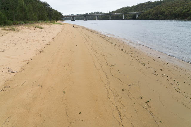
Mickeys Point Beach
Its easy going along the beach to arrive underneath Alfords Point Bridge and then a little further along to Beauty Point. This is a bay full of mangroves but with a lot of washed up rubbish – particularly plastic bottles! I imagine if the tide was high, then you may get wet feet here.
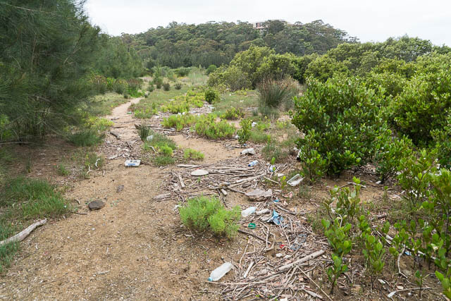
Beauty Point
Then the route goes up an old fire road to the back streets of Padstow. Then another section of street walking to reach Henry Lawson Drive again, at the bridge over Salt Pan Creek. Just before the bridge, I followed stairs down to a boardwalk under the bridge.
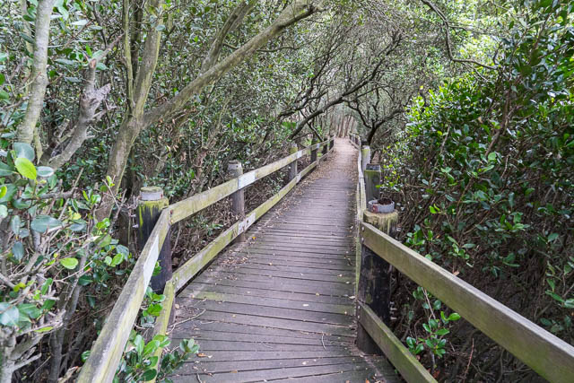
Then more boardwalks up Salt Pan Creek – mainly through mangroves. Pleasant walking along a nice path – but again I was put off by the rubbish washed up between the mangroves.
Salt Pan Creek
I followed the boardwalks up to just past the railway bridge, then followed streets to Padstow Station.
On the whole, this was quite a nice walk, but let down by a lot of rubbish on the way, and the short section of busy road that you have to walk in the middle.
More photos of the walk are online here.
Welcome to Bankstown.