
It had been raining for a day or two and I was hoping that Glenbrook Creek would be up a bit. Its only a ten minute walk to the creek from the National Park entrance at Glenbrook. There is a good track that starts behind the Visitor Centre of the National Park. The start is not obvious, you have to go along a service road a short way and look for a sign that is not visible from the carpark.

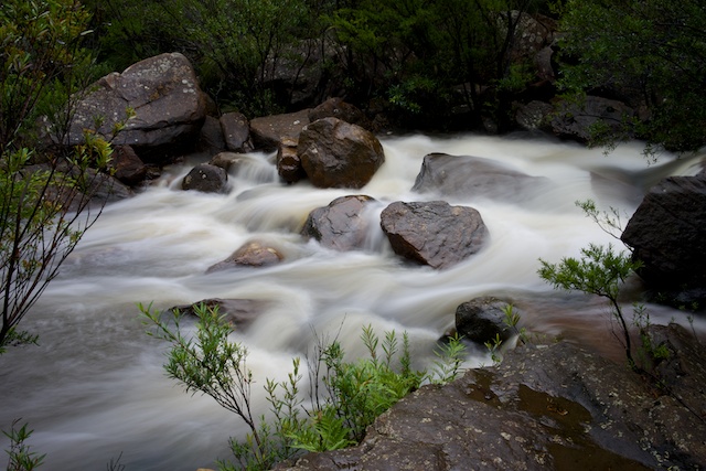
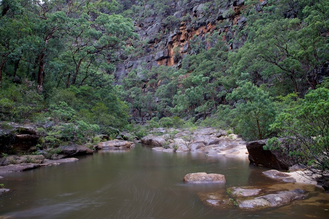
Once at Glenbrook Creek – it is only a few minutes more walking down to the start of Glenbrook Gorge. The rain and stopped so I set up my camera and tripod and started photographing the creek.

I wandered down slowly, and encountered two other walkers that were heading downstream. They were an old friend Bruce Cameron and his son. Bruce has been working on updating his book on the Blue Labyrinth and it was good to chat with him about his progress.

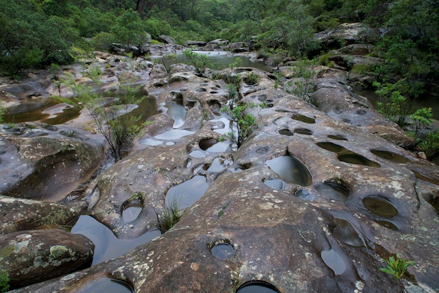
They headed off, and I continued down taking more photos. It is not too hard to cross the creek, even when the water is up a bit – by doing a big leap across at one particular spot. Just down from this is a nice section of swirl holes and potholes carved into a large rocky slab. It was nice to see all the holes full of the recent rainwater.
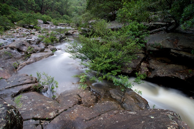
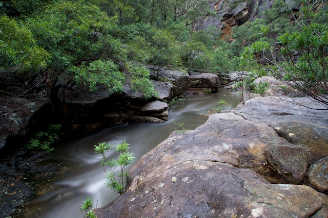
With the rain – everything look good – the rocks, the leaves and the bark of the trees. The rain had brought out the colours. It is worth taking the effort to get out in wet conditions quite often.
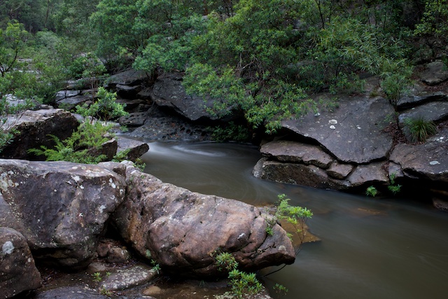
The rain held off for the main part – but I did have to use a small umbrella to shelter my camera from time to time. A small price to pay.

More photos are on my website here.
Hi David,
I actually live close to the Gorge, yet I have never ventured down, so far only doing tracks and trails that are easy to stick to. Your photos suggest you may have gone ‘off track’ a little, is that the case? Or are these photos from an actual trail?
Cheers,
Eddy
There is rough track all the way down the gorge – all the way to the Nepean River. But since the area is very rocky – the track can be hard to actually follow in places. But basically you are just scrambling down on boulders and rock ledges. Best on the true right side after the first crossing.