
I recently spent some time in Royal National Park on a photographic trip. My route was from Bundeena to Waterfall via the Jibbon, Marley, Wottamolla, Curracurrang, Curracurrong, the Curra Moors, The Wallumarra Track, Bola Creek, The Forest Track, The Couranga Track. This route provided a great variety of scenery.
I had not been out on the Jibbon before. On the way out along Jibbon Beach, I and to be careful not to step on sunbathers. The tide was up and the beach very narrow. Once around the beach, I was on a nice track that went out to the headland. In places there were some aboriginal engravings. There were also plenty of rock fishers. The last part of this section- was a slog – on a wide sandy track back to the fire trail near Bundeena. No views, deep slow sand in places, and no shed from the sun! It was a very hot day too.
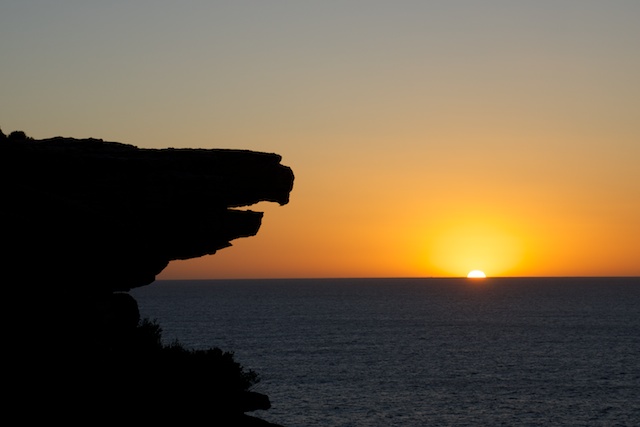
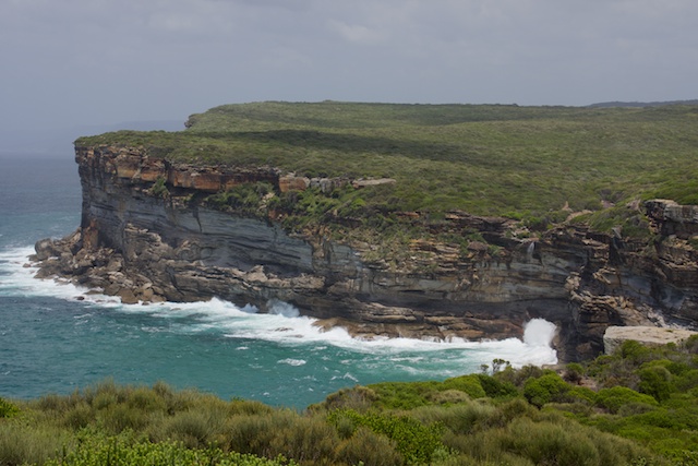
Then it was off down the Coast Track, along the cliffs and through the heath to Marley Beach. I have never been to the lagoon, and I did contemplate this for a while, but it was far too hot to cross the exposed sand dunes. Save the lagoon for another time? Instead I found a nice shady cave and had a rest.
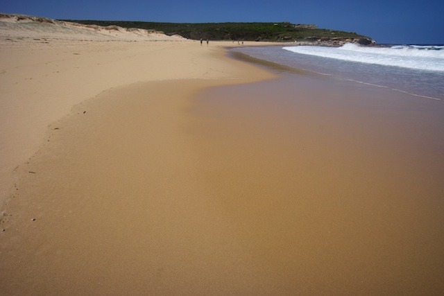

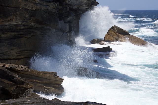
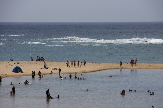
Some swimmers were cooling off at Marley Beach. This is a dangerous activity. Marley has a bad reputation for drownings, with its big surf and rips. I walked along to the much safer Little Marley Beach for a swim.
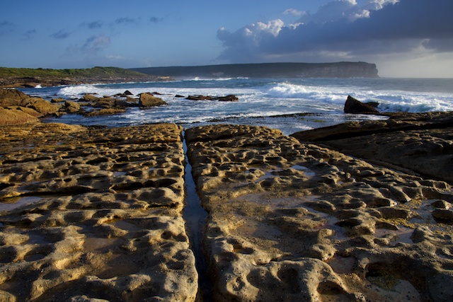

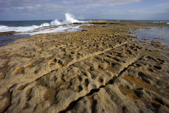
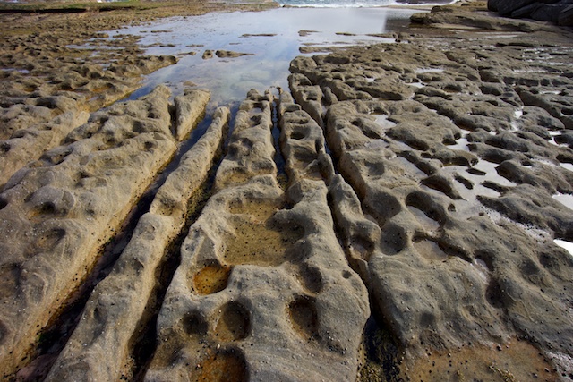
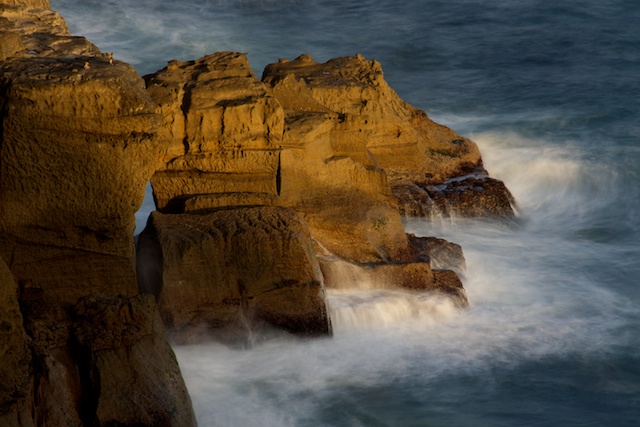
I also spent some time on the rock platforms near Marley. There are a lot of interesting formations in the rocks carved by wave action.
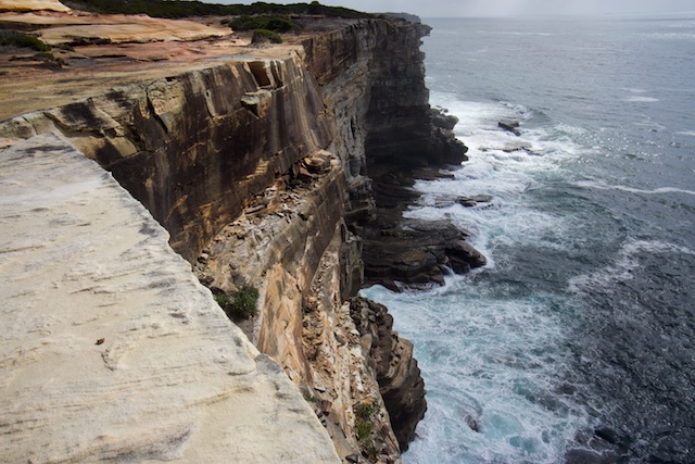
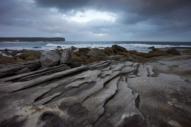
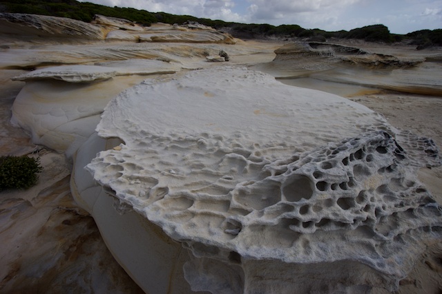
Also on the cliffs south of Marley are more interesting rock formations, this time carved by wind power. Plenty of photo opportunities.


The northern most creek that flows into Wottamolla Lagoon has a dam wall contracted from rocks that provides a very nice place for s swim. Another good place to cool off. I was intending to stop at Wottamolla and have another swim – but there was far too many people around.
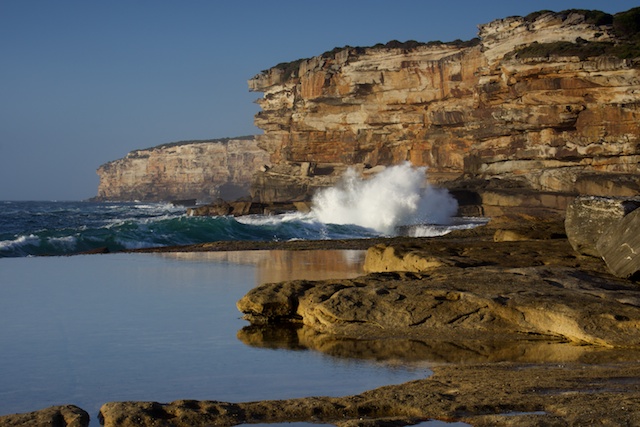
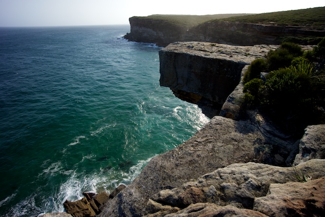
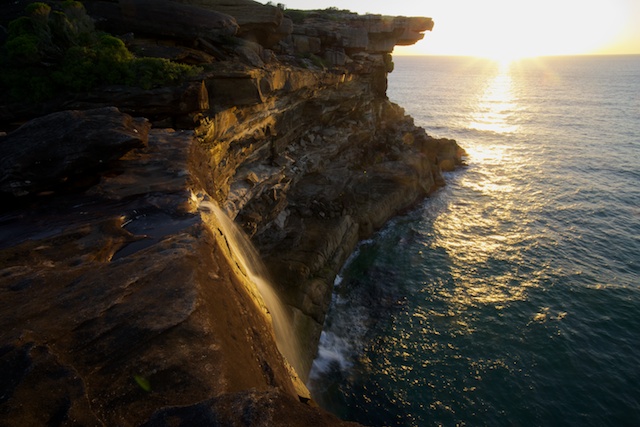
So, I kept walking south to Curracurrang. It was much quieter here. I walked up the creek to the swimming hole and cooled off in nice clear water. Then back on the track to Curracurrong. I spent some time here photographing the creek and Eagle Rock – one of the iconic places in Royal National Park.
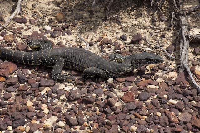

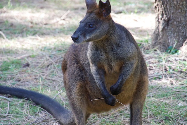
Instead of continuing along the Coastal Track, I headed inland to the Curra Moors, and followed the Curra Moors Track to Sir Bertram Stevens Drive. The Curra Moors have much restricted views, but are interesting with plenty of birds and flowers on display.
The worst part of the walk was the short section of Sir Bertrand Stevens Drive. The road was not too busy, but the bush to the side was covered with an incredible amount of rubbish. it was a disgrace! You had to be careful as you walked along the verge, not to tread on broken glass.
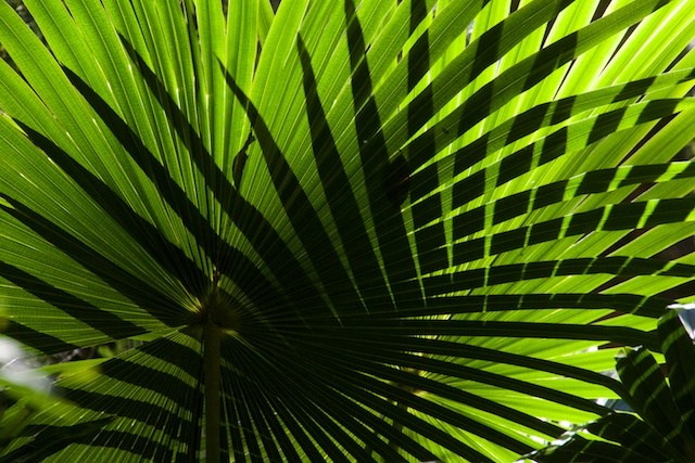
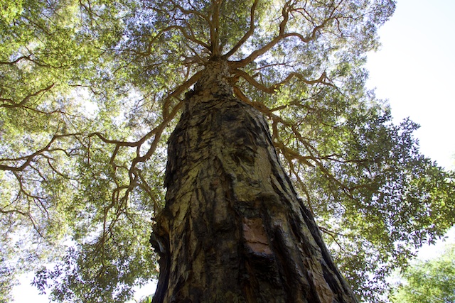
The Wallumarra Track starts off along an old fire trail. Fast easy walking, more pleasant than the road. Then into the bush along a nice track that descends down to Bola Creek. Here there is some very nice creeks and great rainforest. This is a place I will return to in dull weather, more suited for photography here.
The track took me to Lady Carrington Drive. I walked uphill to Sir Bertrand Stevens Drive again, and then along the Forest Path. This was fast walking. Then onto the Couranga Track. This crosses the Hacking River and climbs up onto an old logging road formation which it follows up towards Waterfall. There was seem interesting dry stone walling on the benching of this track. But there was also a lot of overhanging vegetation. The last part of the walk was along the Uloola Falls Firetrail back to Waterfall Station.
More photographs are on my website here.