
Wendy was returning home. She dropped me off at Ulverstone and I then spent three very enjoyable days with my sister and brother in law who live in that area.
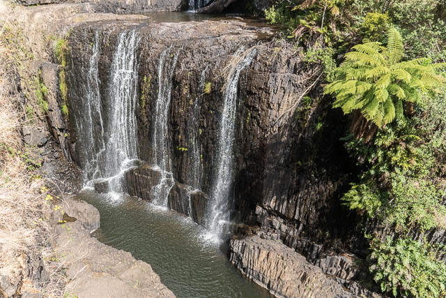
On the first afternoon, we visited Guide Falls near Burnie. These waterfalls (there are several drops) are quite attractive – and would have been a lot more so if the water level was higher.

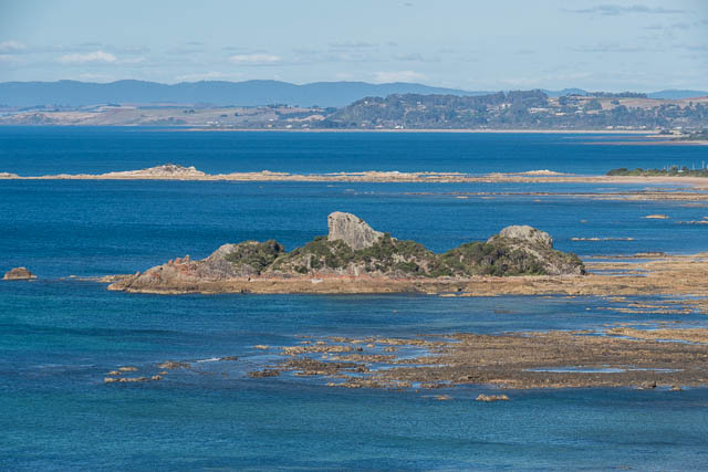
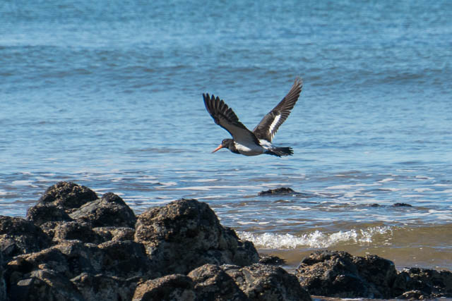
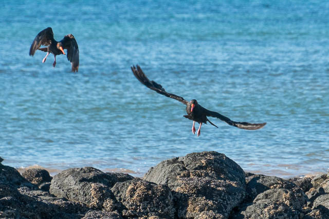
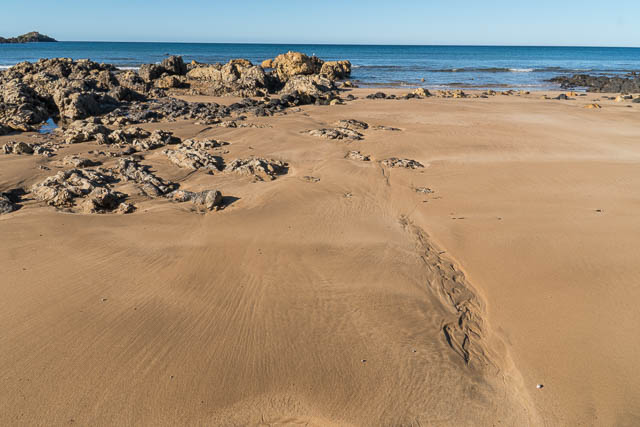
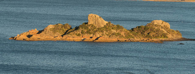
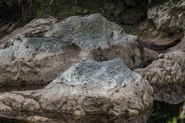
After we returned to their house, I spent the later afternoon wandering around on the rock platforms nearby at the Goat Island Reserve. Goat Island is a small grant outcrop, but around it are a range of other rocks including some eroded columns of basalt. As well as the rocks and rock pools there were lots of birds to photograph.
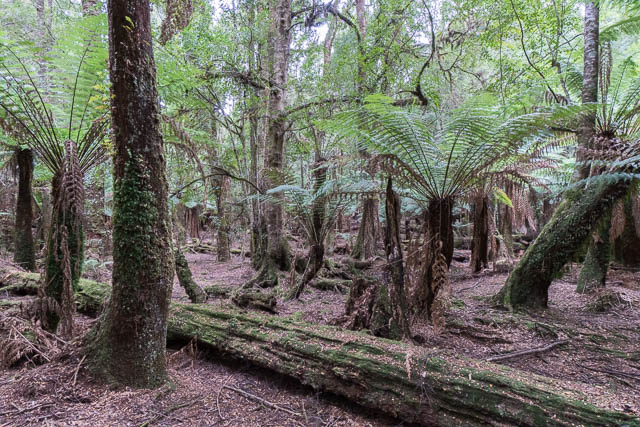
The second day, we headed into the Tarkine – along what is called The Tarkine Drive. Our first stop was at Trowutta Arch. This is an interesting limestone arch with a flooded sinkhole. Around about are a lot more sinkholes and some beautiful rainforest.

We then continued along the Tarkine Drive.
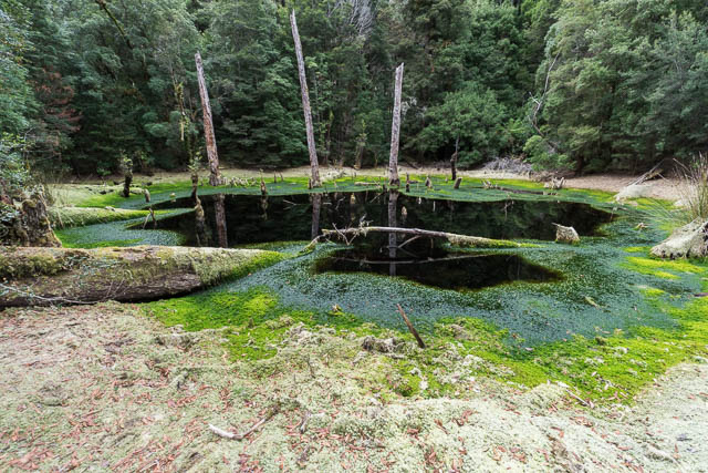
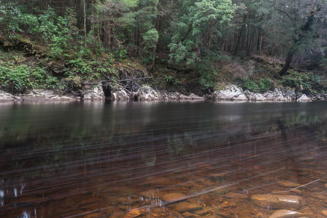
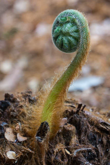
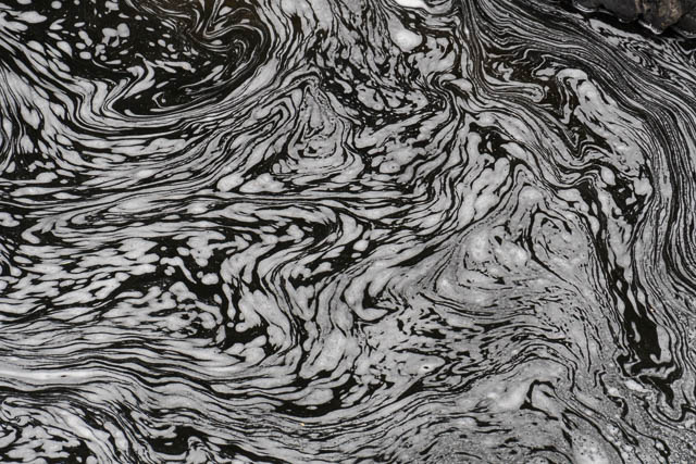
we went past a small flooded sinkhole right next to the road, and then went for a walk along the Rapid River. Not may rapids on our visit however – the water level was very low. And not much in the way of fungi in the forest on the banks.
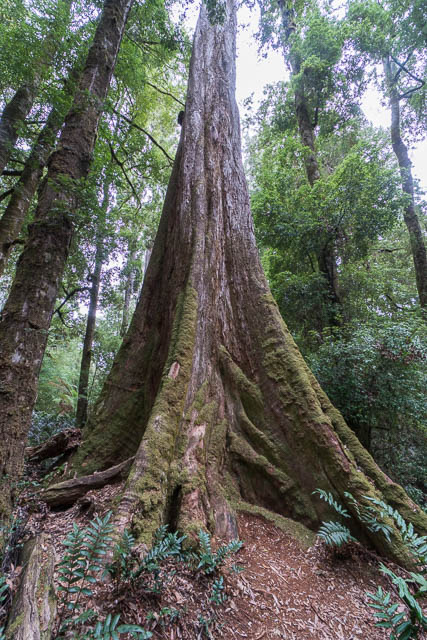
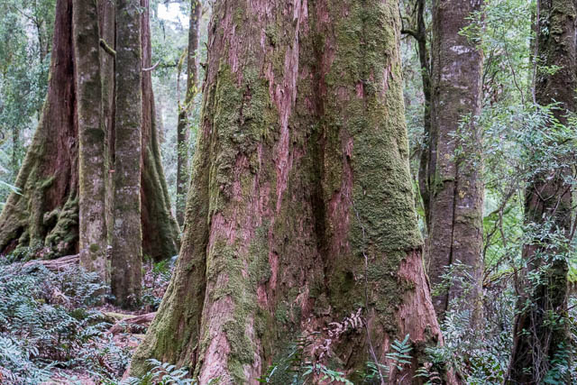
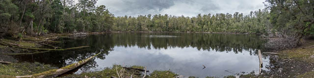
Next, was a large and impressive flooded sinkhole – Lake Chisholm. The walk down to this feature took you past some very tall trees.
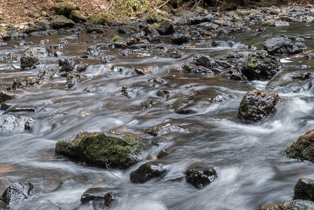
Our last walk, was at the Julius River. More rainforest walking and again the river could have benefited with more water.
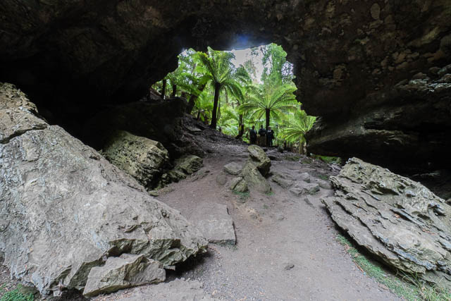
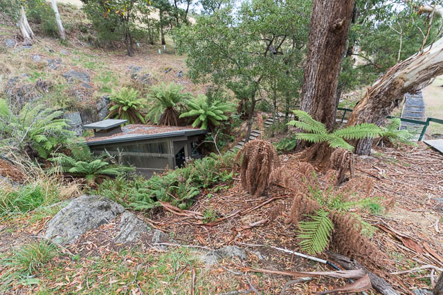
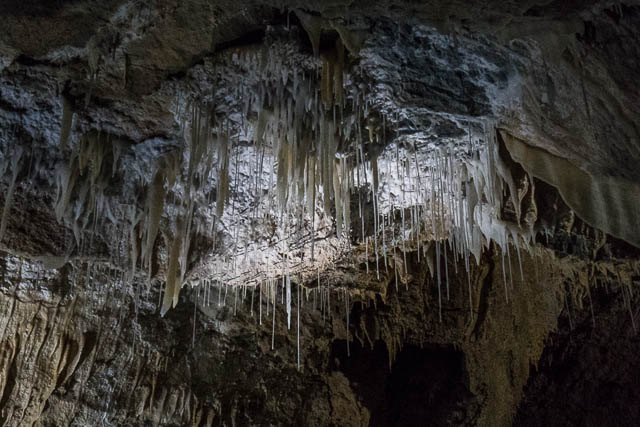
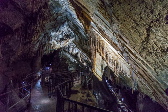
On the next day – we did something quite different. We visited a limestone cave not that far from Ulverstone – Gunns Plains Cave. This was a most worthwhile excursion. The cave, although not that large, was very well decorated.
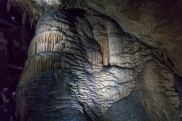
Perhaps its best features were some large shawls.
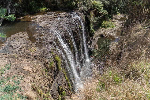
We then headed to Leven Canyon. Along the way we stopped off at Preston Falls –
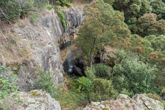
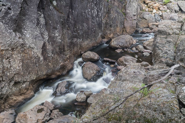
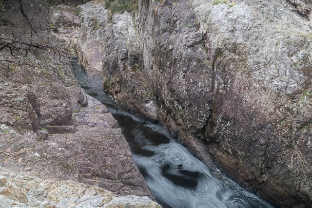
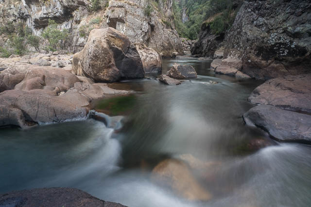
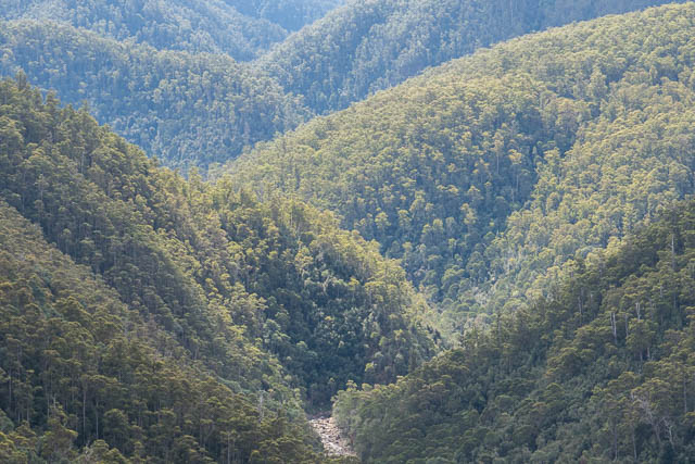
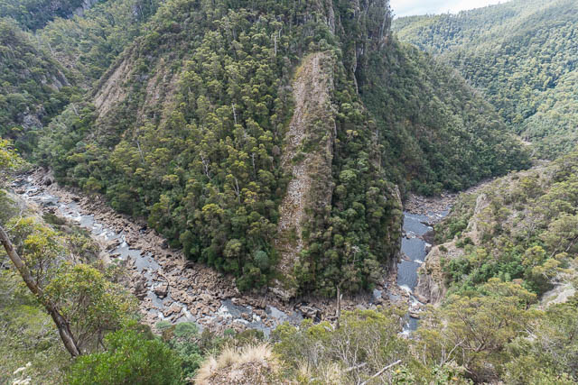
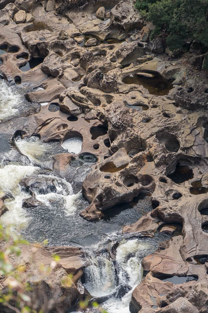
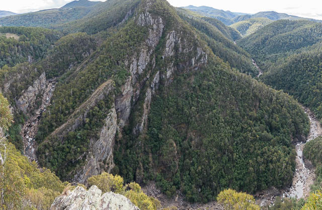
Leven Canyon is a deep gorge and is well worth a visit. Above it are two lookouts and at the bottom there is a walking track down to the river level. We did the lower track first – after a steep descent it crossed a bridge over a raging torrent (and this was in low flow – in higher water it would be much more impressive.
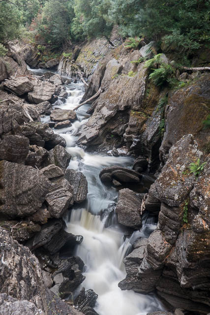
This feature is called “The Splits”.
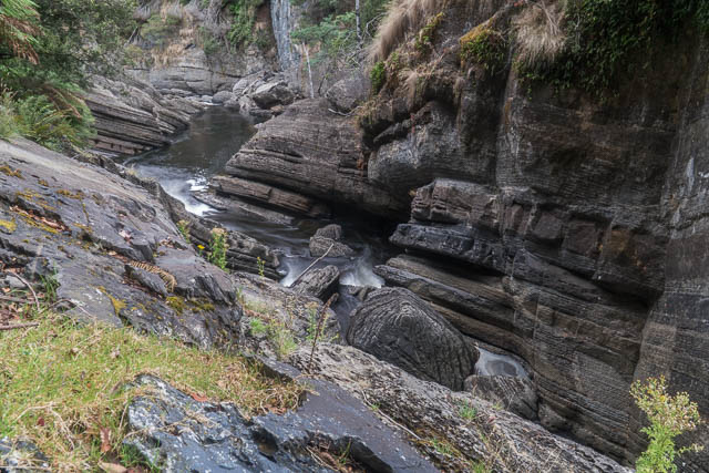
We continued downstream to a bend called “The Devils Elbow”.
After climbing back out the same way, we visited the upper area. We had lunch in a nice picnic area and then did a loop walk to two lookouts. Both feature great views of the gorge. To get from the lower lookout to the upper one we had to climb around 700 stairs!
More photos can be found online here and here on my website.