
Wendy had organised a walk for the weekend. Martin, Steffy and myself were keen to join her. Now all we had to do was to work out where to go. Steffy had suggested a walk along the lower part of the Colo River and that sounded nice.
We started from Mountain Lagoon. Some of the party (all except Wendy) had visited the first part of the walk a few years ago. On that occasion we had walked from Mountain Lagoon along Mailes Ridge to Colo-Meroo campground and returned the same way the next day. This time we intended to walk in via the same route to Colo Meroo, and then walk up the Colo River, camp part way along, and then next day keep going to the junction with Tootie Creek where we would climb out and walk back to the car via the T3 Track.
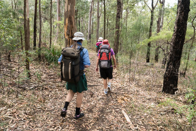
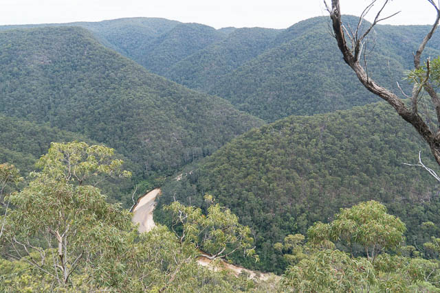
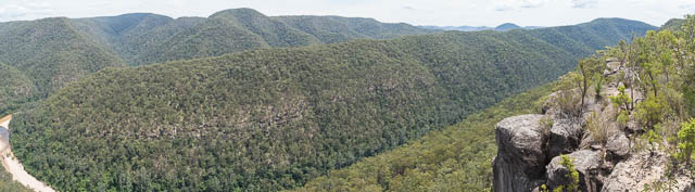
It was quite hot when we set off. Luckily most of the first bit of thew walk is downhill except for a short initial climb near Mountain Lagoon. It was also quiet shady along the Gospers Firetrail to where we turned off along the Mailes Ridge Track. Along Mailes Ridge, it was too hot and sunny to sit on one of the lookouts for lunch, so we continued on the the end of the ridge and had a late lunch at a nice shady spot.
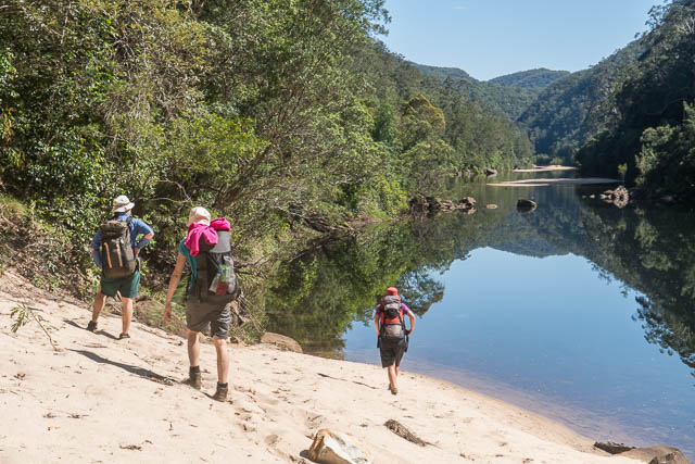
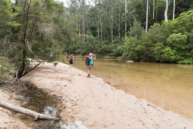
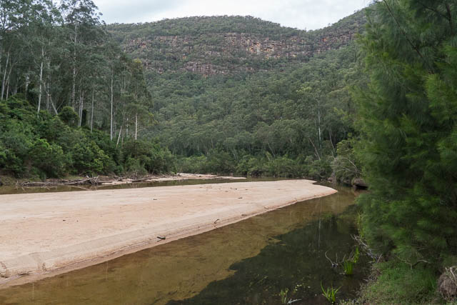
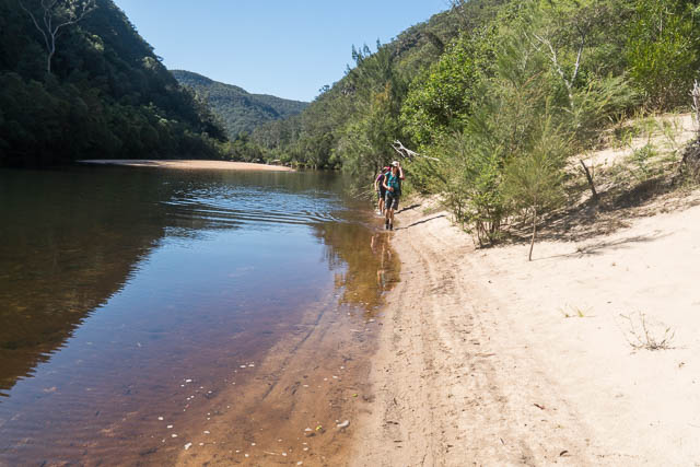
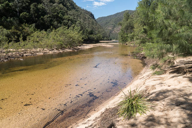
Then we descended down to Colo-Meroo. We quickly passed through the campsite and reached the river. It was about 3 pm when we started to walk upstream. The walking along this part of the Colo River is very easy – the river is very shallow and sandy. Most of the way you are walking on big sandbanks of hard packed sand with the occasional ankle deep crossing. But after a while, it becomes quite tiring. It is good to walk in volleys with tight fitting socks to keep out the sand. I think we only found ourselves in quicksand at one place near a deeper pool.
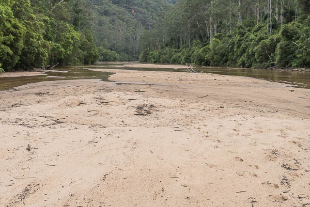
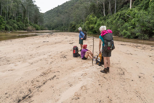
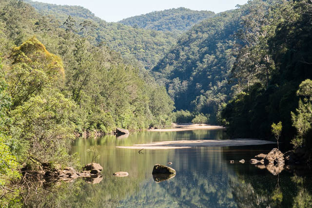
It took us nearly two hours to walk the 5 km section to a big bend that we could see earlier from the ridge above. Here there were plenty of campsites on the big sandbanks, but we were fortunate to find a rare grassy bank near the river. It is always preferable to camp on grass rather than sand.
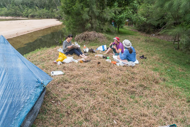
That evening, we had to cook on stoves rather than a fire due to a park fire ban that looks like it will be in effect till April 2018.
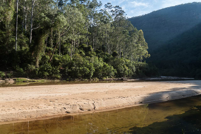
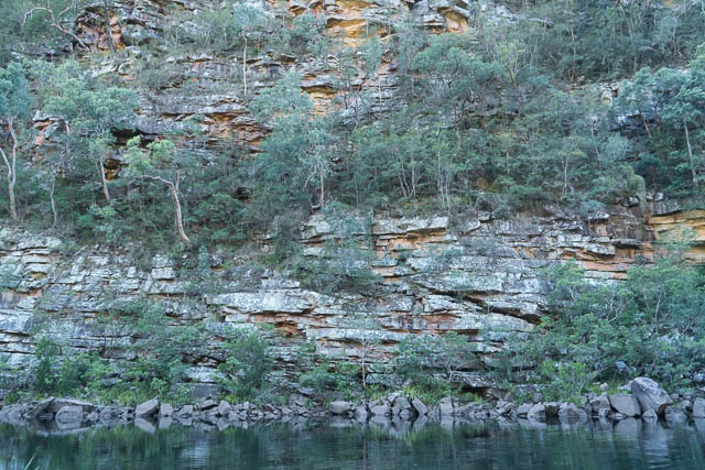
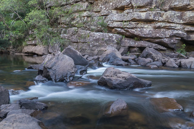
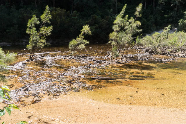
On the Sunday, we continued our walk up the river. The remaining section to Tootie Creek is shorter (about 4 km I think), but the pools are much deeper and you need to leave the sand and walk on the banks a lot more. We had three sets of rapids to walk past and at the third set, it was better to follow the west bank all the way to the Tootie Creek junction (and the fourth set of rapids).
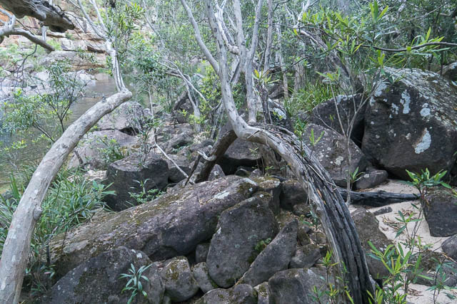
We arrived at Tootie Creek after about 90 minutes walking. There were other parties camping there – one group had just packed up and left, while the second group was starting to pack up. We took our time, having a swim and then resting in the shade before the climb out.
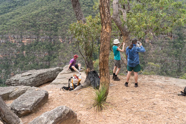
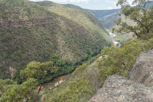
We could have had an early lunch, but decided it would be better to have lunch part way up the hill. The track out was easy to follow and we went past two nice lookouts. But they were too much in the bright hot Sun for us to stop for lunch, so we continued up into a shady spot not far from the top.
After lunch, we soon reached the fire road, and then had a fairly pleasant 5 km walk back to the car.
This was a nice walk along a pleasant section of the Colo River. But perhaps a bit strenuous given the warm conditions. More photos of the walk are online here on my website.