
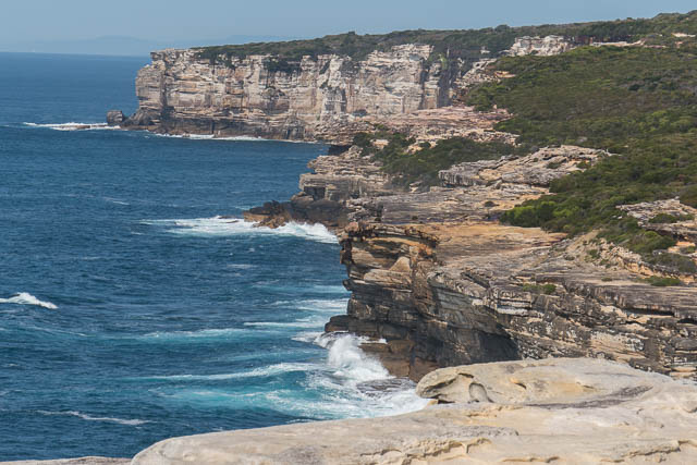
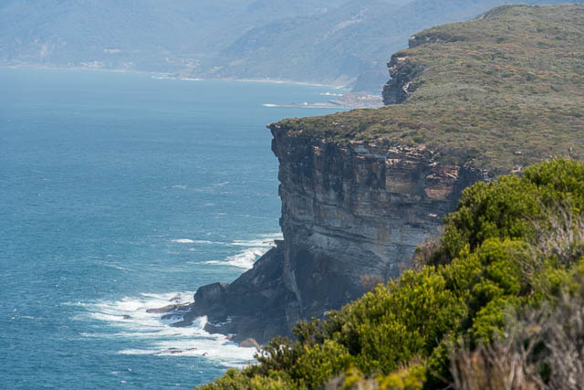
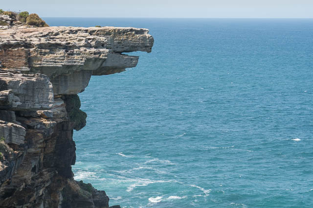
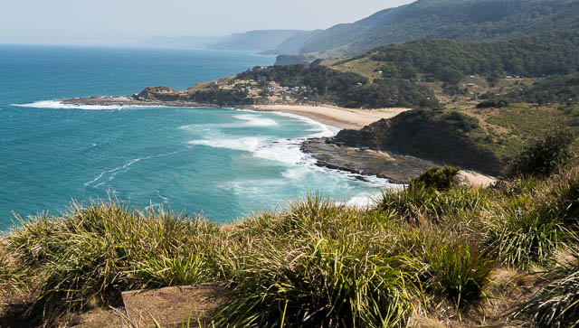
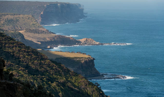
This was my first time walking all the way along the Coastal Track in Royal National Park as a daytrip. Royal is such as beautiful national park that it is worth spending more time there if you can. As a daywalk, its not too hard. There are a few hills, but none of them are too big and most of the way you follow a very good track.
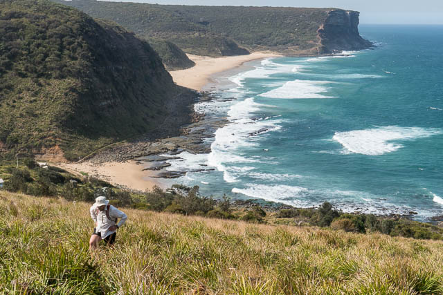
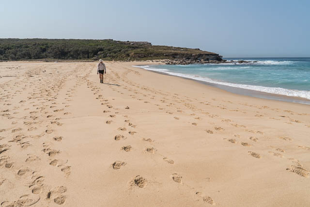
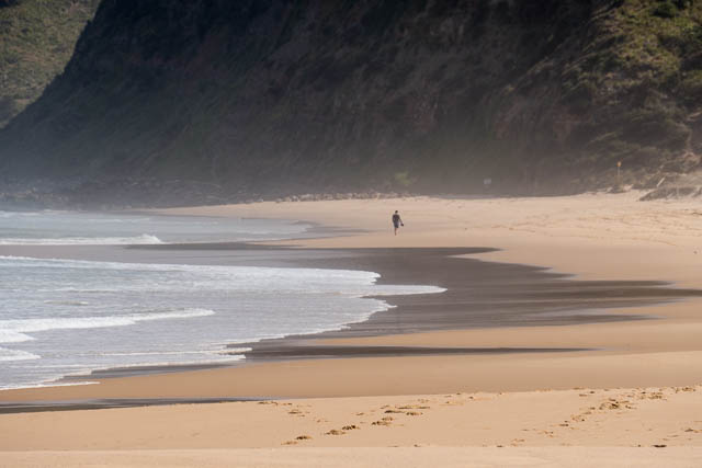
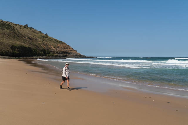
I did the walk, with Bob. We caught the 8:30 am ferry from Cronulla to Bundeena and so started walking about 9 am. We finished at Otford in time (just) for the 4:19 train back to the city. My phone GPS measured the distance from Bundeena Wharf to Otford Station as 28 km. We didn’t walk fast, but we did walk at a steady pace without too many breaks. I had time to take a few photos – but really just snaps rather than waiting for good conditions or taking time to improve composition. And – not many photos of the abundant birds.


It was a hot day for walking, but there are plenty of sources of good water all along the way from creeks with natural catchments. We stopped for lunch at a nice shady cave at Eagle Rock, which is roughly the half way point.

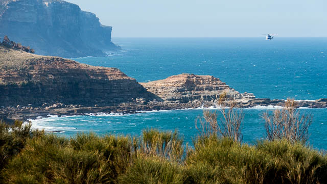
I mentioned above that we did see a lot of birds, but not that much there wildlife – a few lizards, but no snakes or echidnas (animals you often see on this walk). But – we did spot a number of whales – all a very long way out to sea.

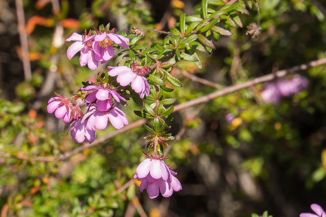
Wildflowers were good, but I thought they were not as good as my previous visit to the park a week or two before. Perhaps when you walk a bit faster, you don’t have the time to notice these things.
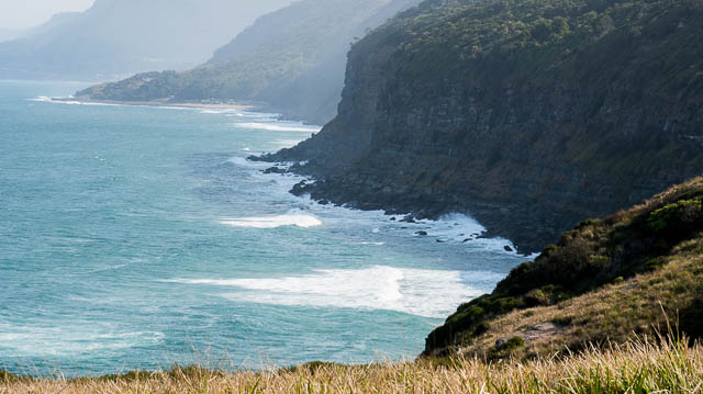

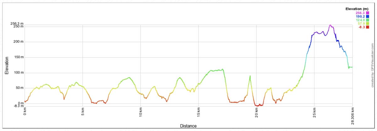
Which is the best way to do the walk in a day – north to south as we did or the other way? The GPS elevation trace does show a slight advantage in walking from Otford, but then if you do it on a day like we had, you are looking into the Sun most of the day. The biggest hill is the one from the Palm Jungle up to Werrong Point, and this is not too steep and in the shade all the way.
Here is a GPS trace –
[sgpx gpx=”/wp-content/uploads/gpx/RoyalCoast.gpx”]
Here is the GPS elevation profile (click graph for a larger view) –
More photos are here on my website.