
I had never visited Malabar Headland. For a long time it was military land and a rifle range. Now, the military land is Malabar National Park. The rifle range unfortunately remains.
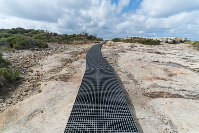
Malabar Headland is on the south side of Maroubra Beach. When it became a national park, a high quality track was constructed (or reconstructed?) out along the coastal cliffs past Magic Point and out to Boora Point – the furtherest part of the headland. It is possible to continue around to Malabar Beach.
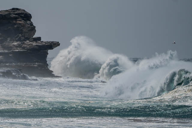

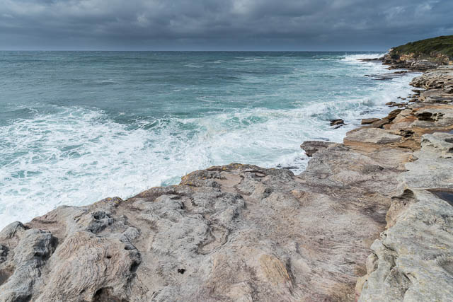
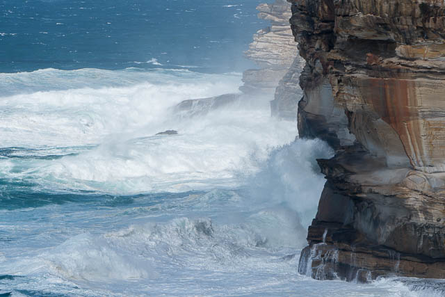
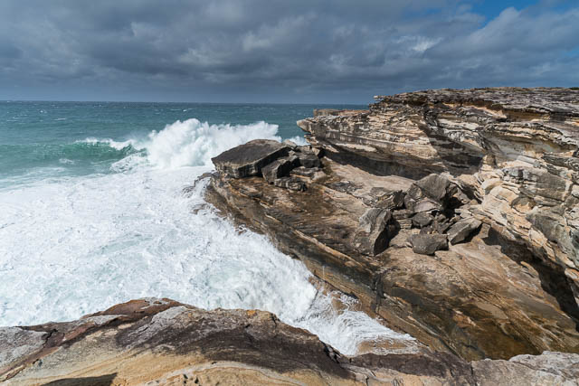
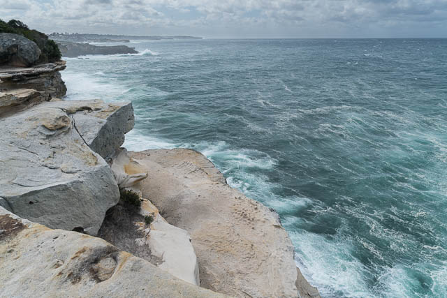
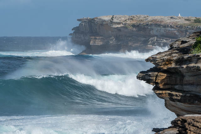
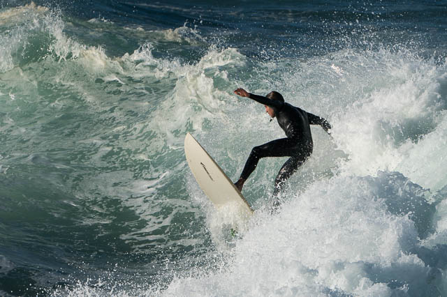
I walked from Maroubra, out to Boora Point and back and then walked north along the Coastal Path to Bronte. On the day, powerful surf conditions were forecast, and there certainly was a spectacular sea.

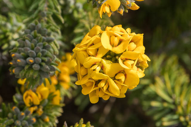
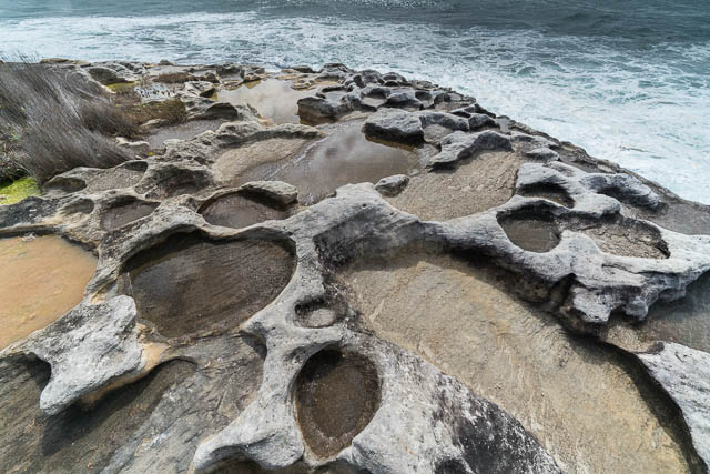
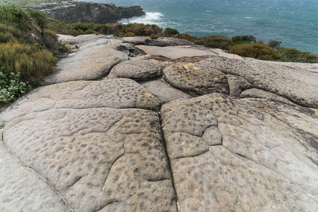
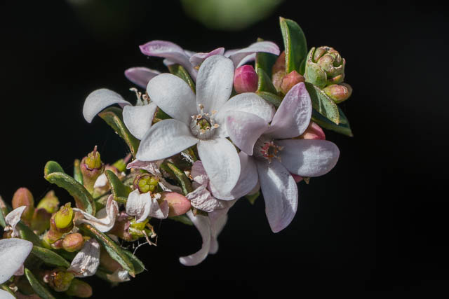
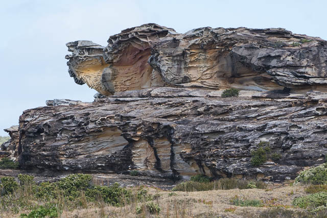
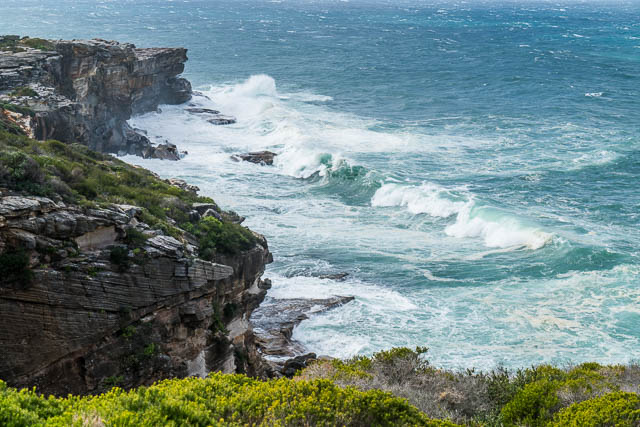
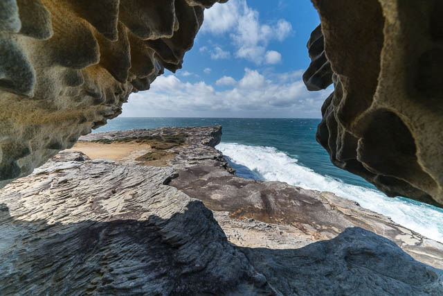
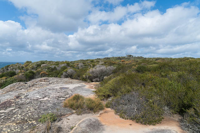
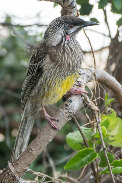
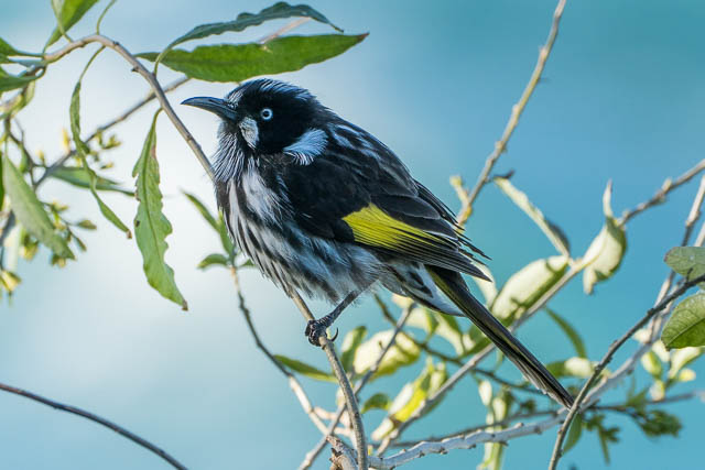
The walk out along the headland is very beautiful. The track follows close to the cliffline so there are spectacular views all the way. On top of the cliffs is some nice coastal heath, it provides good refuge to a lot of birds.
If planning on walking out on the Headland Track, then you need to be aware that it is often closed due to activity at the nearby rifle range. This applies every Saturday and the third Sunday of the month, and perhaps some other days. You need to check the alerts page of the NPWS site.
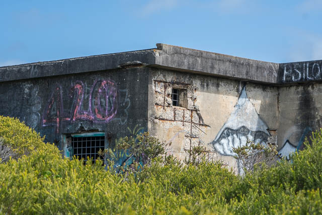
The track goes past several old WWII bunkers. Apparently there are also underground ammunition stores.
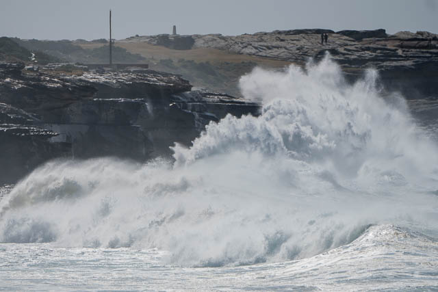
On my visit, the powerful seas provided a focus for photography. At other times the birds or passing whales would be good subjects.


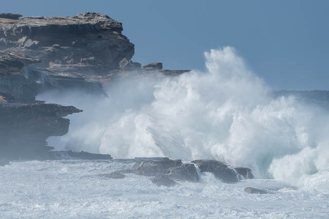
After walking out to Boora Point and back to Maroubra Beach I decided to keep walking north along the Coastal Path to Bronte. The huge seas made this walk very interesting.
More photos from the walk are online here on my website.