
A hot day was forecast, so I thought it may be nice to do a walk with plenty of swimming opportunities. So I headed to Glenbrook with the intention of walking through Glenbrook Gorge.

Glenbrook Gorge
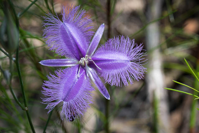
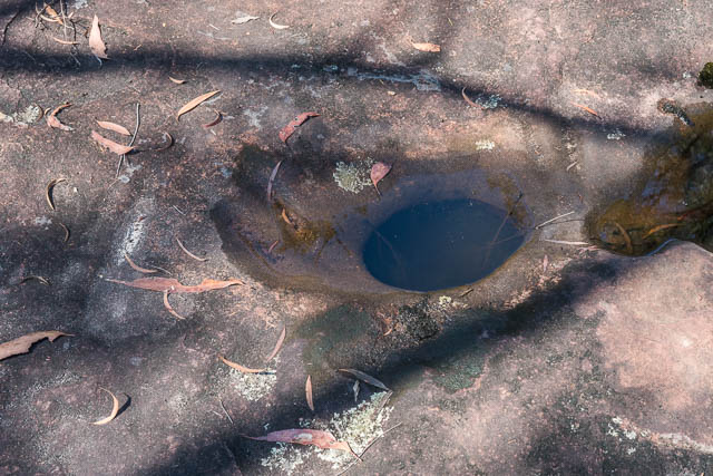
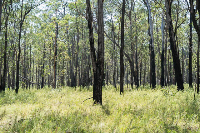
I thought, that it would be hotter later in the day, so I first walked from the station to the park entrance, and then to the Causeway and up the other side to the first bend and them along the track to Euroka. On the way I encountered plenty of wildflowers and also saw the Aboriginal sharpening grooves in the creekbed near the creek crossing.
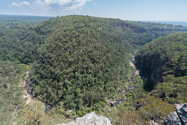
I then arrived at the Euroka Road, but took the nearby turnoff to Mt Portal. After a steep climb up a hill (the west side of the Kurrajong Fault), I arrived at the turnoff to Tunnel ViewLookout. This is only 200 m away and provides possibly the best view of Glenbrook Gorge. At the lookout, I had a snack and spent some time photographing.
From there, it was not far to Mt Portal, another lookout, which provides extensive views of the Nepean River and Cumberland Plain. Here, I passed through the gate, and down the steep absquealers track to the base of the cliffs and then continued on down the track to Glenbrook Creek. By this time, it was very hot.
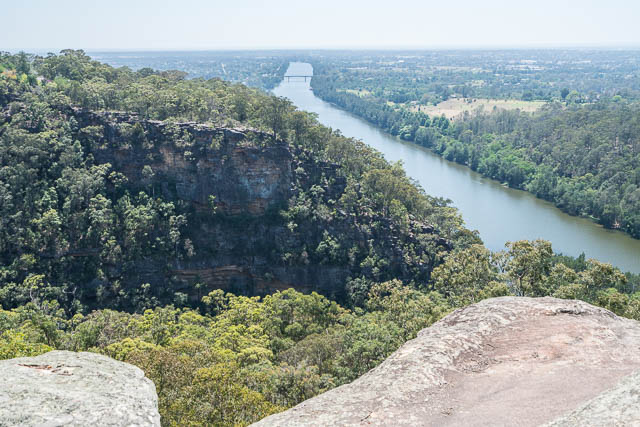
View from Mt Portal
At Glenbrook Creek, I walked upstream around a few bends to reach an excellent swimming hole, a little downstream of the climbing area. I spent a fair time cooling off in the water.
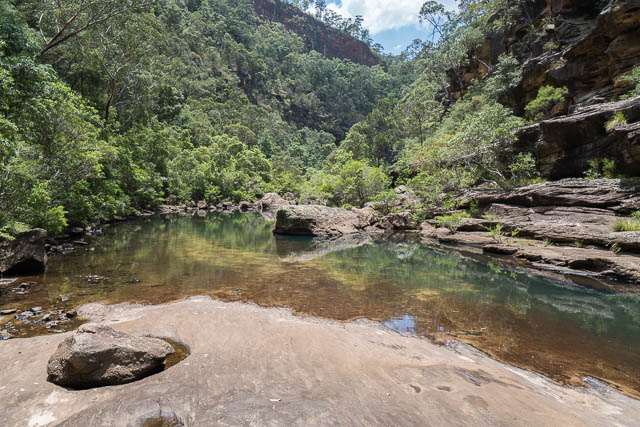
I then headed upstream a bit to find a shady cave for lunch. After another swim, I continued up through the gorge and then back along the track to the Visitor Centre.
This was nice walk, but a bit hot to be fully enjoyable. More photos are online on my website here.
And you can watch this short video shot from near Tunnel View lookout using a UAV –
How do you get from the Glenbrook gorge creek up to Tunnel View lookout?? Can you share a map?
Have a look at one of the online topographic maps and zoom in to Glenbrook. I walked down to the Causeway, then continued up the road to the first hairpin bend. Then went along the Euroka Waling Track till it his the Euroka Road – then went along the Mt Portal Road to the Tunnel View turnoff.
Hello Dave,
I was going to tackle the climb from Glenbrook Gorge to Mt Portal, do you have any photos of the short section of rope / ladders near the top? I just want to know what to expect
No I don’t – but I seem to recall it being very easy.