
I had never walked on the Illawarra Escarpment between Stanwell Park and Sublime Point. I had seen a possible walking route with tracks marked on Open Street Maps so knew there was a way to follow. I wanted to see if it was a feasible extension to the Coastal Walk in Royal National Park.
The Coastal Walk ends at Otford, and there is no obvious route from there up onto the escarpment. There is, at the next town south along the railway line – Stanwell Park. On the west side of the platform is the start of the Wodi Wodi Track which climbs up onto the escarpment in two different ways.
If wanting to extend the Coastal Walk from Otford, then you could walk to Stanwell Park along the road (not recommended), or go through the old Otford Tunnel (an interesting route, but you would need to take a good torch, and it is not easy to access the northern portal of the tunnel). There are other routes – off track that climb up to near Kellys Falls near Helensburgh. From Kellys Falls there are a network of tracks that extend along the escarpment and join with the top of the Wodi Wodi Track.
Anyway, on this trip, I was only interesting in the walk south from Stanwell Park. I had found some good notes online courtesy of the NPA. It seemed quite a good walk from Stanwell Park Station to the escarpment and then along to Sublime Point and then down to Austinmer Station.
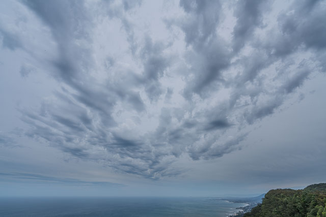
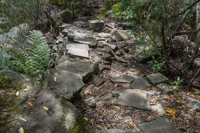
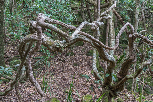
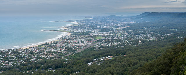
So I caught a train to Stanwell Park. Then I followed along the Wodi Wodi Track. A short way along it splits – one branch climbs up to the top nearer to Stanwell Tops, the other branch wanders to the south. That was the branch I took. Soon the track descends and crosses a major stream in the rainforest and then climbs up to join a more substantial track that climbs up to the escarpment. This track is sometimes called the “Bullock Track” – and you can see from some old stonework that it must have been a substantial track in the past. At the top (Mt Mitchell) are some rather good views looking back down to the coast.
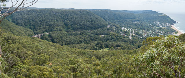
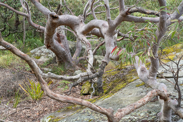
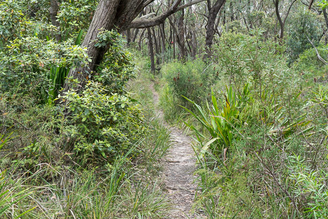
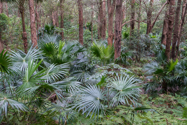
The track then continues to the south along the escarpment towards Maddens Plains. In a few places it crosses small creeks. Camping looks possible is many places. There are a few side tracks that lead a short way to lookouts. I stopped for lunch on one of these.
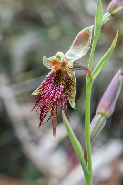
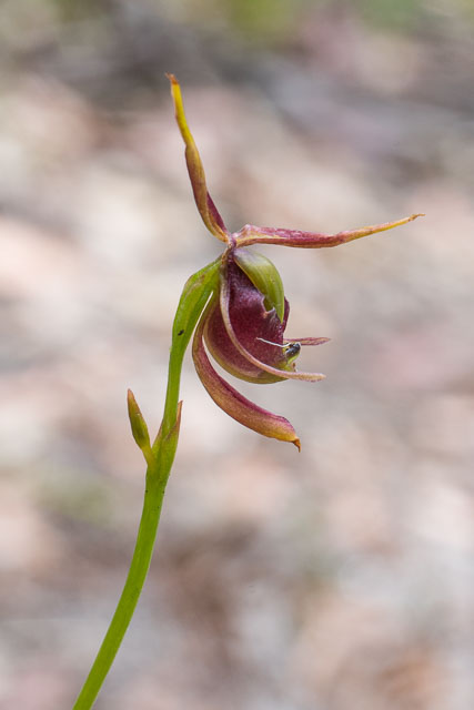
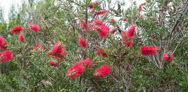
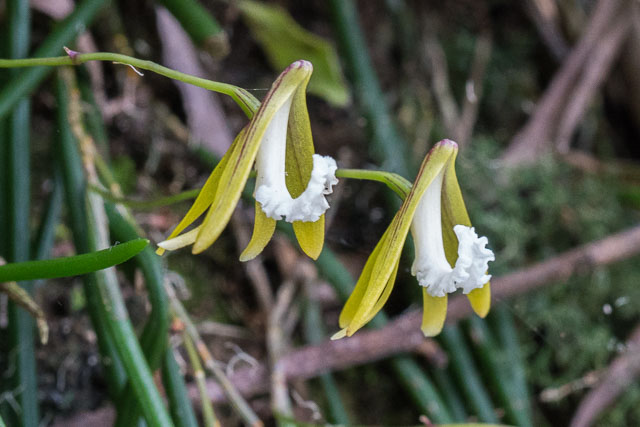
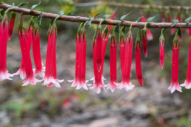
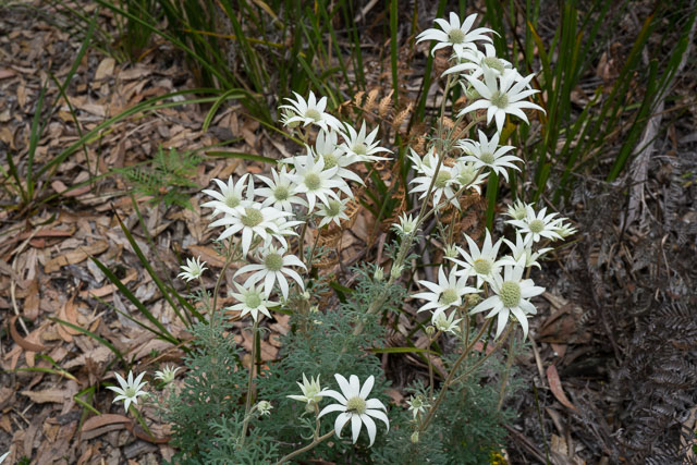
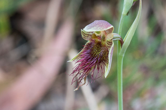
All the way along – there were lots of wild flowers out – including some orchids.
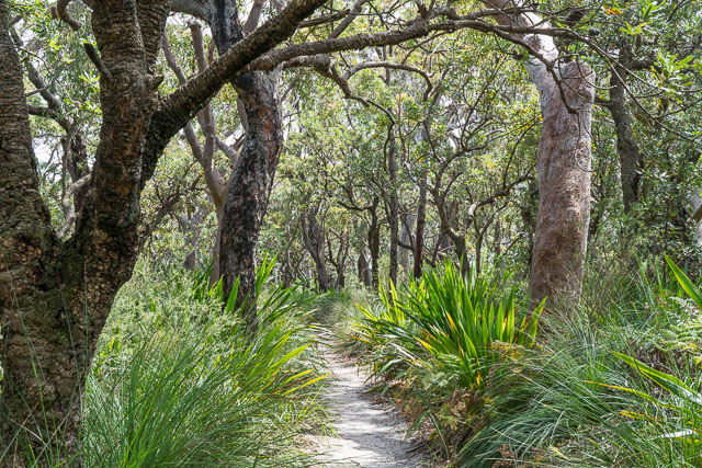
Further to the south the track crosses a few power line easements – and you need to be careful to follow the right route. The track is well signposted but some of the signs can be hidden behind bushes. This section is called the Forest Track and is easy walking all the way to Sublime Point.
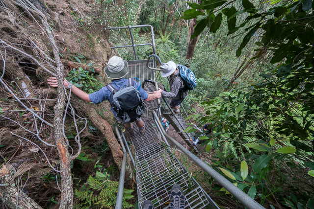
At Sublime Point, there is a cafe, picnic tables, toilets and a tourist lookout. It is also the start of the Sublime Point Track that takes you down to Austinmer. This is a very steep track – with a series of metal ladders followed by steep steps. You then enter a world of rainforest before hitting the back streets of Austinmer. Then it is a short walk to the station.
I did this walk on a Sunday, and on weekend trains only run every two hours on the upline to Sydney. It is worth looking at the timetable (or using an app) – I waited a short while for a train on the downline to Thiroul, and once there only had to wait a short while for an express train heading to Sydney.
This escarpment walk was very interesting. If you look here you can see there is a proposal to extend the Coastal Track all the way from Otford to Nowra. That would be a great walk – and all through bushland. You can also hear an interesting podcast made on the walk for the ABC Off Track series. I have more photos online here.
There is a track down Balls Hill very steep. A little hidden if coming from the top. But can be done. Walked it from Otford Station to Stanwell Park Station. So is possible to join the Coastal Walk. Head to the car park opposite the Cafe at Otford and walk south on the ocean side of the road barrier there is a narrow track. Follow the track through to Bald Hill then walk to the monument then head down to the tree line and walk west along the tree line the track is there head down. As I said care needs to be taken as it is very steep. Once down the bottom you come to an old road…heading towards the ocean you come to the Old Otford rail tunnel or if you keep going straight across the old road and follow the track you end up in the streets of Stanwell Park. You can walk to the beach or up to the train station.
Thanks – this sounds an interesting and useful linking track.
Last summer, when walking from Otford Station back to Stanwell Park (after having walked through Otford Tunnel and jumped the fence) I decided to take Station St/Otford Rd to Bald Hill and then looked for any passage down back to Otford Tunnel entrance but couldn’t find any 🙁
So after some frustrating sniffing ~100m along Lawrence Hargrave Dr (full of weekend traffic incl Harley motorcycle noises) I just plunged down over the barrier to that steep hill dropping to the “old road”. After an initial plunge, the scramble to the “old road” wasn’t bad. But in fact anything, including worst bushbashing I had, would be better than the damn noisy road.
Howver it’s good to know a better path exists that I’ve missed. I will certainly look carefully for if I’m there next time.
And your leg from Otford to Bald Hill via Beaumont Rd – Pantry Cafe is much better than mine. Thanks!