During Easter I joined Rob and Martin and spent 6 very enjoyable days on a bushwalk in the Blue Breaks. Our goal was to traverse the Bimlow Tableland. I had been on two walks last year where that was a goal – but the weather then did not cooperate. Would it be any better this time? Also t0 to get to the Bimlow Tableland and back in 6 days would mean some long days of walking.
We started from Kanangra Walls. This is perhaps my favourite starting point for Blue Breaks trips. You can start from Batsh Camp, Yerranderie or Katoomba but often those routes involve long road bashes. Going from Kanangra involves some very nice walking in the Kowmung Area before you get to the Blue Breaks and I find that a nice way to start.
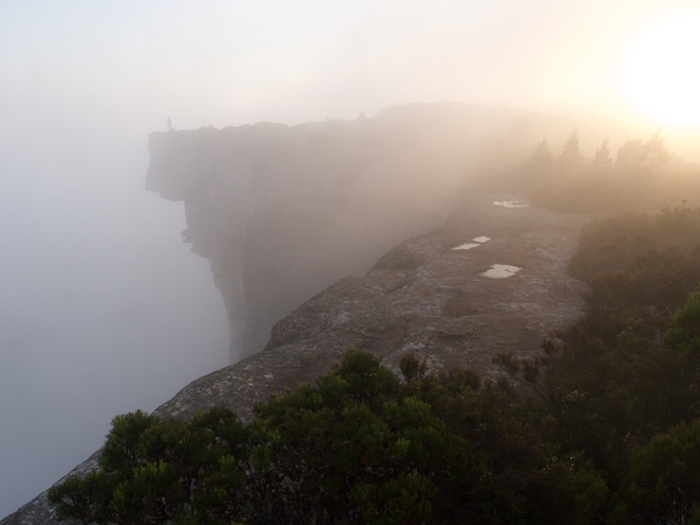
So on the Thursday evening we went out to Kanangra Walls and walked the short distance to the Dance Floor Cave where we camped. Up early on Good Friday, we set off across the Kanangra Plateau as the morning mist was lifting.
It was lovely and atmospheric. It would have been nice to spend a few hours photographing – but we could not tarry – we had a long way to go. We had a quick breakfast at the Coal Seam Cave and reached the Kowmung River via the Bullhead Range and Cambage Spire for elevenses.
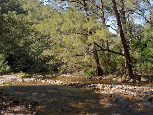
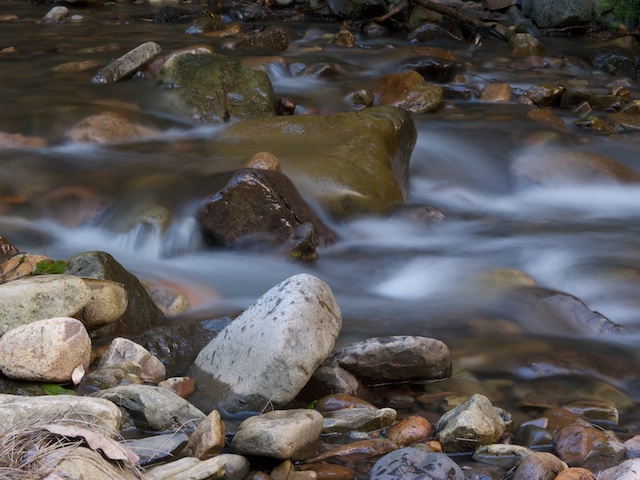
The Kowmung River was as beautiful as ever. The rapids sparkled in the sun. The river was up a little but not too hard to cross. Then we struggled up through the lower scrubby section of the Bulga Range and reached Bugle Lookout at the top, for lunch.
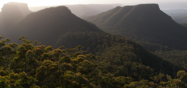
Then a brisk walk following a very faint pad along Bulga Range to join the Scotts Main Range road and down to Butchers Creek for a drink of water. Then to Byrnes Gap where we filled up our water bottles and bladders from the tank at the nearby hut. The owners were there and we had a friendly chat. Next, was a short but steep climb up Gander Head onto Axehead Mountain. Our proposed campsite, at Toddy Head was still a fair way off – and we walked fast in the late afternoon to arrive there just before dusk. The traverse of Axehead Mountain is always excellent. High level – skyline – magic views that seem to get better the further you traverse. Great walking.
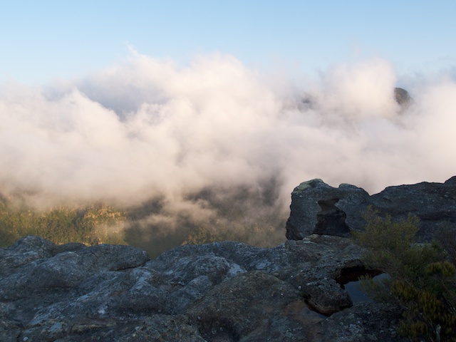
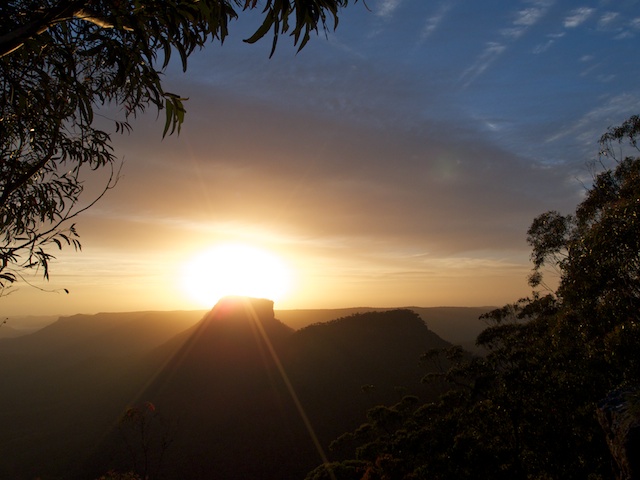
We were a little weary after our exertions, but a small toddy of port worked wonders. Appropriate, as we were camping on Toddy Head! Next morning, I got up early to photograph the sunrise. I was hoping for more valley mist like we had at Kanangra – but there was none that morning.
After breakfast, we set off for more high level traversing – over Bull Island (which I understand from talking to Myles Dunphy years ago, that this name is a corruption of the aboriginal “Bullaren”). Some of the other place names in the area are unofficial and are due to Sydney Uni Rover Crew (SURC) who produced he Gundungura Map and Guide in the 1960’s. Toddy Head lies above the “Grog Shop” – a bend in Butchers Creek (an old local name). After Bull Island lies Vengeance Peninsula with its three peaks – Mt Ruthless, Mt Remorseless and Mt Relentless (all SURC names). Off to the side lies Bull Island Peak (SURC name is Alchemy Mountain) which as a long ridge that joins up with Lacys Tableland. That ridge is amazing! An extreme knife edge. Years ago I gave it the name “The Razorblade”
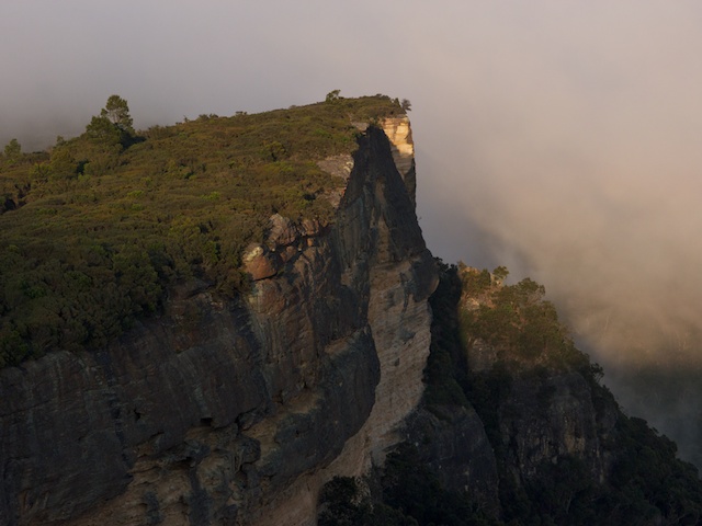
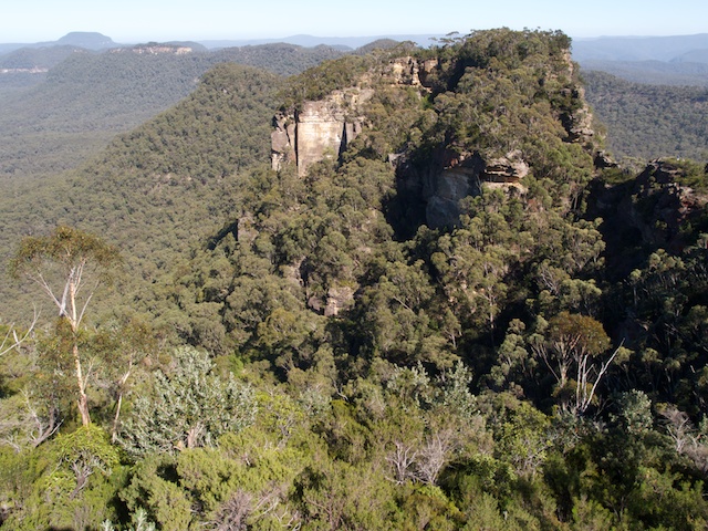
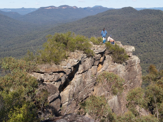
We had our own thin bit of ridge to negotiate. The first two peaks of Vengeance Peninsula are joined by a very thin isthmus, with high cliffs on either side. To cross it is quite easy but does involve some exposed scrambling. This is a very spectacular place!
Once across, it is easy fast walking to the end of Vengeance Peninsula and then you have the descent to Green Wattle Creek. This is one feature of the Blue Breaks – the cliffs are not too hard – it is often lower down – where there are steep dirt slopes – that are tricky. We had two such places to negotiate. Then it was a scrubby ridge to arrive at the junction of Butchers Shop and Bull Island Creeks – the start of Green Wattle Creek, for lunch. Back in the 1970’s, when I first visited this area – there were large open grassy flats. The large flats are now scrubby, but there are still nice open areas near the creek that make attractive campsites. Moist conditions meant a few leeches however, and that was not all – a few nasty jack jumpers made their presence felt as well while we had lunch.
Next was a climb up Cuff Link Pass. This is an easy way up onto Lacys Tableland directly above our lunch spot. There is an interesting story involving the name for this pass. Back in the late 70’s I was in a party that had pioneered the pass. On the way up, we arrived at a nice boulder and stopped for a rest and a bit of bouldering. One of the party – Ross Bradstock, on top of the rock – rolled down his shirt sleeves and took off his cuff links. Just why he was wearing cuff links on a bushwalking trip is another story. Anyway, he put the gold cuff links down on top of the rock and then completely forgot about them. A few years later, Ross happened to be on another trip in the area, and just happened to descend the pass, and just happened to spot the same boulder, and just happened to think some bouldering would be nice, and on top – he was surprised to find his old cuff links lying just where he had left them!
Our way up the pass, was probably a bit south of the easiest route. We had to do a little easy scrambling to get through the cliffs. Once on top, the way along Lacys Tableland involves walking “inland” – away from the cliffs. The ridge systems are vague and navigation is tricky. Scrub is not too bad. A small rocky knoll marks the border between Lacys and Bimlow Tablelands. Not far past this – we arrived back at the cliffs and stopped for our second camp. We found plenty of water in a small canyon nearby.
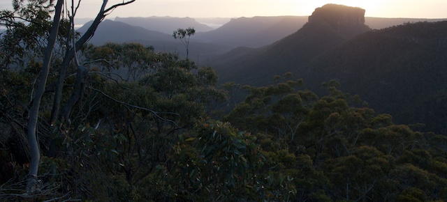
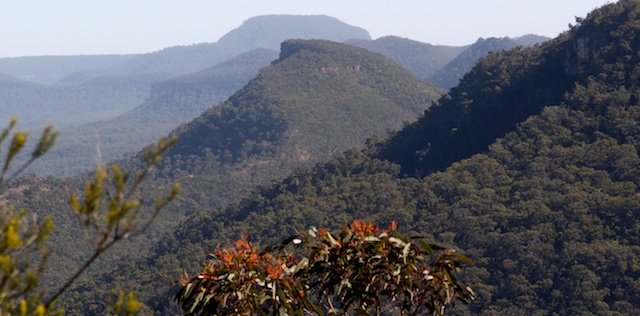
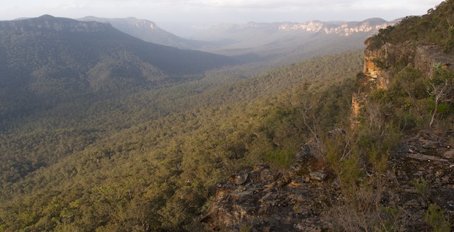
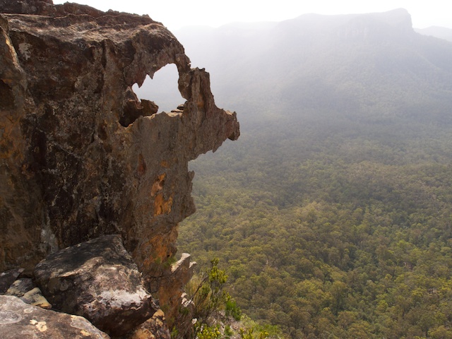
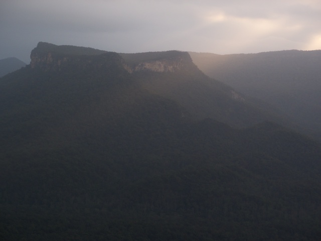
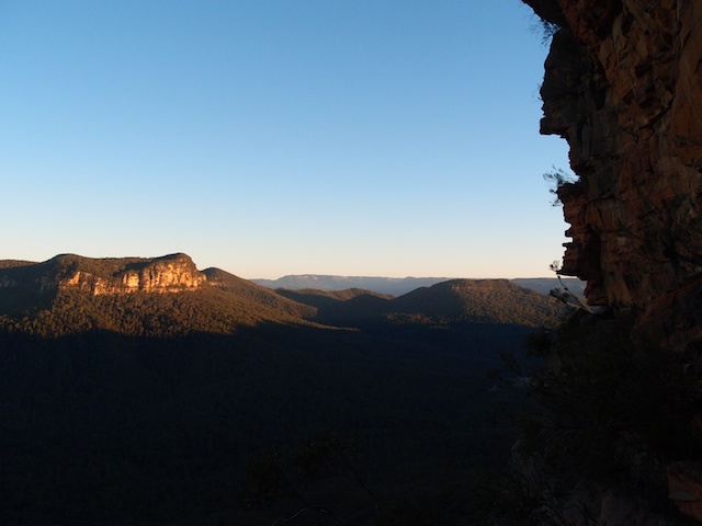
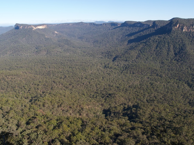
The third day was spent traversing the Bimlow Tableland. The walking is not easy – there are lots of small ups and downs, many small cliffs and lots of thick, prickly scrub. But the views are magnificent and get better as you walk north. It was another full day of walking, and we arrived at a small camp cave in the late afternoon for our third high camp. Water was obtained only a few metres away in rock pools in a creek.
Day 4 was spent descending to Green Wattle Creek and then crossing some scrubby flats to arrive at the base of the ridge to Shoobridge Head. This was another pass, that we had pioneered in the late 1970’s. I had only been up it once and down it once and remember it as being quite loose. It certainly was quite scary! The scrambling was quite easy, but quite exposed in places – and often followed the skyline – the only way to go as massive cliffs dropped off on either side. In one place we passed packs up a small bluff. The rock always looked chossy.
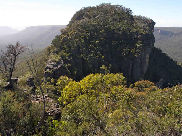
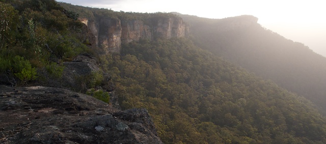
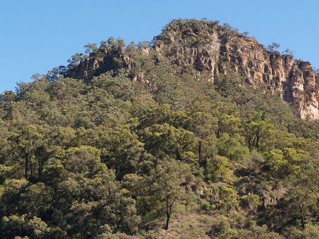
So it was with great relief that we arrived on top, and could again enjoy some fantastic views. The traverse of the this part of Broken Rock Range is quite easy. The scrub not too bad and no tricky cliffs. We passed a lot of nice campsites and some great lookouts. We got water from a small side creek that had a nice camp cave, but we preferred to camp close to the cliffs and views.
Our fifth day was much easier walking. We soon arrived at the south end of Broken Rock Range and then then down the easy pass to the ridge below. As I said above, the tricky bit is below – a place known as the “Cliffs of Dirt”, where you need to be careful as you descend. A nice ridge took us to Butchers Creek, and then we climbed up a generally open ridge to Scotts Main Range for lunch. After lunch, we walked down the road to the Kowmung River, meeting a NPWS ranger (or park worker?) on the way. Our last camp was spent at the junction of Gingra Creek and the last day we walked back to Kanangra Walls via Gingra Range.
Thanks to Rob and martin for their company on the walk. More images can be seen on my website here.
Links –
Broken Rock Range Traverse 1973
Tonalli Tablelend Traverse – 1974
Blue Breaks Walk – 1976 – this was the one we pioneered a pass up Shoobridge Head





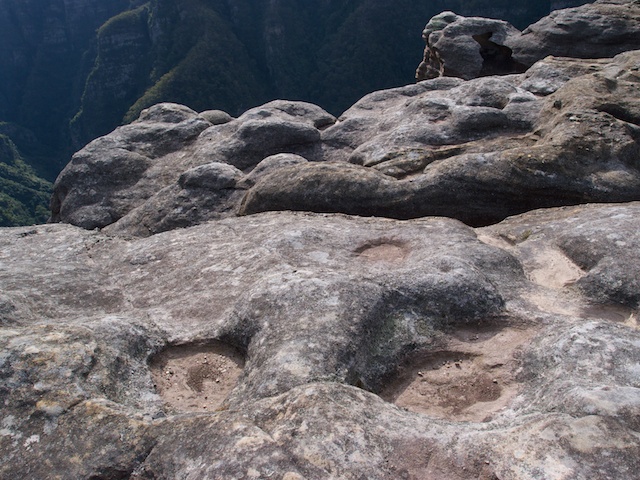
Way out in the blue, blue, blue.
Pingback: Blue Breaks: Lacys, Bimlow and Tonalli Tablelands | fat canyoners
Fabulous. I looked this up because I was at Echo Point on Sunday and could see an interesting range way down south, which I was sure would be the Broken Rock Range. Pity I’ll never get there. Too old now…